Skip to content
Home
Maps of Lithuania/Poland
Topographic maps
Ethnographic maps
Town views
Baltic Sea Charts
Other
Mapmakers
First Mention of Lithuanians and of Lithuania
Articles by Andrew Kapochunas
Presentations by Andrew Kapochunas
Main Menu
Home
Maps of Lithuania/Poland
Topographic maps
Ethnographic maps
Town views
Baltic Sea Charts
Other
Mapmakers
First Mention of Lithuanians and of Lithuania
Articles by Andrew Kapochunas
Presentations by Andrew Kapochunas
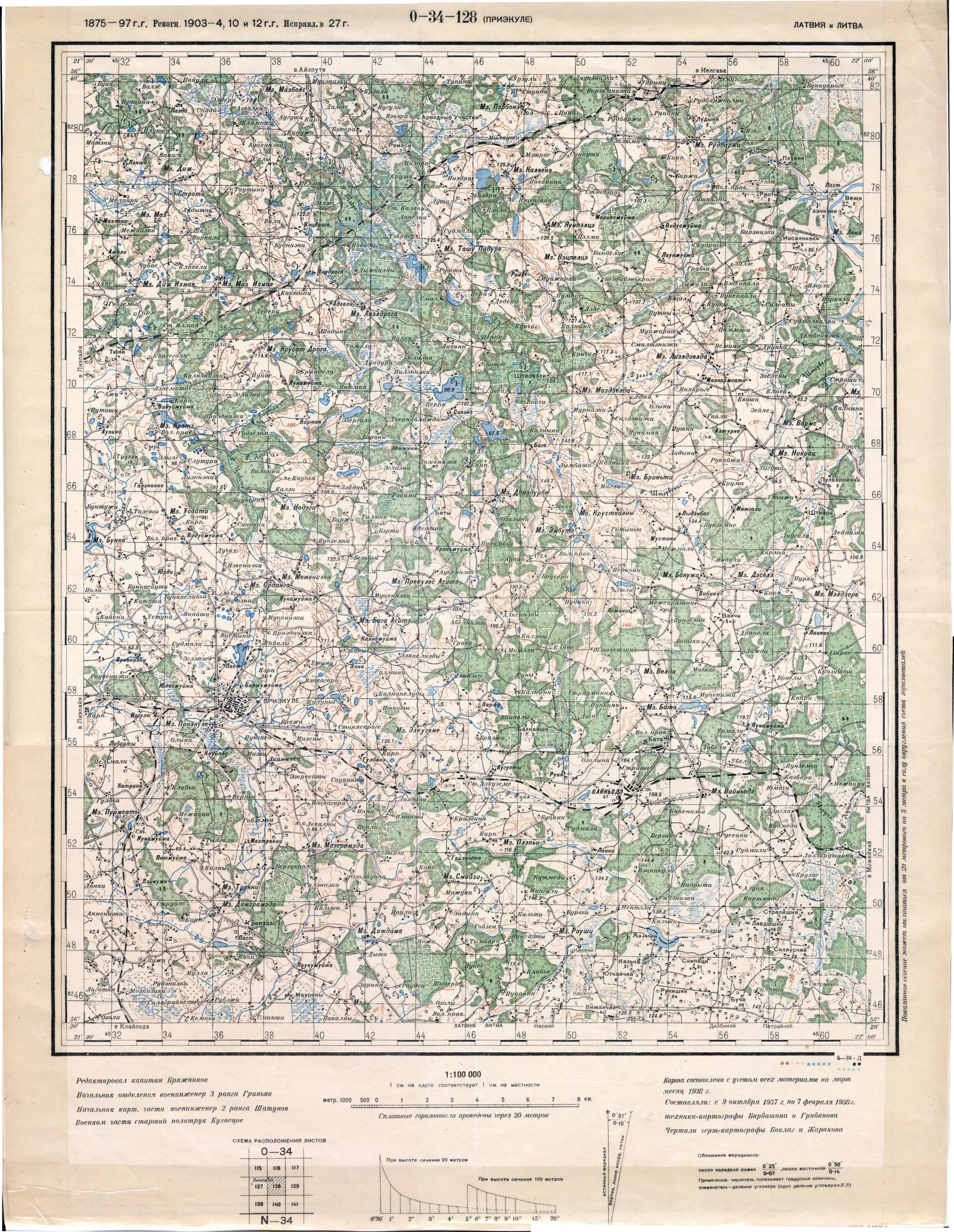
PRIEKULE, 1938
Topo: Russian
description
PRIEKULE
At
1:100 000
Year
1938
Author
–
Sources
–
Post navigation
←
Previous Post
Next Post
→
Related records
ТОПОГРАФИЧЕСКАЯ КАРТА ВИЛЕНСКОЙ ГУБЕРНIИ 1:210 000, 1836
ШАВЛИ, 1861
ВИЛЪНА, 1872