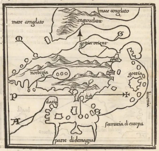
Chart of the North and Baltic seas, &c.
[with] Harbour of Heligoland. [with] Port
of Revel. [with] Harbour of St. Petersburg.
Drawn & engraved for Thomson's New
general atlas
Samuel John Neele (engraver) – John Cumming and John Thomson (publishers).
Published in London, Dublin and Edinburgh, 50 x 61 cm, at 1:3 600 000.
![Chart of the North and Baltic seas, &c. [with] Harbour of Heligoland. [with] Port of Revel. [with] Harbour of St. Petersburg. Drawn & engraved for Thomson](https://lietuvoskartografi4c16a.zapwp.com/q:intelligent/r:0/wp:1/w:1/u:https://lietuvoskartografija.lt/lithuanianmaps/wp-content/uploads/2024/02/1816_Thomson_Baltic_davidrumsey-scaled.jpg)