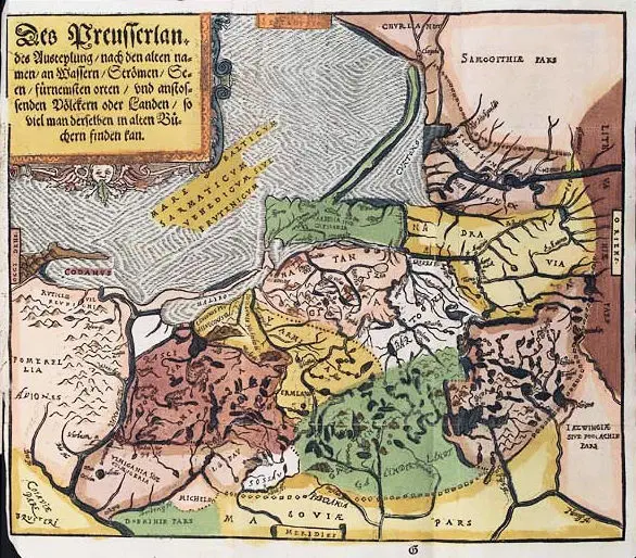
Regnum Borussiæ episcopatus
Warmiensis, palatinatus Mariaeburgensis et
CULMENSIS cum TERRITORIO DANTSICANO et
ichnographia urbis REGIOMANTIS Ausp. Acad. Reg.
Scient. Ber. N.p. 1763
Jan Władysław Suchodolec (architect/surveyor/cartographer) – Homann Heirs (publisher).
The top left and right maps of six unjoined sheets, the title beginning on the top left map and ending on the second map. Berlin, 60.6 x 51.8 cm, dated on the map 1730, perhaps its initial publication date.