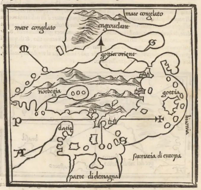
A chart of the East Sea, 1675BalticSeaChart description A chart of the East Sea London, 42.5 x 54.5 cm, at 1:2 000 000. From his “Atlas Maritimus’, or the Sea Atlas, being a book of maritime charts.” Year 1675 Author John Darby Sources National Maritime Museum, Greenwich, London: http://collections.rmg.co.uk