description
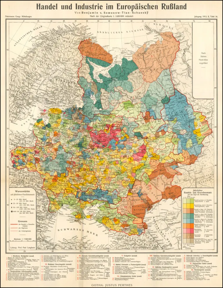
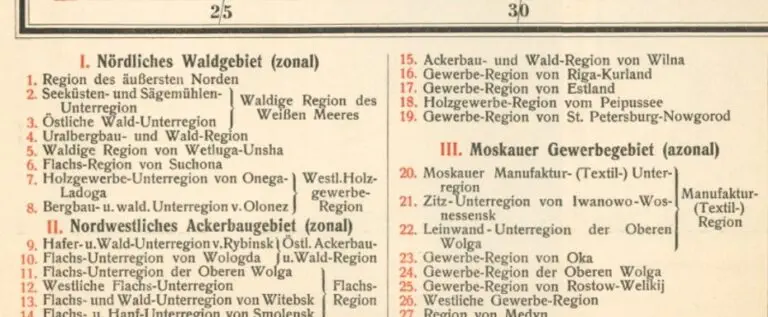
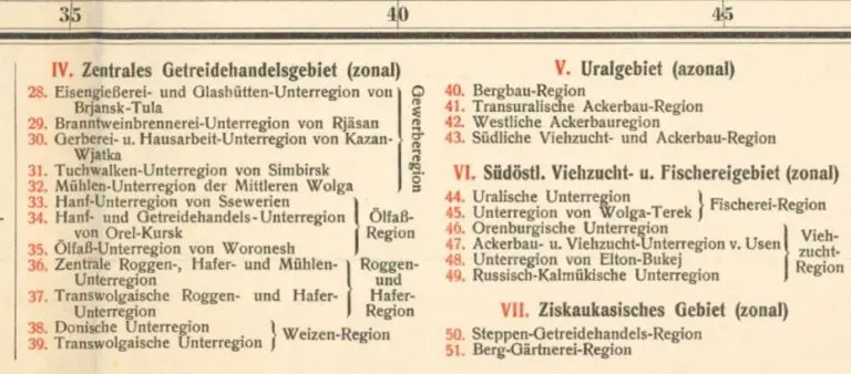
Handel und Industrie im Europaischen Russland
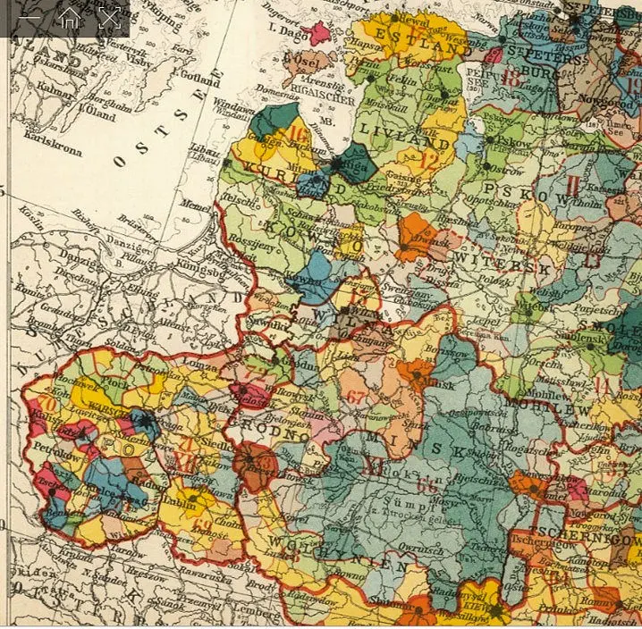
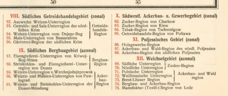
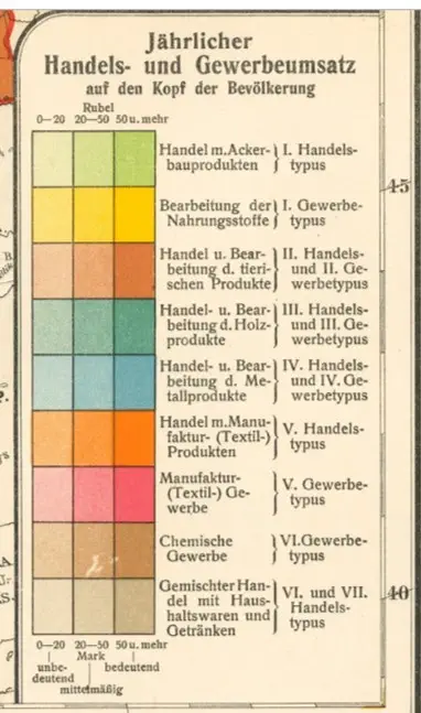
Gotha, coded to illustrate trade and industry in European Russia. Petermann’s original map: “Commercial and Industrial Map of European Russia,” was based on statistical data for 1900 compiled by B. P. Semenov-Tian Shanski. Errors in this reduction: 1. the economic units north of Wyasniki (using the German transliteration) in region 21 and east of Sergatsch in region 30 are shown in green stippling, which is not in the color key; 2. various units are left without color: regions 15, 28, 37
and 73; 3. lakes in the westernmost division of region 2 are colored instead of the correct white.
Year
1913
Author
Augustus Herman Petermann (original geographer/
engraver/ mapmaker)
Paul Langhans (cartographer, mapmaker of a reduced version of Petermann’s map)
Justus Perthes (publisher)

