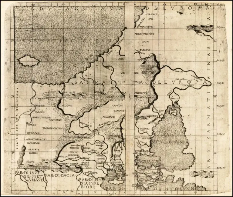
description
TABVLA OCTAVA DE EUROPA
Florence, 22.5 x 17.5 inches, printed with two woodblocks on one sheet, in two versions from his “Septe Giornate della Geographia di Francesco Berlinghieri” (The Seven Days of Geography).
Berlinghieri’s map is the third map of the region (pre-dated by 1477 and 1478 editions), but his map is
important because:
1. It is based on the projections of Marinus of Tyre, a second century AD Greek geographer/cartographer/mathematician, the founder of mathematical geography, a system which would have
been employed by Claudius Ptolemy.
2. It is the first printed map of the region to utilize a style notably different from the Nicholas Germanicus model and to adopt a different means for projecting the printed landmasses represented on the maps.
3. It was engraved by Niccolò Tedesco, a German printer.
4. It has rectangular borders rather than the trapezoidal borders employed in the earlier editions.


