description
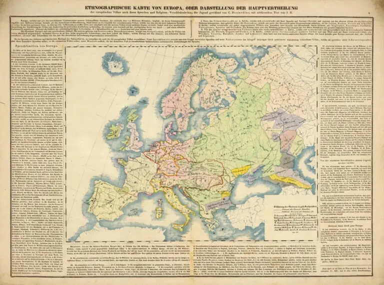
Ethnographische Karte von Europa, oder Darstellung der Haupt-vertheilung der europaischer Volker nach ihren Sprachen und Religions- Verschied- enheiten
(Ethnographic map of Europe, or representation of the primary distribution of European Peoples according to their languages and religious differences), Wien (Vienna), 62 x 50 cm, from
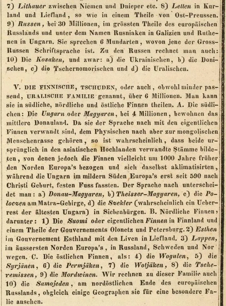
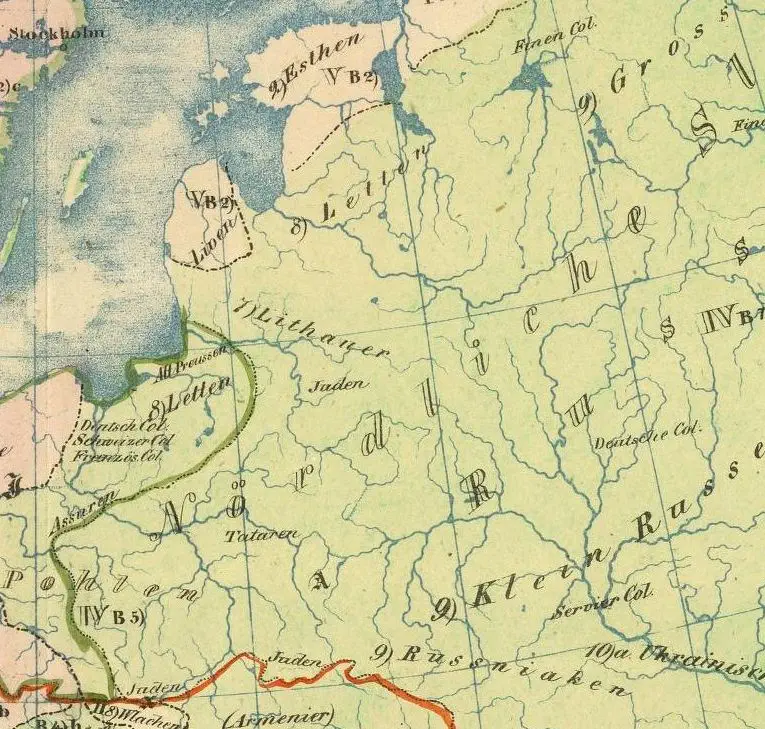
“Physisch- statistisch und politischer Atlas von Europa…” From the explanatory text, displayed as one of two DETAIL images: “IV. SLAVISCHE FAMILIE…7) Lithauer zwischen Niemen and Dnieper etc. 8) Letten in Kurland und Liefland, so wie in einem Theile von Ost-Preussen. (…as in a part of East Prussia)!..V. DIE FINNISCHE…FAMILIE…B 2) Esthen im Gouvernment Esthland mit den Liven in Liefland.”


