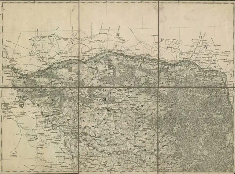
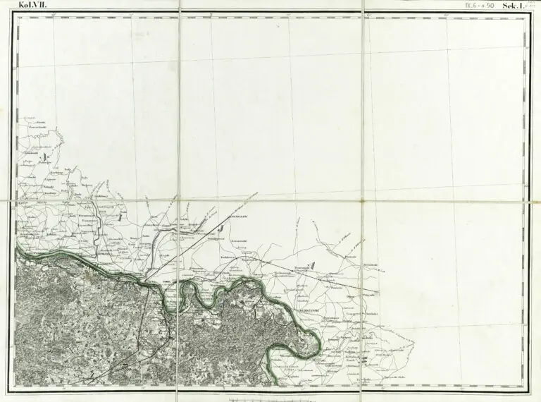
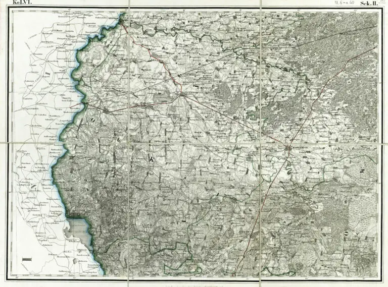
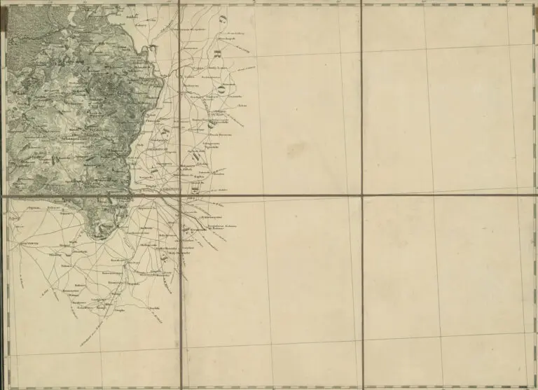
description
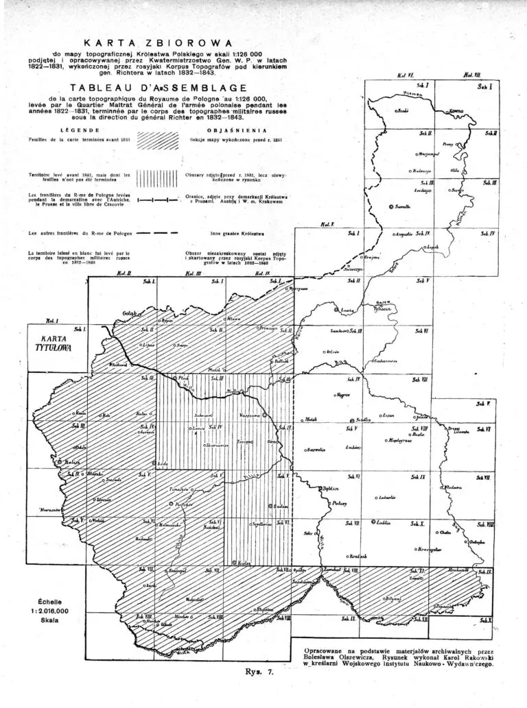
Karta Zbiorowa
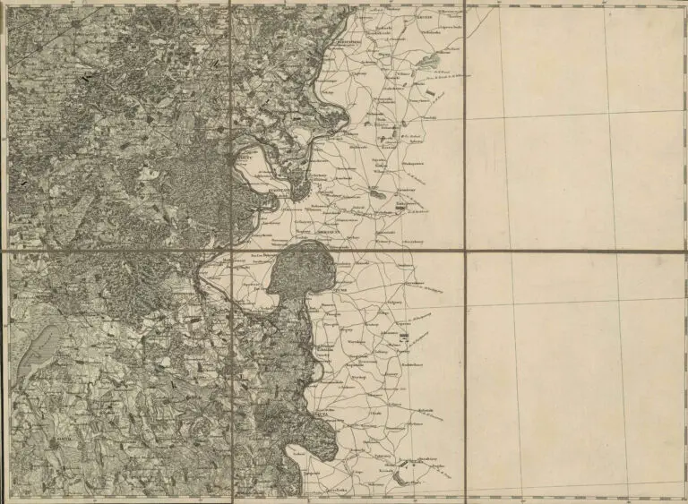
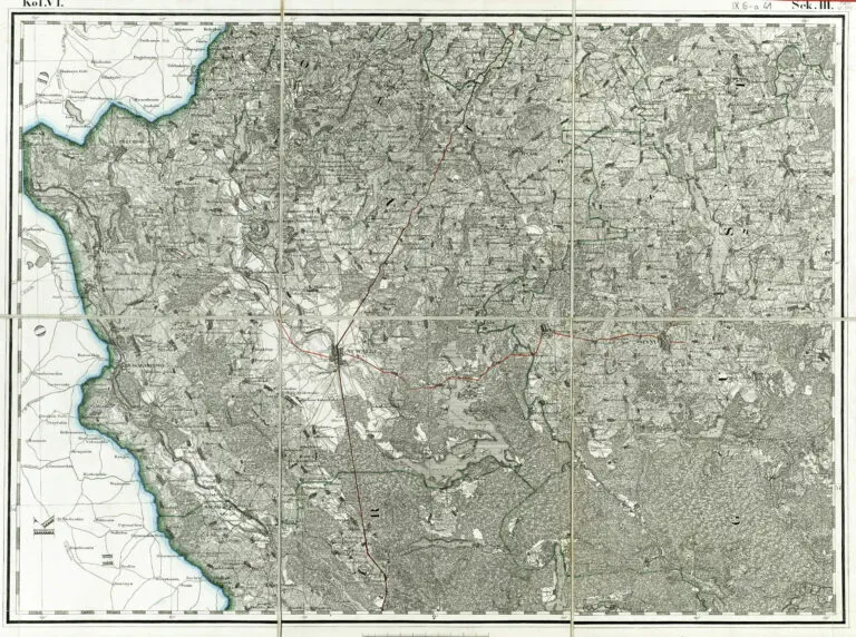
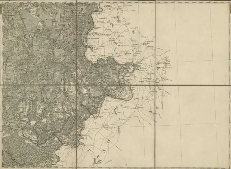
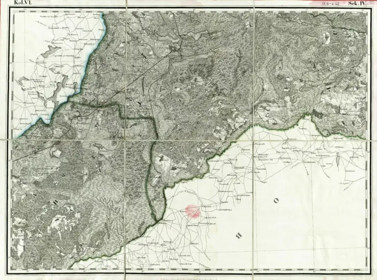
Do mapy topograficznej Królestwa Polskiego w skali 1:126 000 podjetej i opracowywanej przez
Kwatermistrzostwo Gen. W.P. w latach 1822 – 1831, wykonczonej przez rosyjski Korpus Topografow
pod kierunkiem gen. Richtera w latach 1832 – 1843. (“Index to the topographic map of the Polish
Kingdom in scale 1: 126,000 taken and developed by Quartermaster Gen. W.P. in the years 1822 – 1831,
completed by the Russian Topographic Corps under the direction of General Richter in the
years 1832 – 1843.
(Developed on the basis of archival materials by Bolesław Olszewicz [cartographic historian]. The
drawing was made by Karol Rakowski, graduate of the Military Institute of Science and Publishing.)

