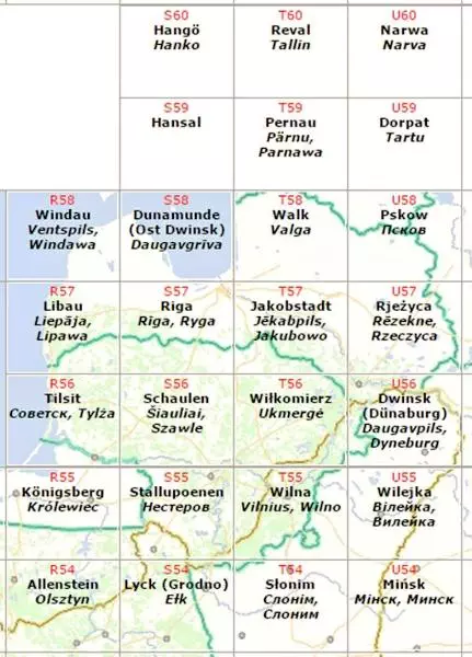
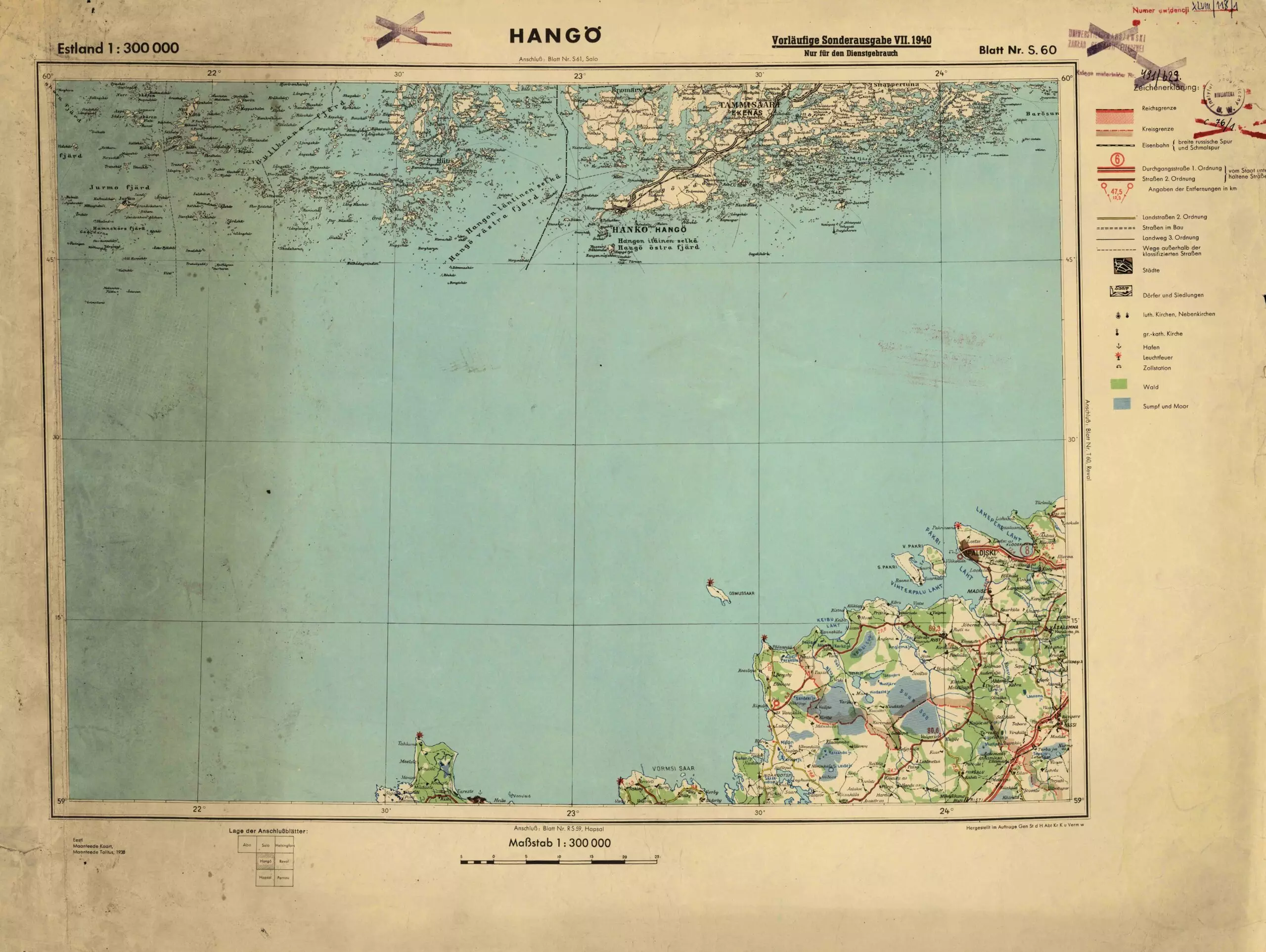
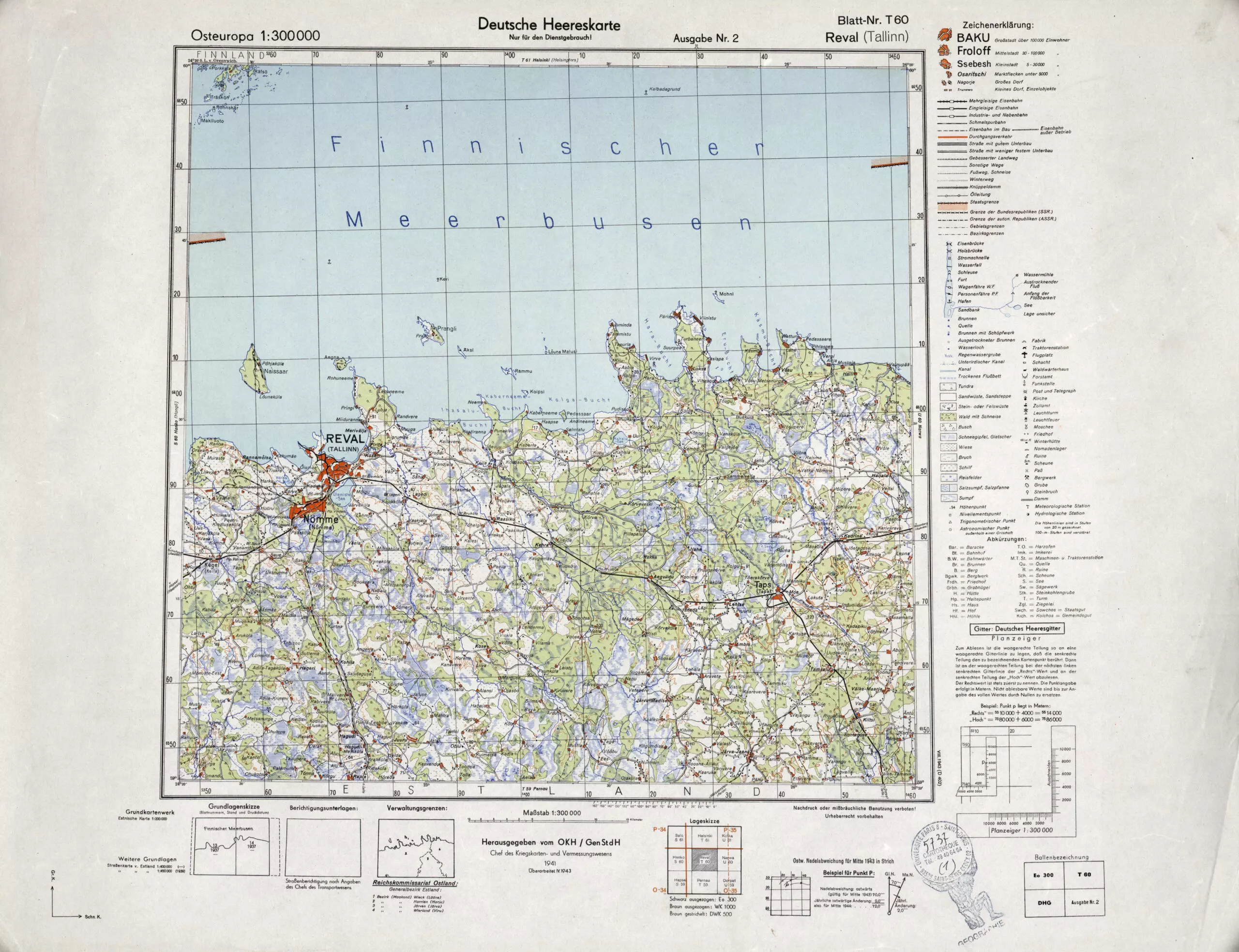
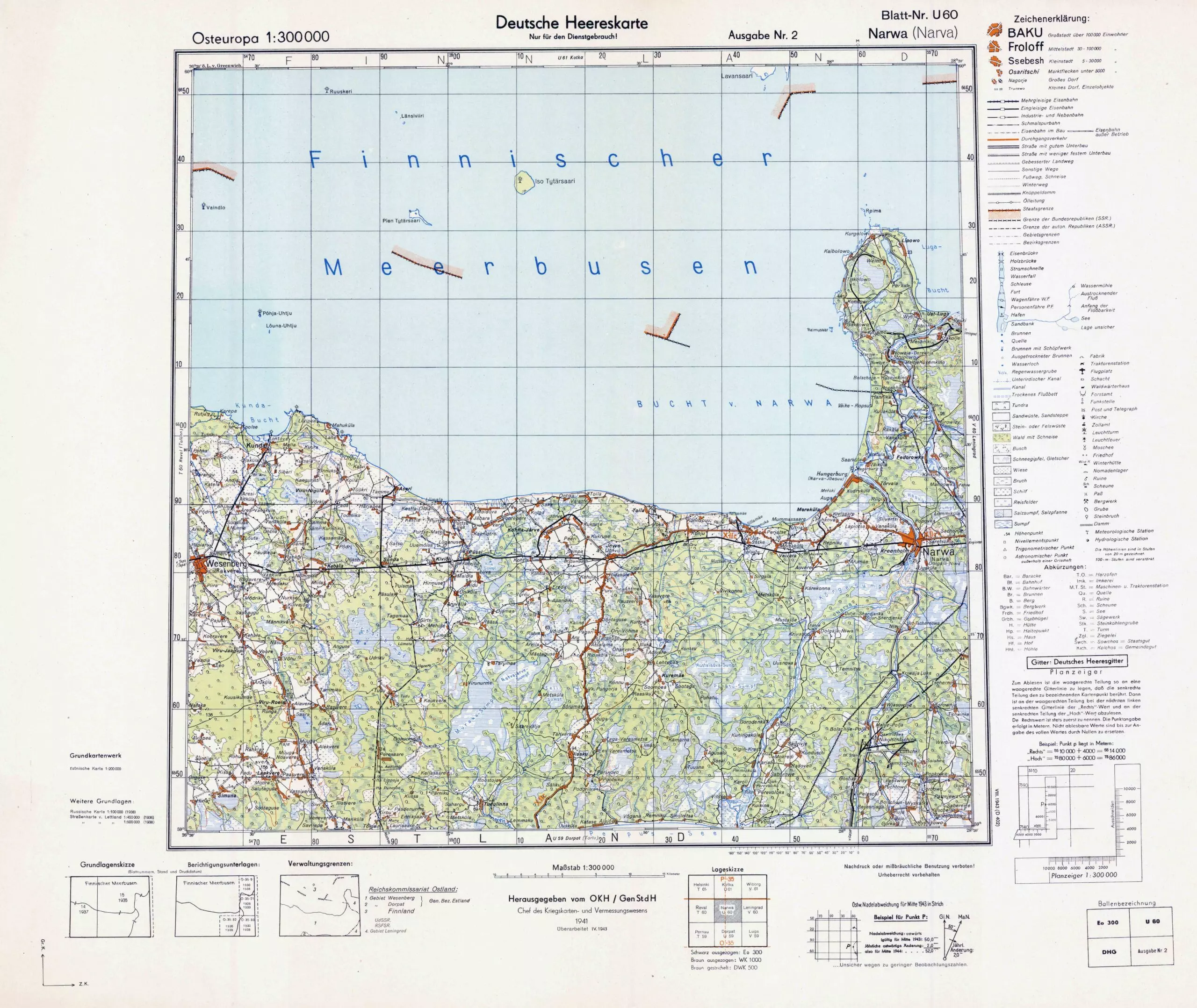
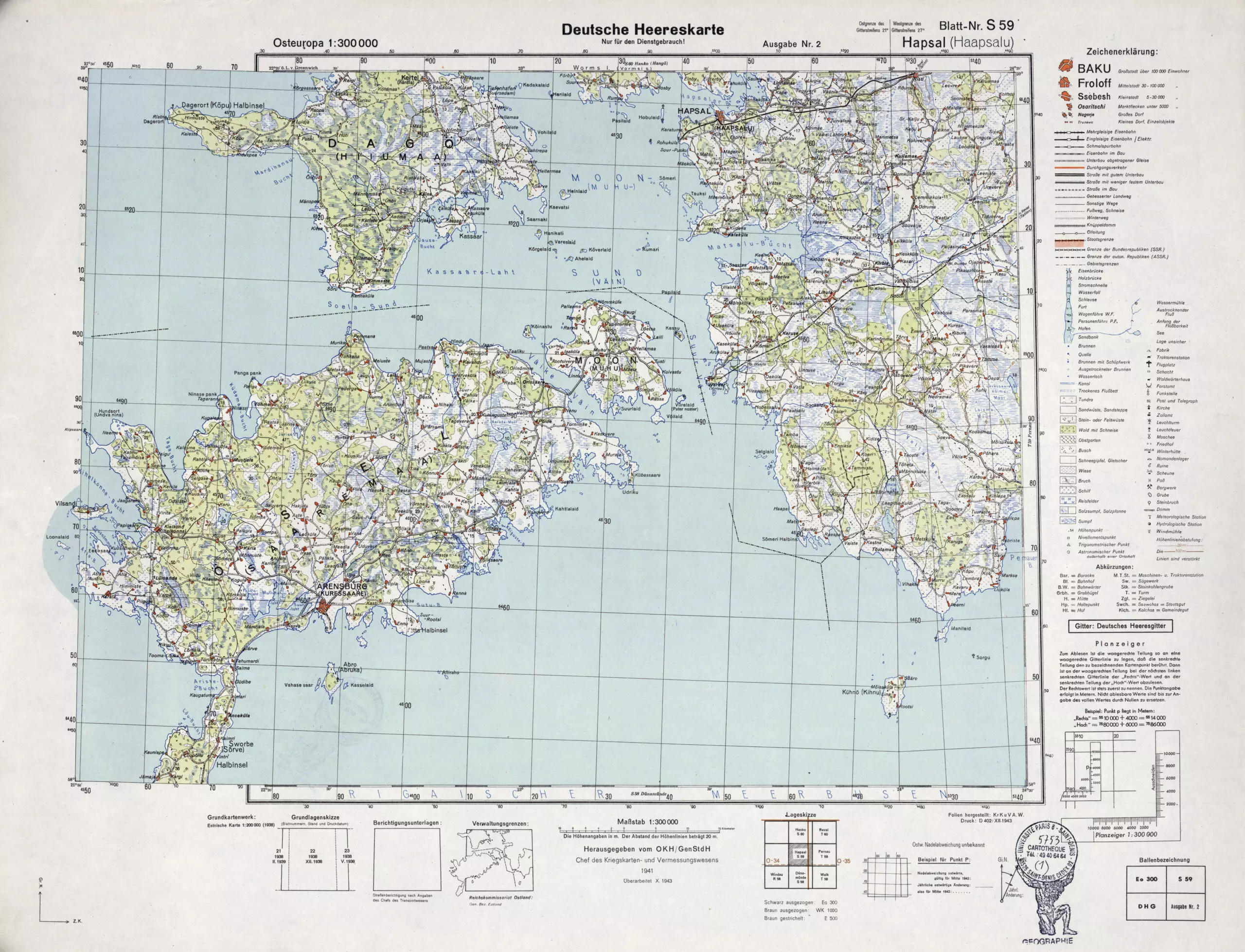
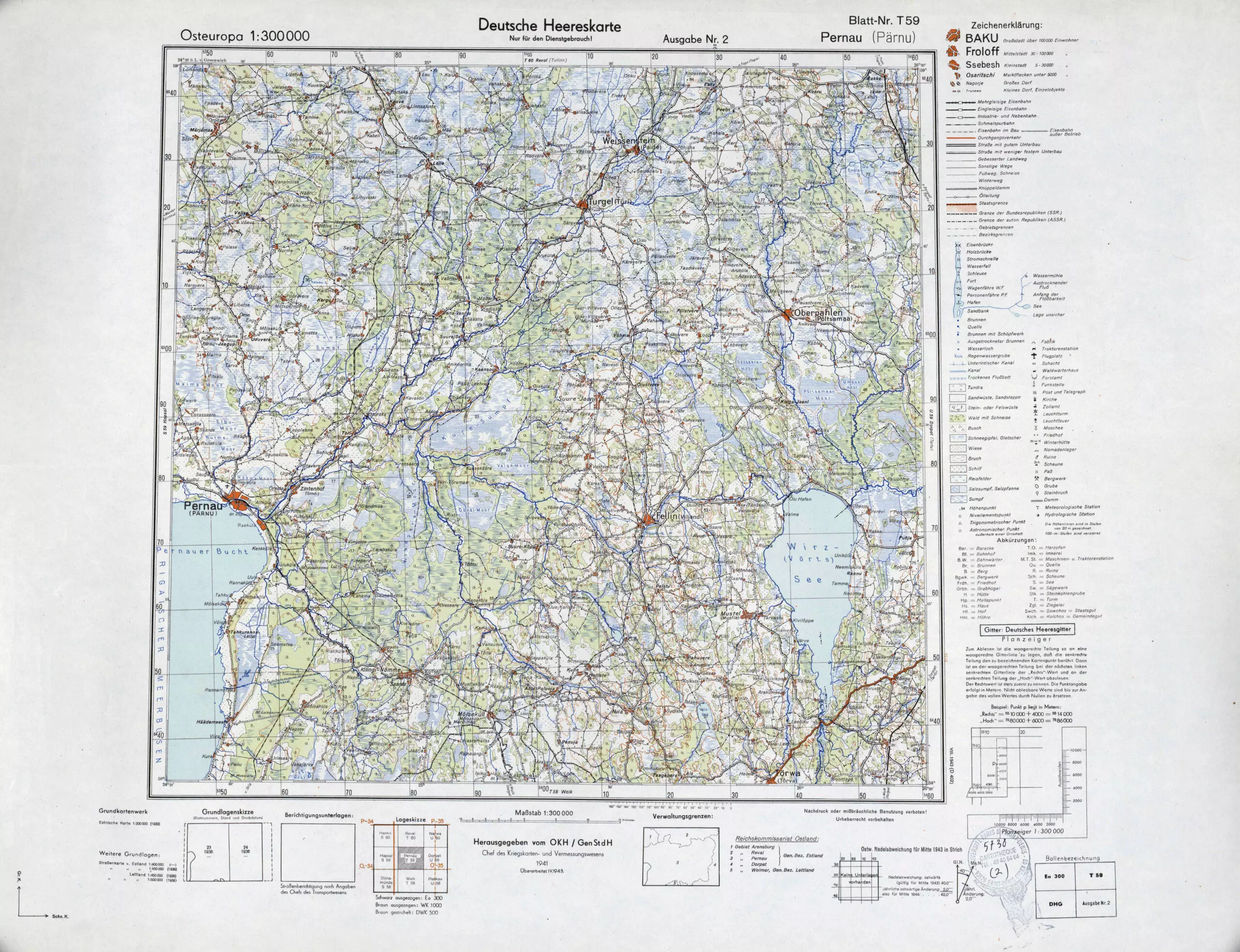
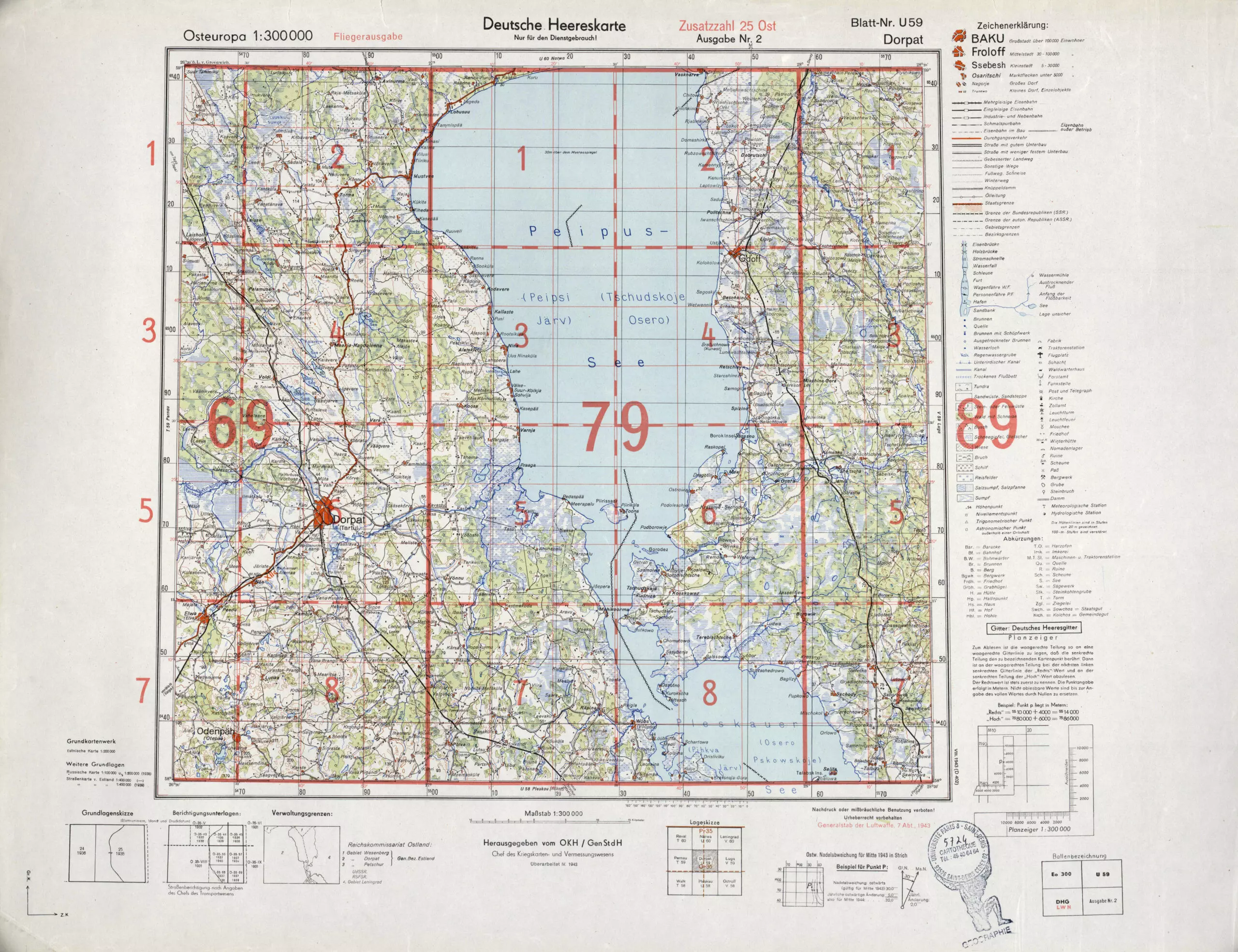
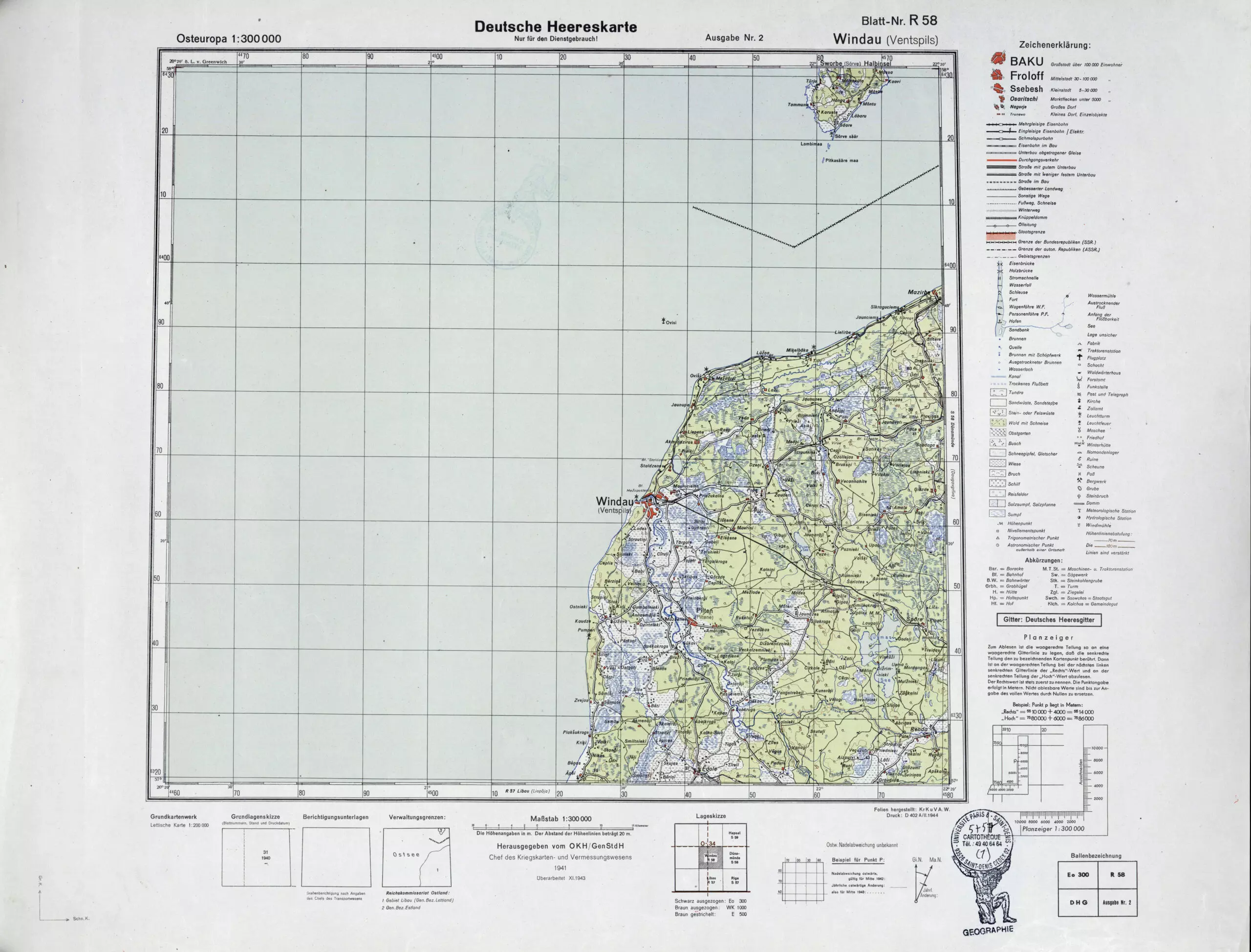
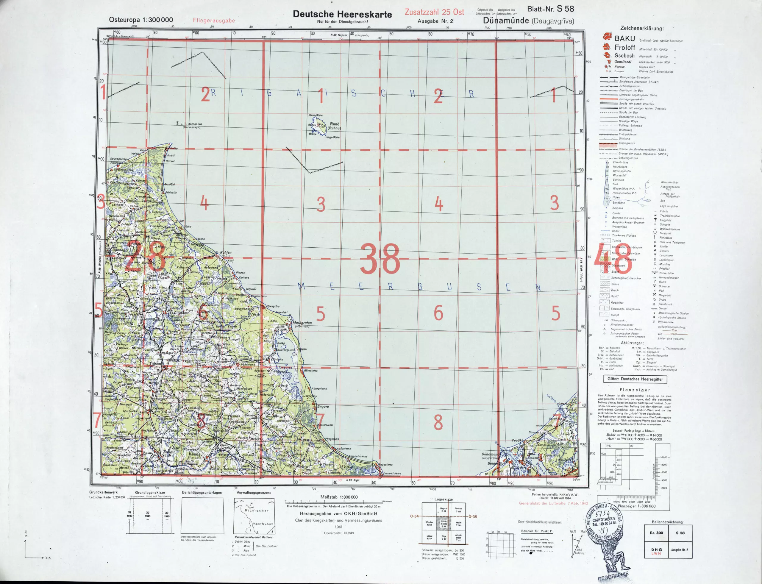
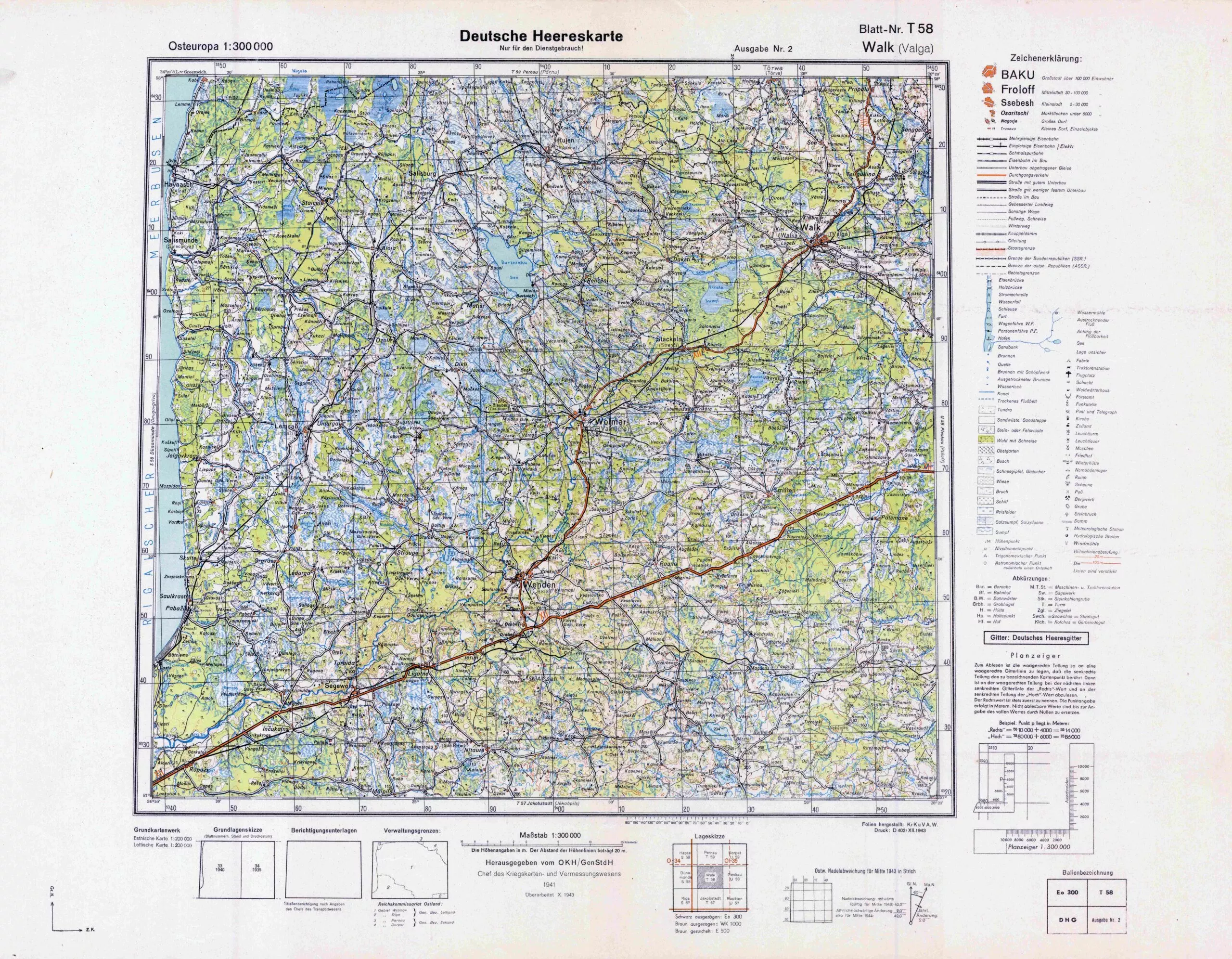
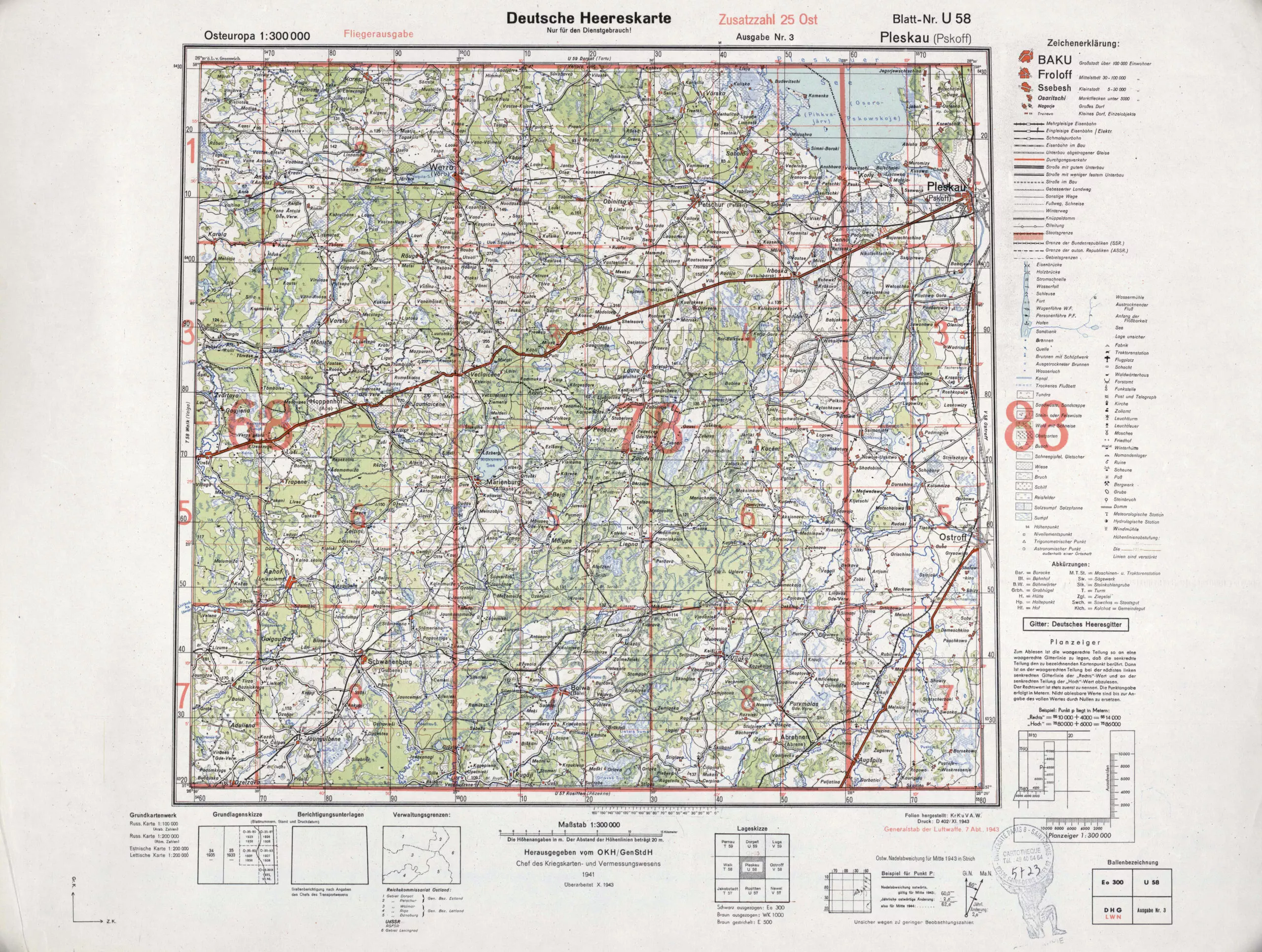
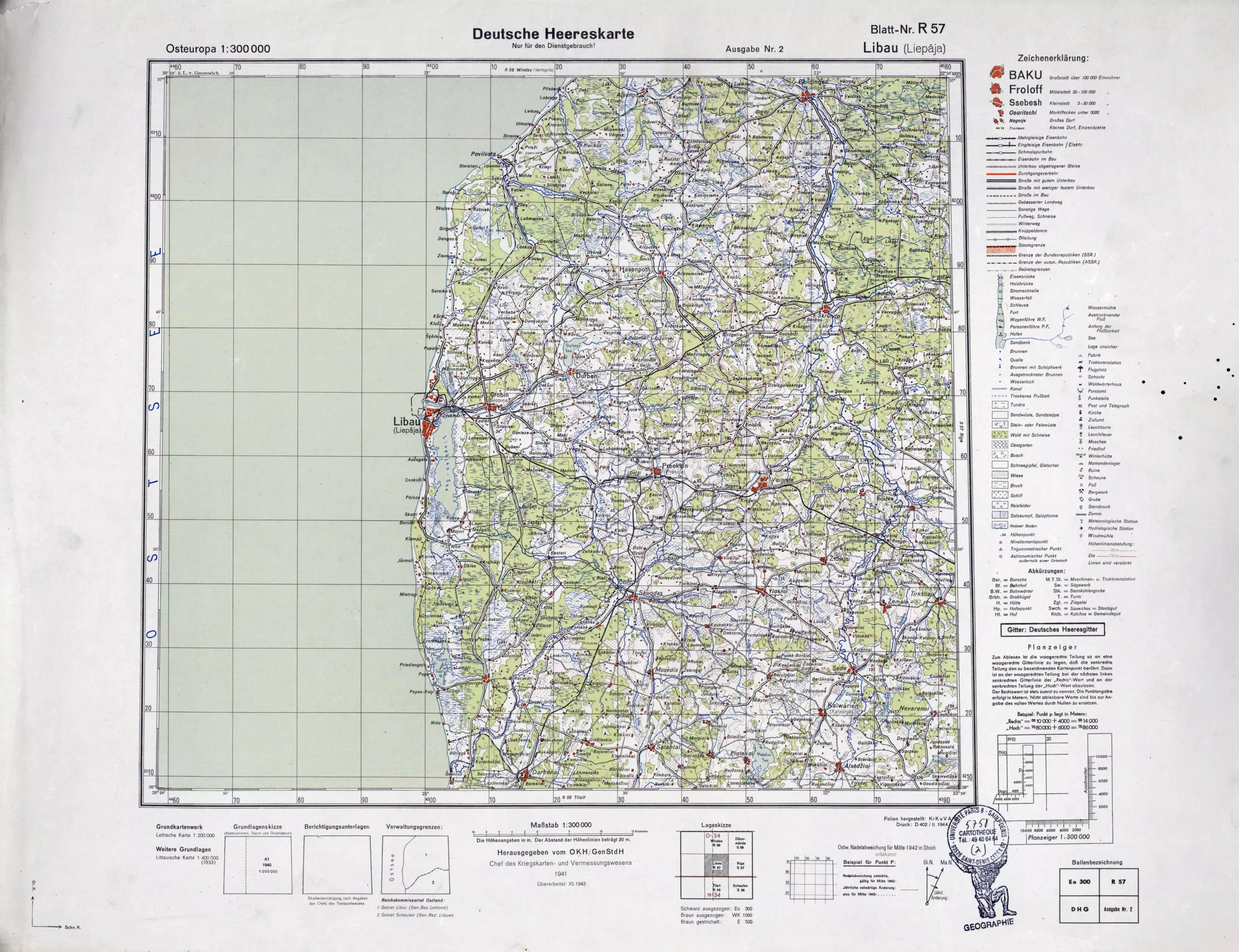
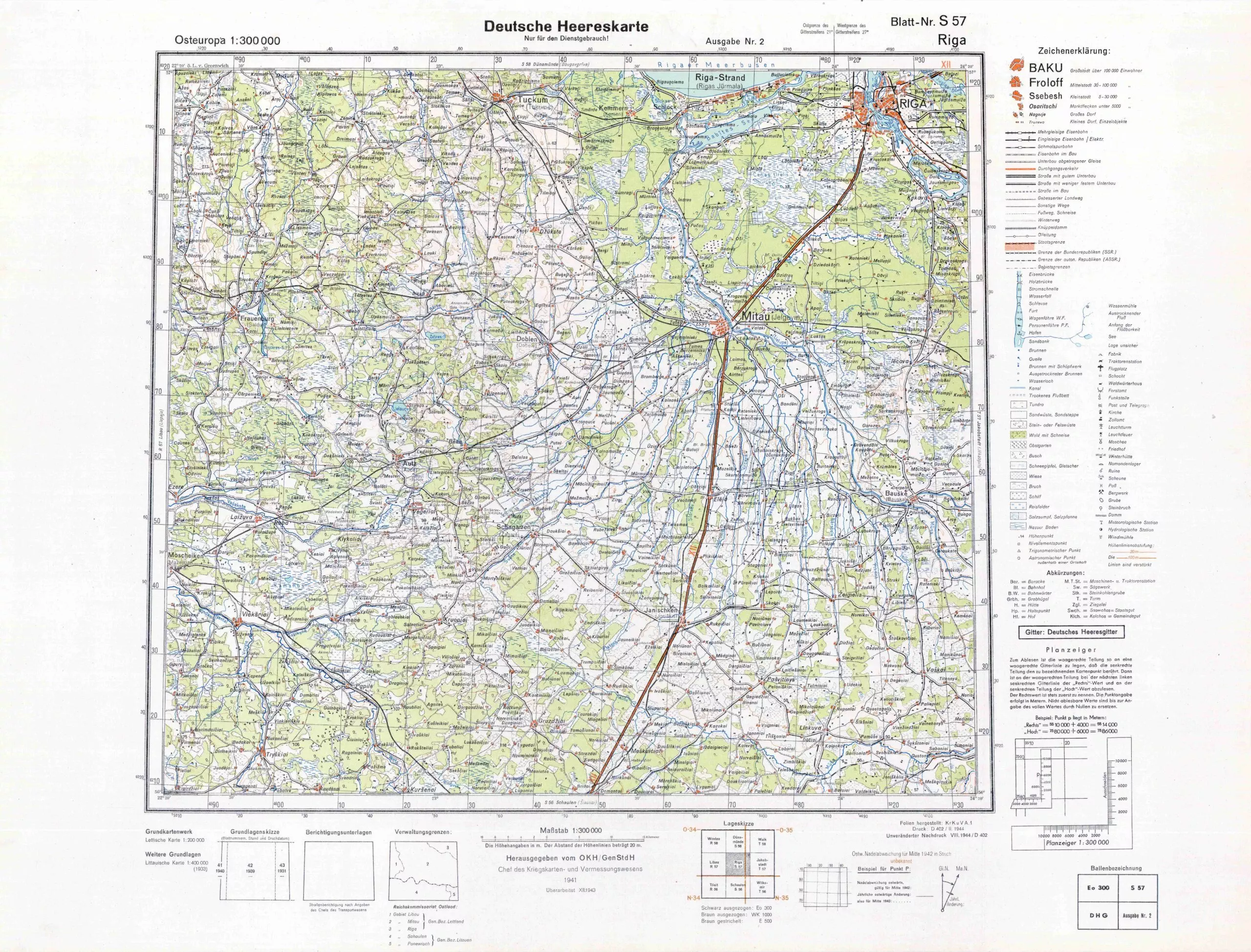
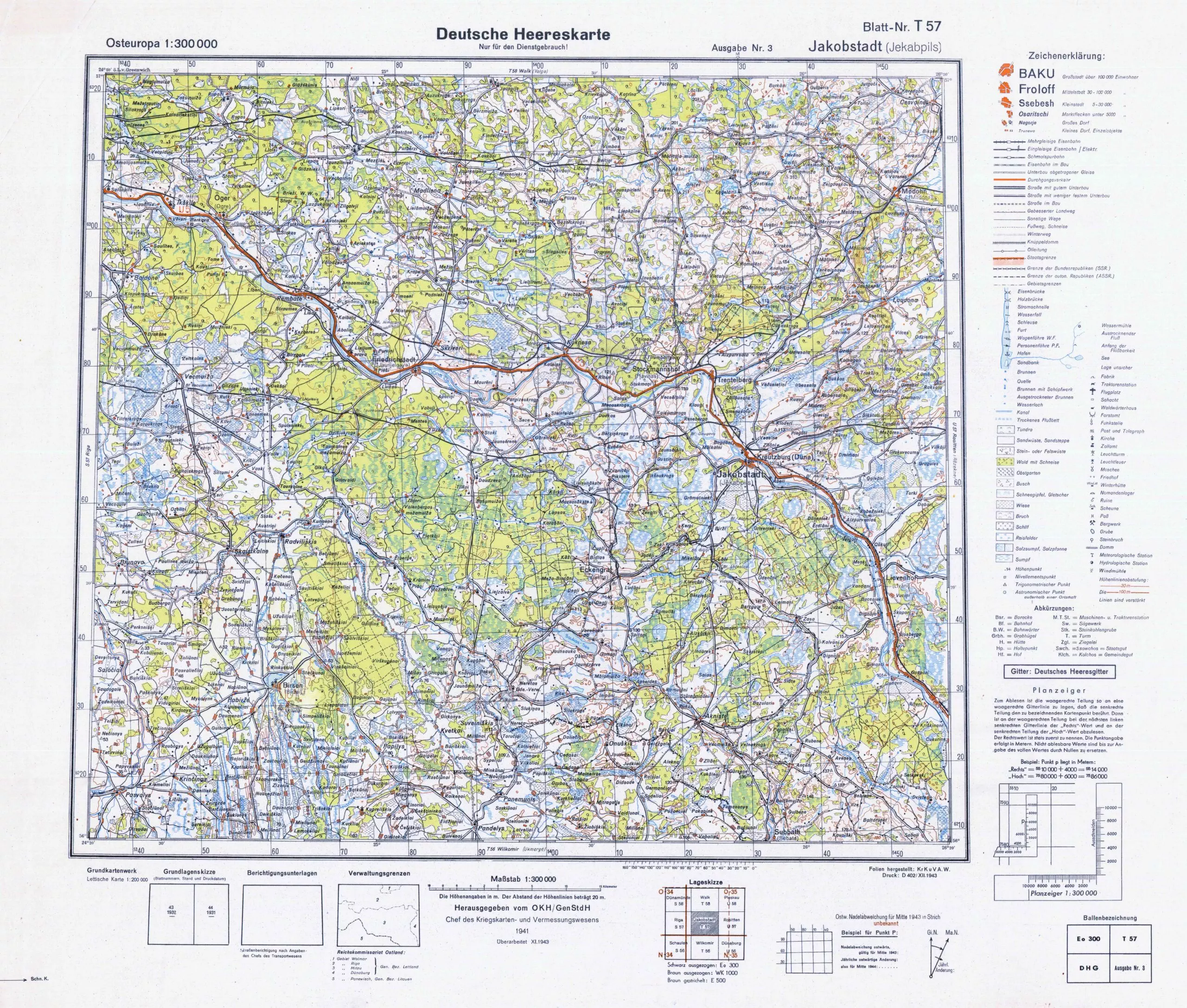
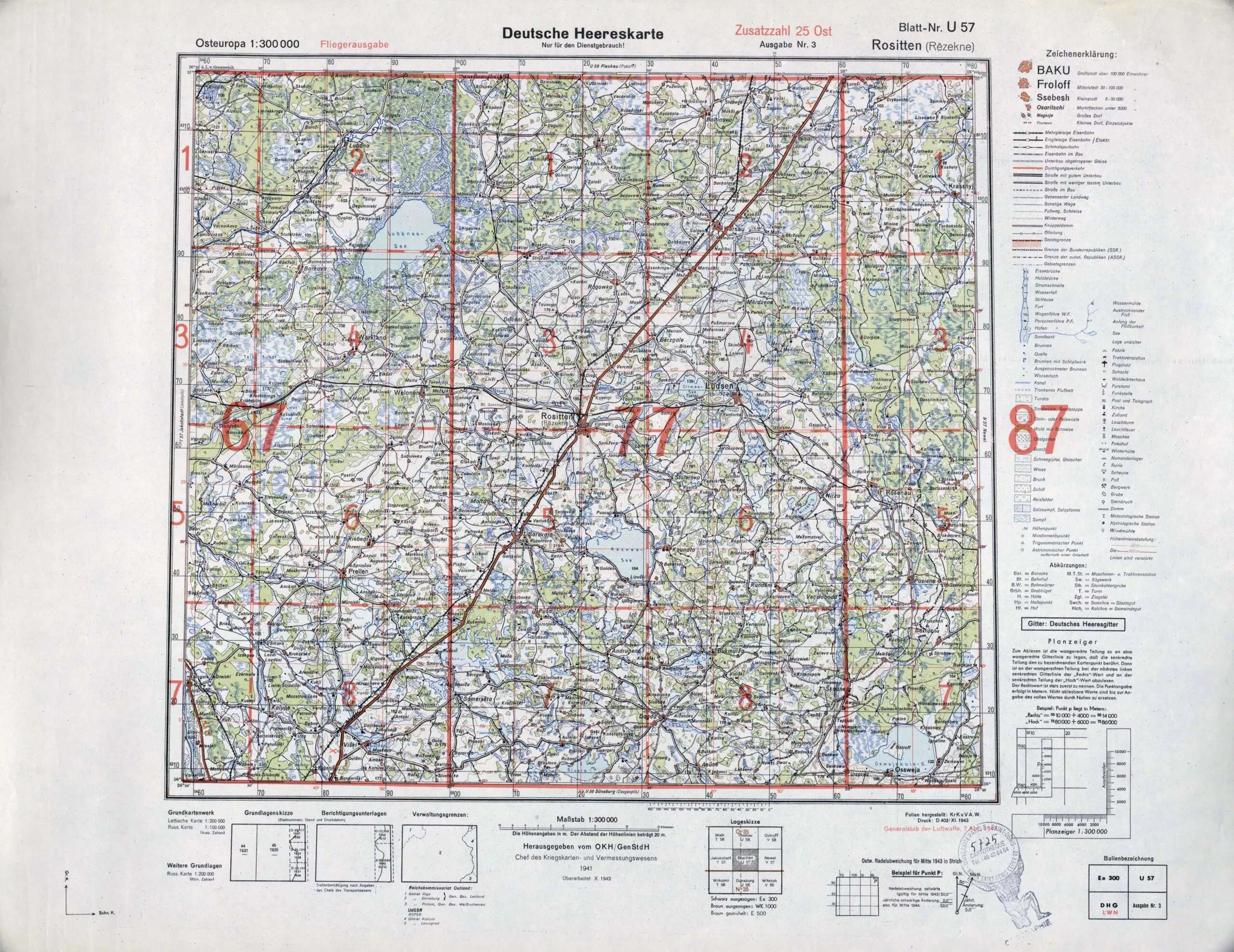
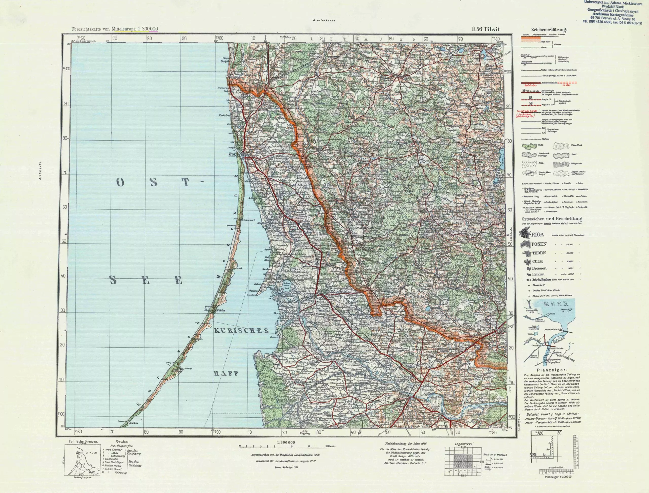
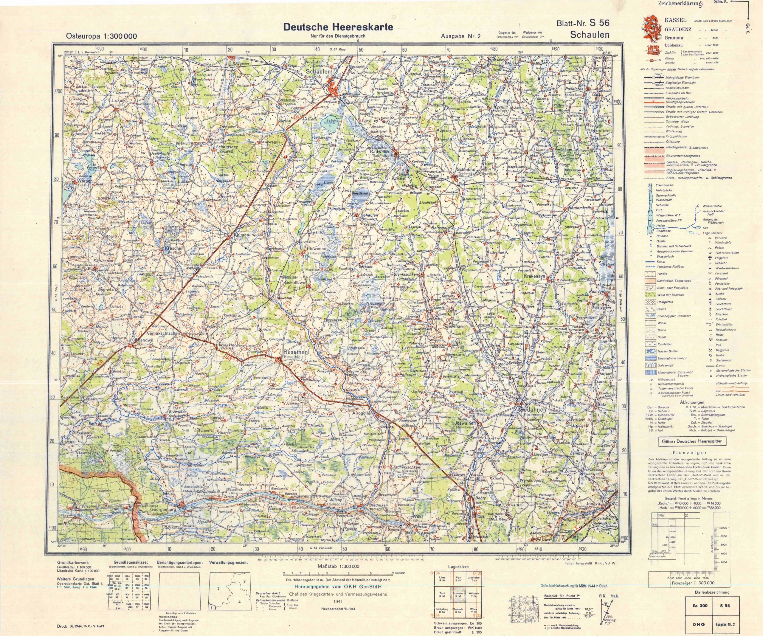
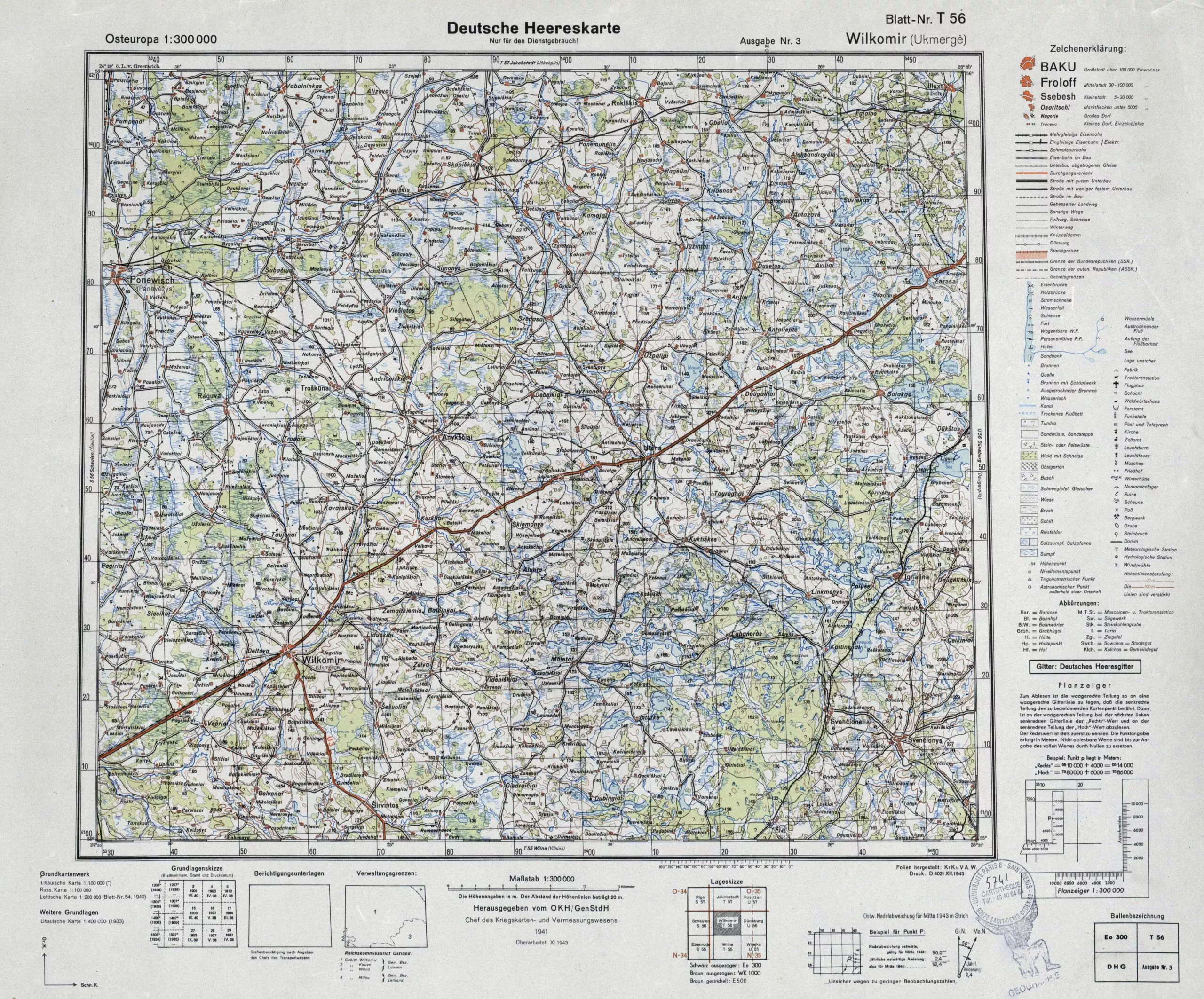
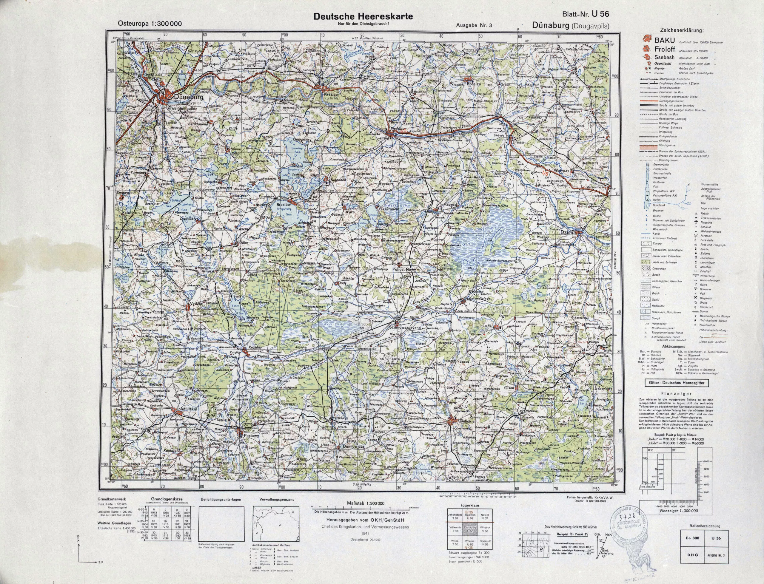
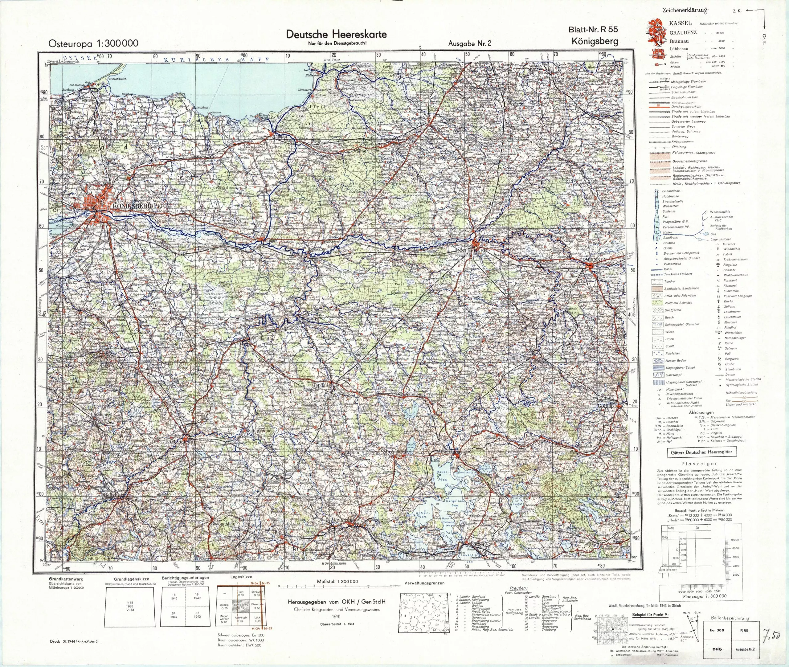
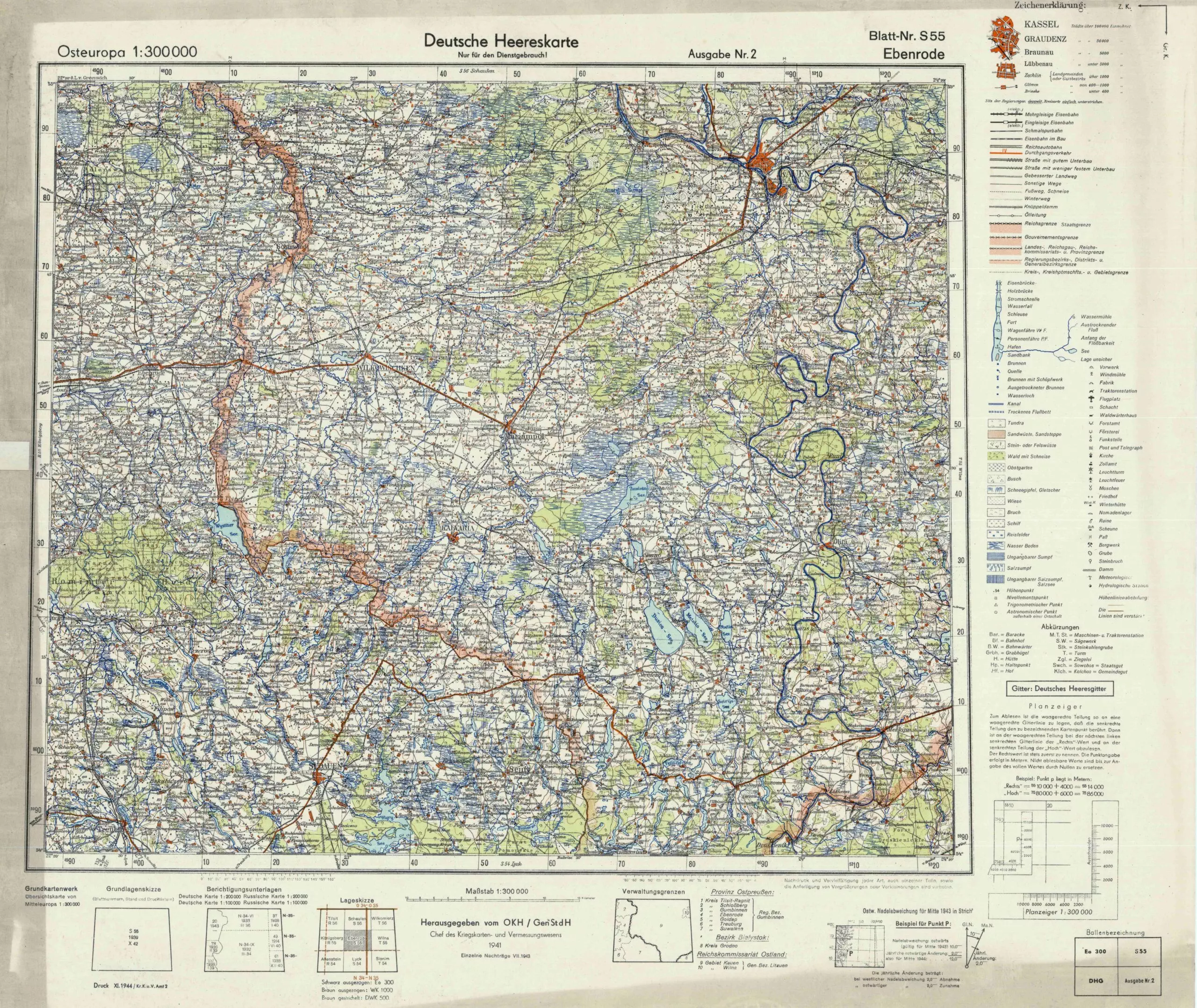
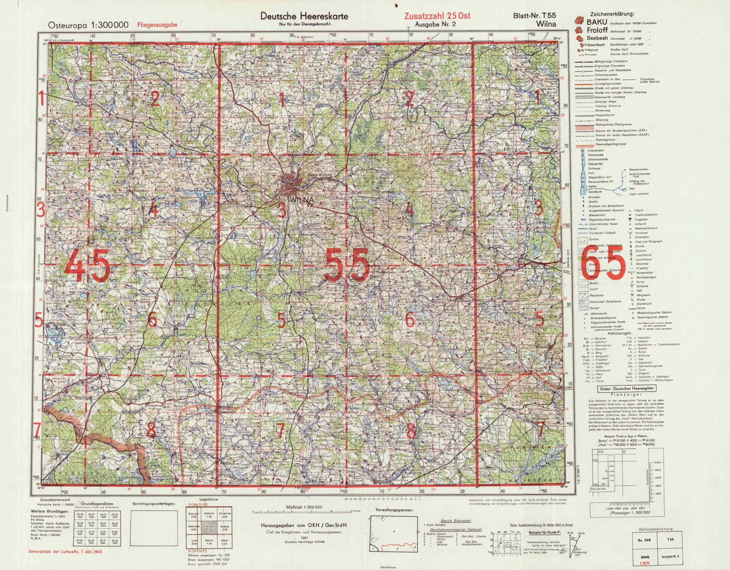
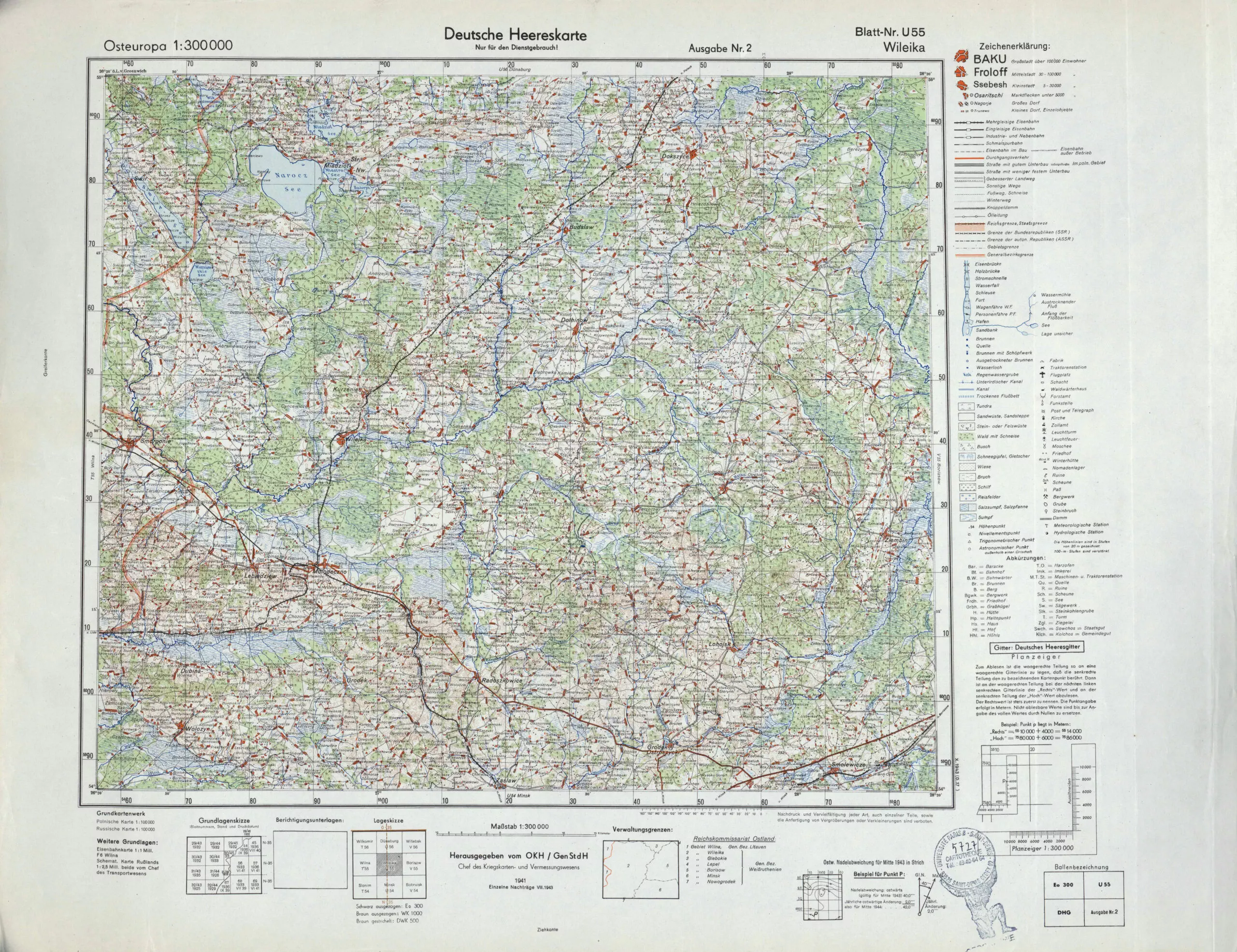
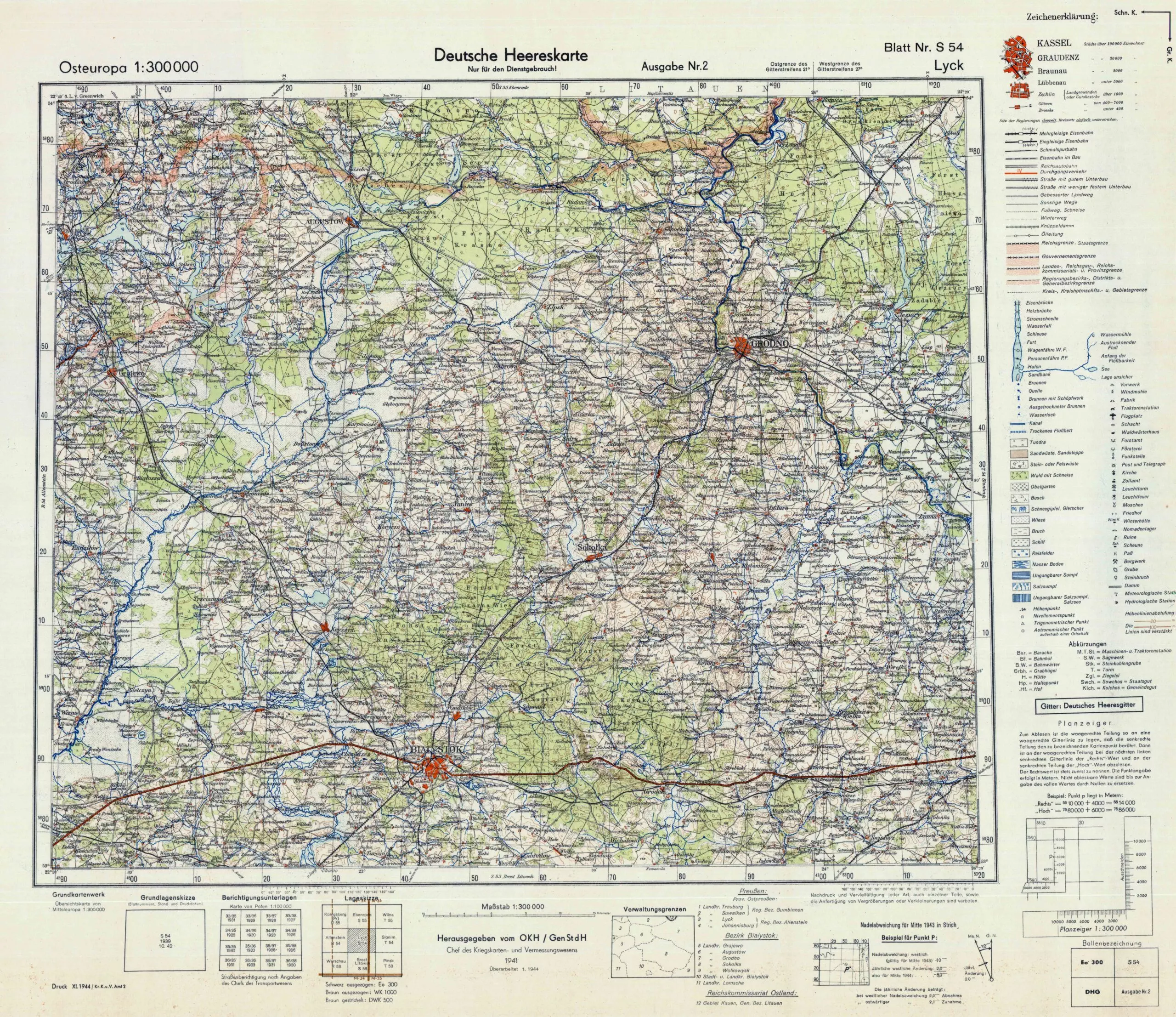
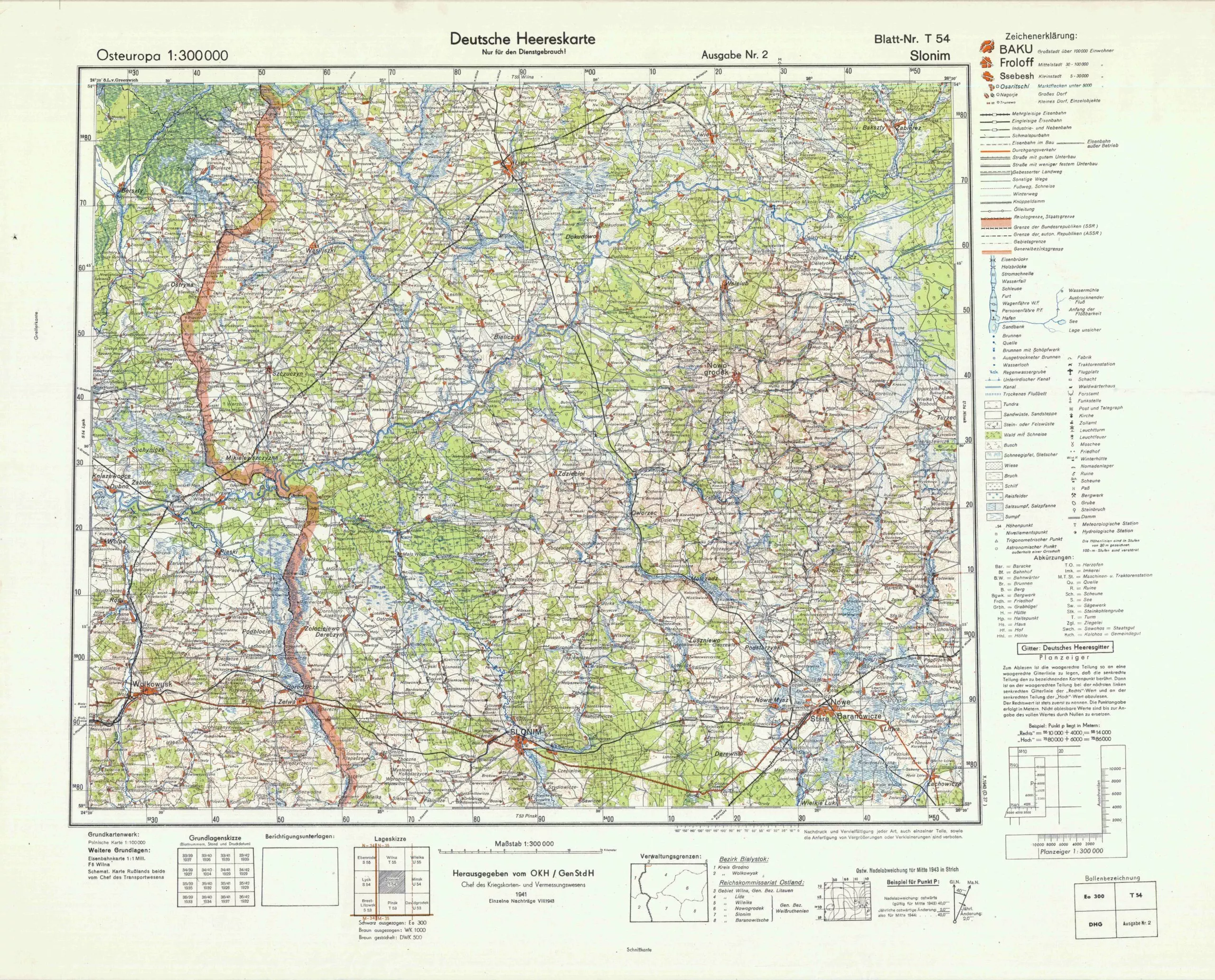
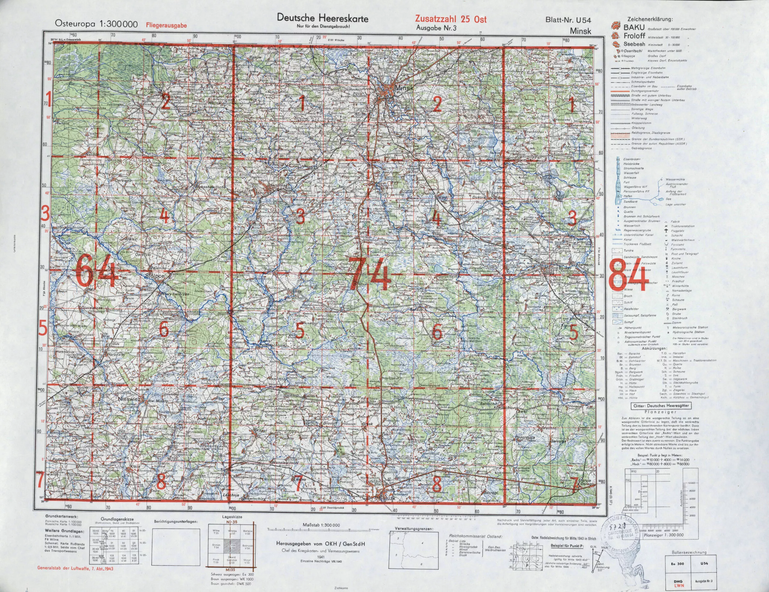
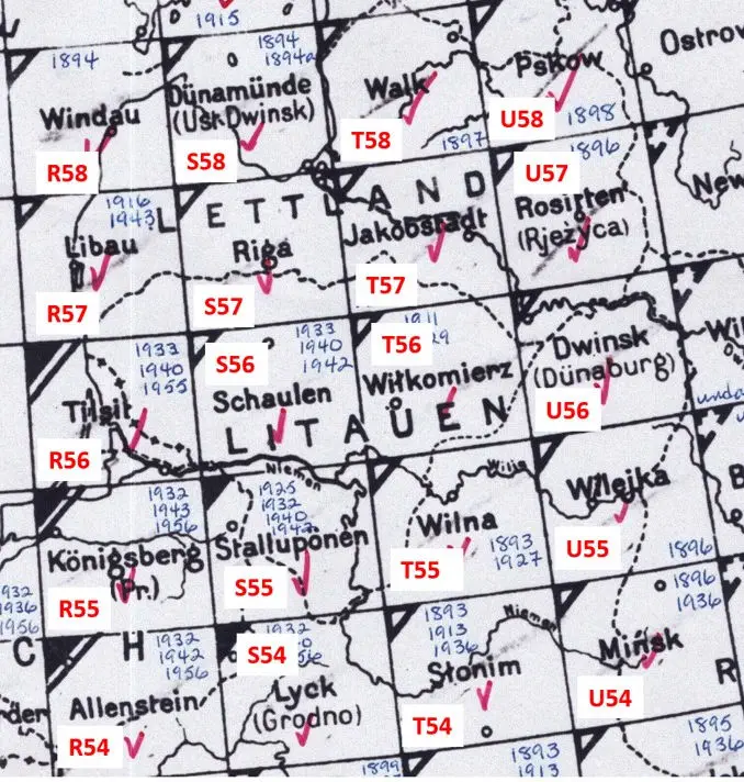
Maps were updates to turn-of-the-century Prussian maps: “Übersichts Karte von Mitteleuropa” at
1:300 000, produced in 1919 – 1945. Early sheets are straight reprints of the pre-WWI Königlich Preußischen Landesaufnahme editions. From the mid-1930s, Polish 1:300,000 maps were copied, and during WWII, captured Soviet maps in 1:100 000 and 1:200 000 scale were used to produce new editions of the German map. In 1942, a subset called “Osteuropa” was created, followed by “Mitteleuropa” and “Europa.” See the combined sheets at the bottom of this page.