description
Ostland-Atlas: Baltische Randstaaten
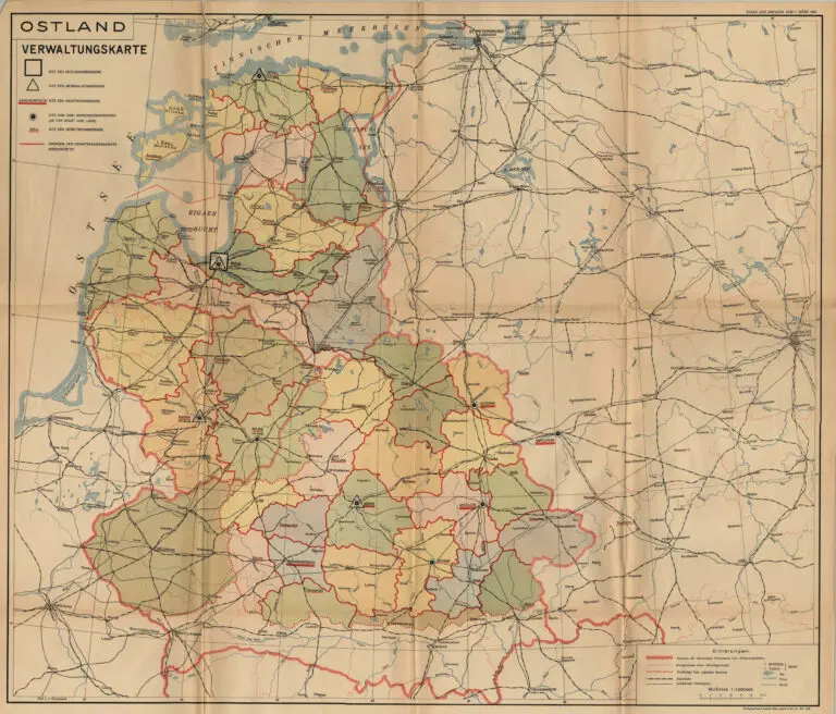
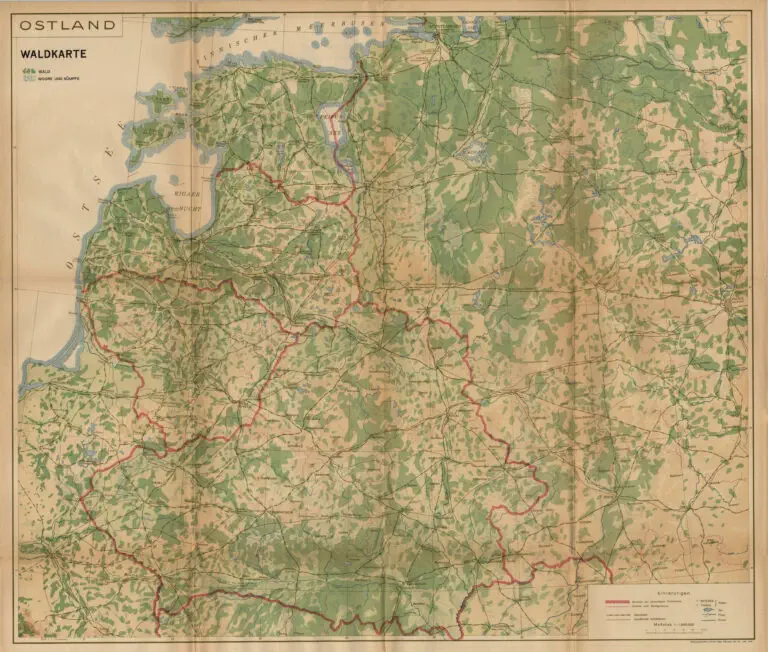
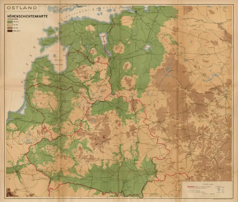
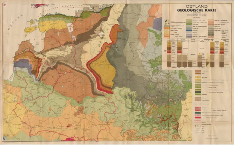
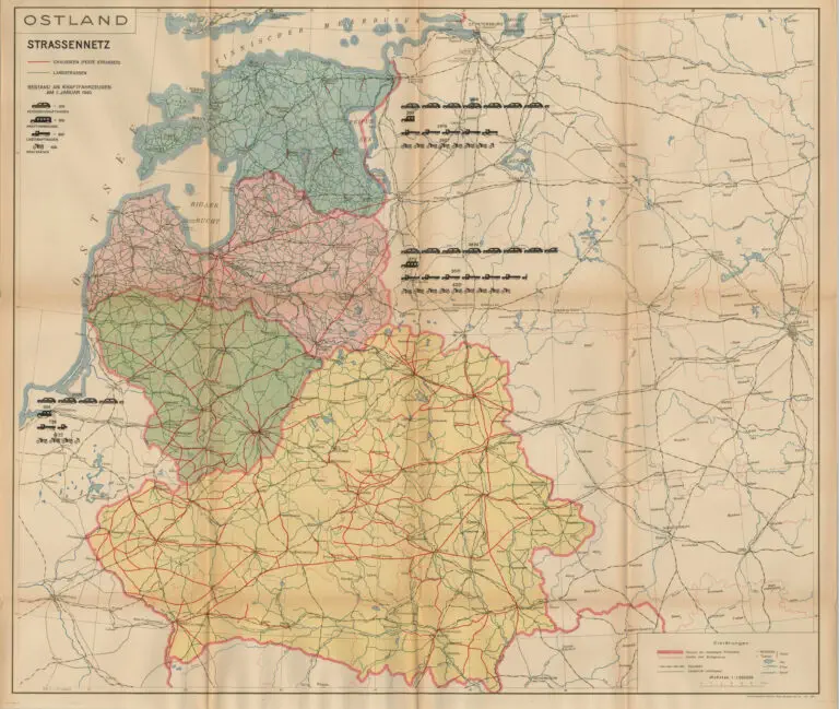
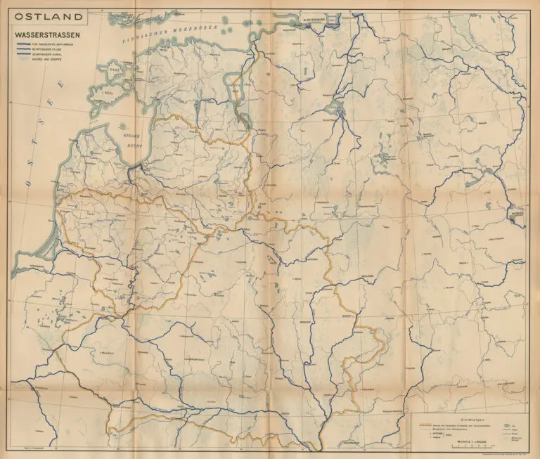
Published in Riga by Reichskommissar für das Ostland. One of two reports that make up the “Strukturbericht über das Ostland” (Structural Report on the Ostland), the other being “Ostland in Zahlen” (Ostland in Numbers). This report was created by the Nazi Reich Commissioner for the Eastern Territories and used in the civil administration of the occupied Eastern Territories: Estonia, Latvia, Lithuania, Belarussia and part of Poland. The 52 color maps show the occupied administrative territories, its climate and vegetation, population demographics, agricultural status, industry, energy and economic features, traffic and roads, foreign trade in 1938, and the history of the area to 1943. Some representative maps are shown below. Maps by Ethnicity and religion are on the “Maps Ethnographic” page.
Year
1942
Author
Jekab Jureviz
Gottfried Müller
Hermann Warren
Sources
Ball State University’s Digital Library, at www.bsu.edu



![Tab[ula] mod[erna] Tartarie, (www.sothebys.com)](https://lietuvoskartografi4c16a.zapwp.com/q:i/r:0/wp:1/w:1/u:https://lietuvoskartografija.lt/lithuanianmaps/wp-content/uploads/2021/11/1524_c_fries_tab_mod_tartarie_sothebys-1024x733.jpg)