description
Maps of Poland
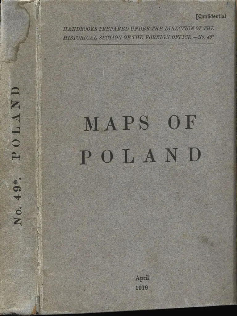
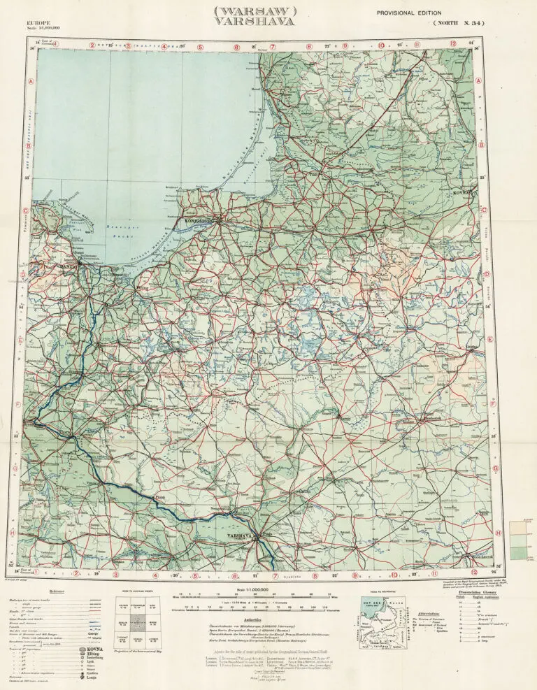
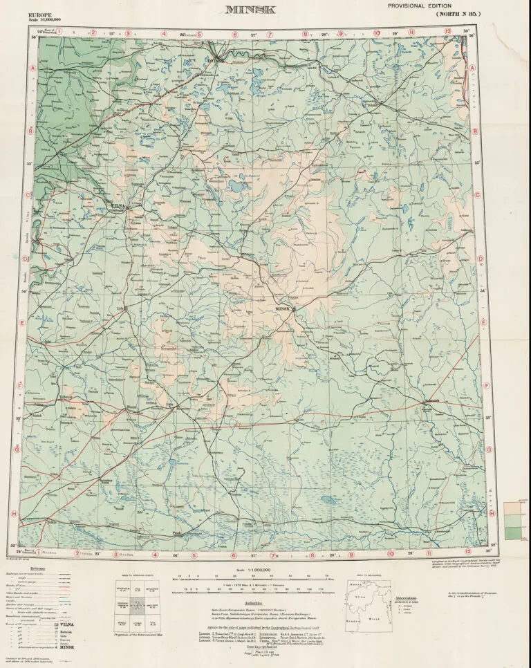
Created 1915, published after the Paris Peace Conference of 1919: Compiled at the Royal Geographical Society under the direction of the Geographical Section, General Staff, drawn and printed by the Ordnance Survey. In preparation for the peace conference that was expected to follow World War I, in the spring of 1917 the British Foreign Office established a special section responsible for preparing background information for use by British delegates to the conference. “Maps of Poland,” in which the above two maps appeared, is Number 49 in a series of studies produced by the section. The book contains eight foldout maps, six from the General Map of Europe: regions around six major cities in or near what would become the newly independent Polish Republic: Berlin, Warsaw, Minsk, Vienna, Krakau (Krakow), and Jitomir (Zhytomyr, Ukraine). Also included: “Ethnographical Map of Central and South Eastern Europe,” “Partitions of Poland,” both on this site.


![Tab[ula] mod[erna] Tartarie, (www.sothebys.com)](https://lietuvoskartografi4c16a.zapwp.com/q:i/r:0/wp:1/w:1/u:https://lietuvoskartografija.lt/lithuanianmaps/wp-content/uploads/2021/11/1524_c_fries_tab_mod_tartarie_sothebys-1024x733.jpg)