description
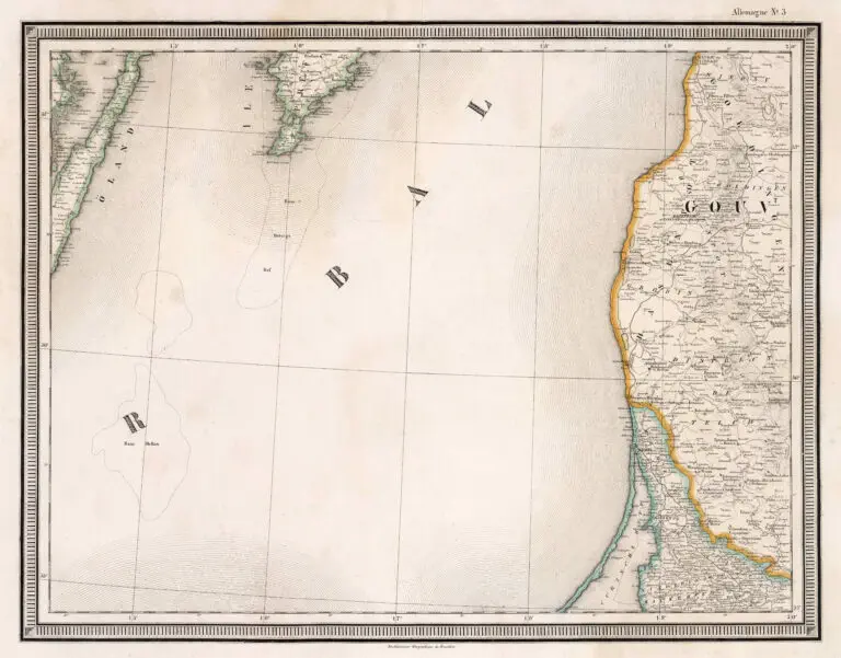
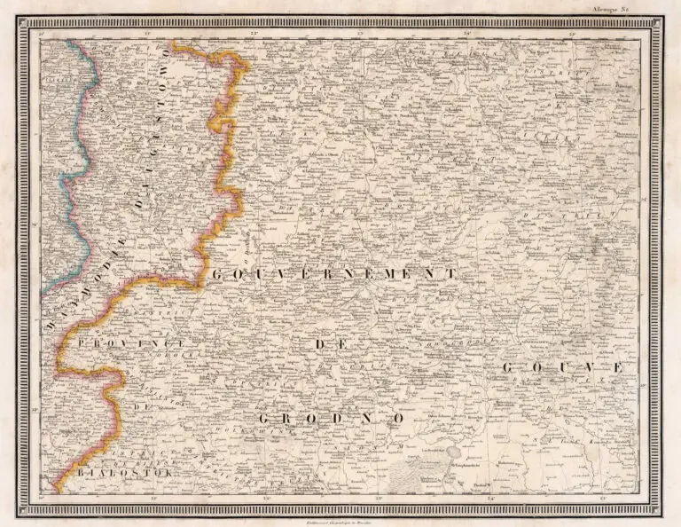
Carte de l'Allemagne
Philippe Vandermaelen’s (cartographer/publisher) Etablissement geographique de Bruxelles published “Carte de l’Allemagne” (Atlas of Germany) in Brussels. The atlas has 20 lithographed maps with hand-colored outlines. Map No. 3 depicts the Memel and the Baltic coast as far north as “Windau ou Vindaou,” today’s Ventspils, Latvia. No. 8 depicts “Waywodie d’ Augustowo” and lands east including “Vilna ou Wilno” and Minsk. The maps show roads, railroads and administrative divisions, the foot-print of principal cities, villages, parishes, postal roads, railways, landmarks, canals, fortifications, forests, lakes, rivers and mountains. Ocean depths are shown by bathymetric contours and soundings.


![Tab[ula] mod[erna] Tartarie, (www.sothebys.com)](https://lietuvoskartografi4c16a.zapwp.com/q:i/r:0/wp:1/w:1/u:https://lietuvoskartografija.lt/lithuanianmaps/wp-content/uploads/2021/11/1524_c_fries_tab_mod_tartarie_sothebys-1024x733.jpg)