description
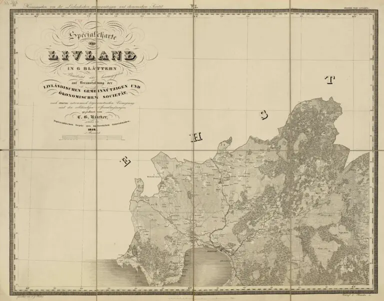
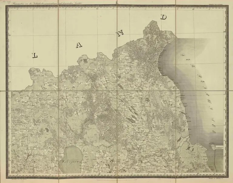
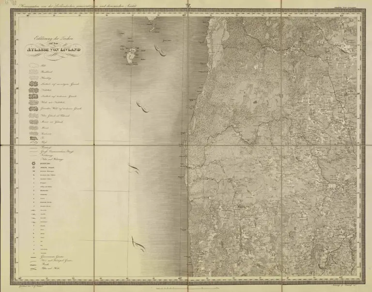
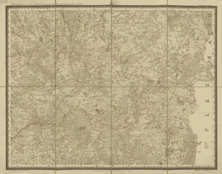
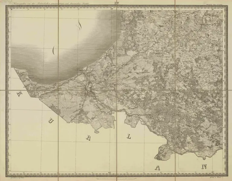
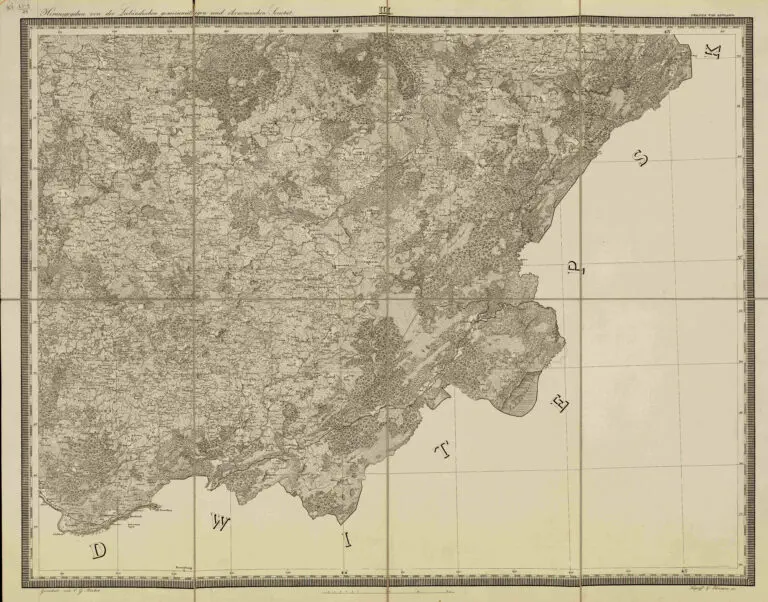
Specialcharte von Livland in 6 Blättern: Bearbeitet und herausgegeben auf Veran stal- tung der Livländischen Gemeinnützigen und Ökon- omischen Societät nach Struves astronomisch- trigonom- etrischen Vermessung und den vollstandingen Specialmessungen gezeichnet von C. G. Rücker; gestochen im Topographischen Depot des Kaiserlichen Generalstabes
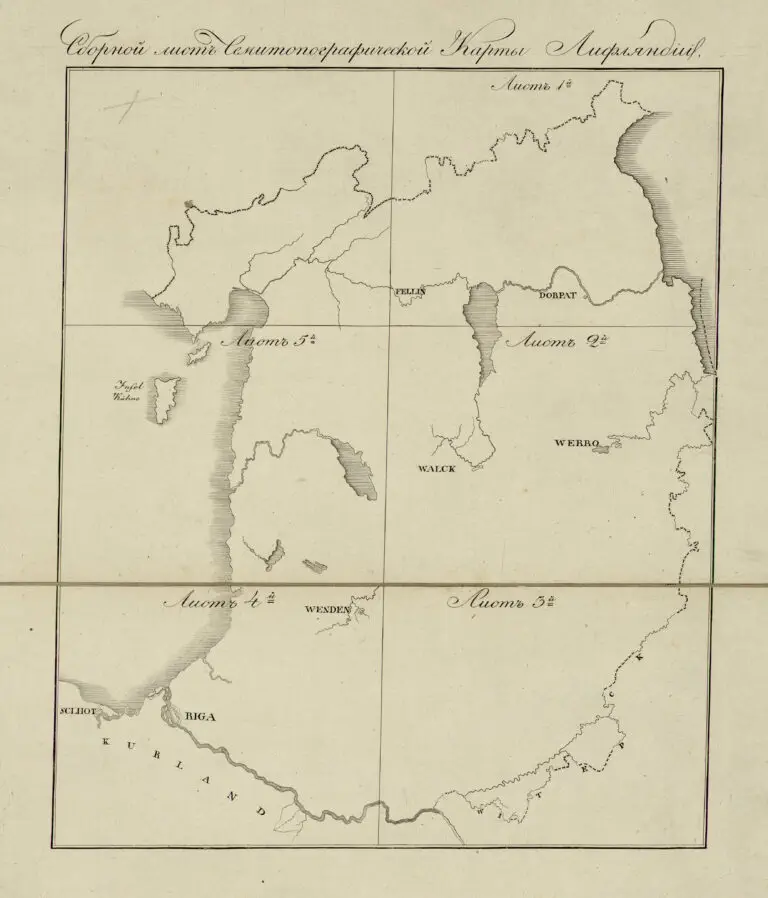
(Special map of Livland in 6 sheets: Edited and published thanks to the Livonian Nonprofit and Economic Society after Struve’s astronomical- trigo- nometric survey and the complete special measurements drawn by C. G. Rücker; engraved in the topographical depot of the Imperial General Staff), printed in St. Petersburg, published in Dorpat. At the time it was the most accurate map of the area, with nearly 4,600 place names. Rücker began compiling a new Livonian atlas based on astronomical- trigonometric survey conducted by German-born astronomer Struve, who published, in 1831, “Beschreibung der Breitengradmessung in den Ostseeprovinzen Russlands” (Description of Latitude Measurement in the Baltic Sea Provinces of Russia). Rücker’s first map, on this page: “General-Charte von Livland,” 1836; his last: “General-Karte der Russischen Ost-See-Provinzen Liv- Ehst- und Kurland,” 1846.
Year
1839
Author
Carl Gottlieb Rücker (Estonian cartographer/ publisher)
Wilhelm Struve (German-born astronomer / geodetic surveyor)
Sources
Latvian National Library: http://dom.lndb.lv



![Tab[ula] mod[erna] Tartarie, (www.sothebys.com)](https://lietuvoskartografi4c16a.zapwp.com/q:i/r:0/wp:1/w:1/u:https://lietuvoskartografija.lt/lithuanianmaps/wp-content/uploads/2021/11/1524_c_fries_tab_mod_tartarie_sothebys-1024x733.jpg)