description
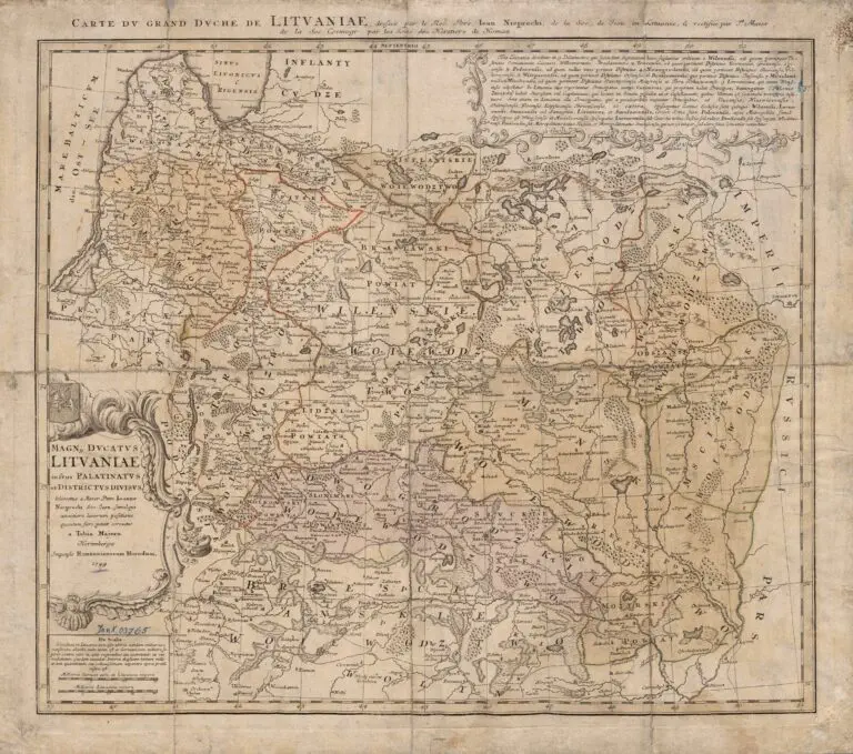
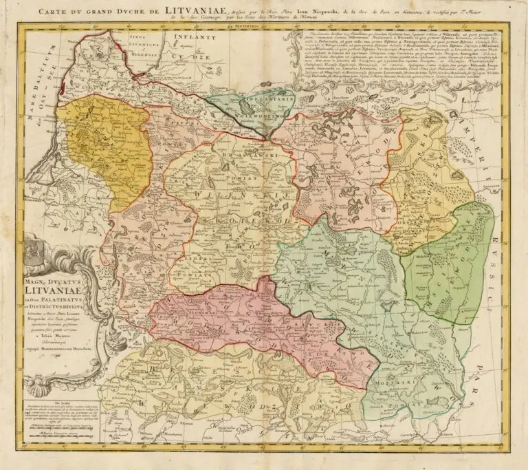
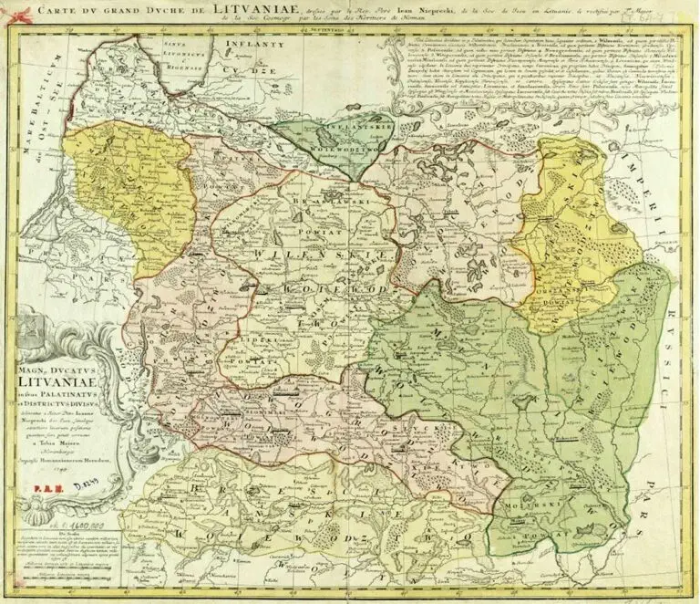
MAGN. DVCATVS LITVANIÆ in svos palatinatvs et districtvs divisvs / delineatus a... Ioanne Nieprecki...Simulque exactiore locorum positione quantum fieri potuit correctus a Tobia Majero. - Norimbergae : impensis Homannianorum Heredum, 1749
1749 [dated] Johann Homann – Jean Niepreckis – Tobias Mayer: “MAGN. DVCATVS LITVANIÆ in svos palatinatvs et districtvs divisvs / delineatus a… Ioanne Nieprecki…Simulque exactiore locorum positione quantum fieri potuit correctus a Tobia Majero. – Norimbergae : impensis Homannianorum Heredum, 1749.” Nürnberg, in X versions. At top right on the map is an inset with text describing the
region. This is the first state of the plate, which does not have Mayer’s “privilege” in the cartouche: C.P.S.C.M.G. “Cum Privilegio Sacræ Cæsaræ Majestatis Gratia.”
Year
1749
Sources
Wroblewski Library of the Lithuanian Academy of
Sciences: elibrary.mab.lt/


![Tab[ula] mod[erna] Tartarie, (www.sothebys.com)](https://lietuvoskartografi4c16a.zapwp.com/q:i/r:0/wp:1/w:1/u:https://lietuvoskartografija.lt/lithuanianmaps/wp-content/uploads/2021/11/1524_c_fries_tab_mod_tartarie_sothebys-1024x733.jpg)