description
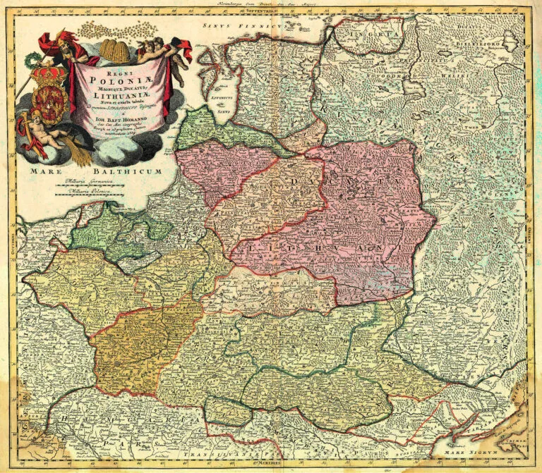
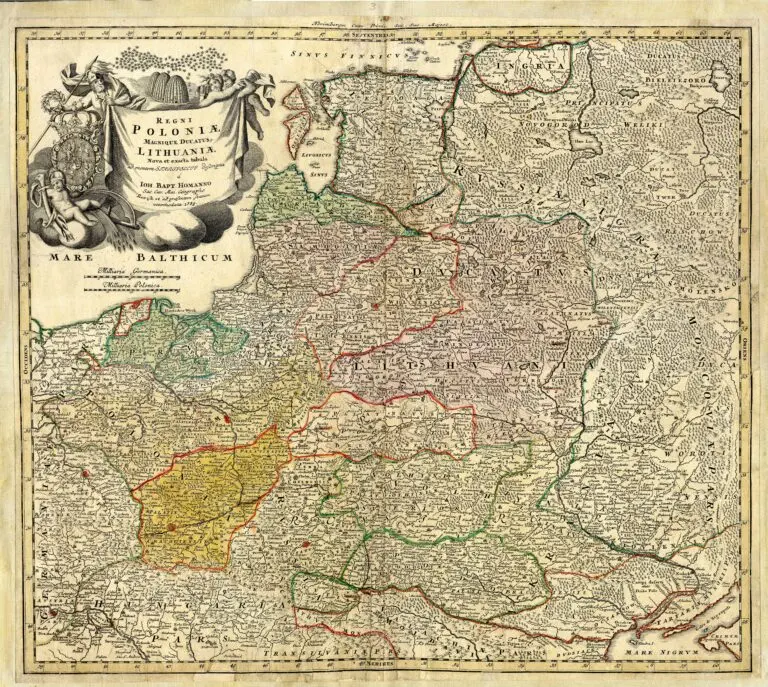
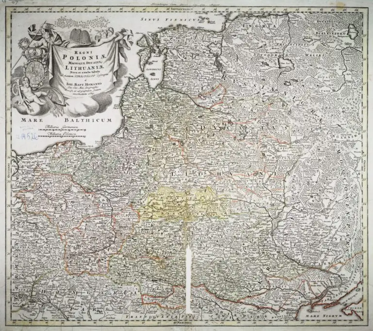
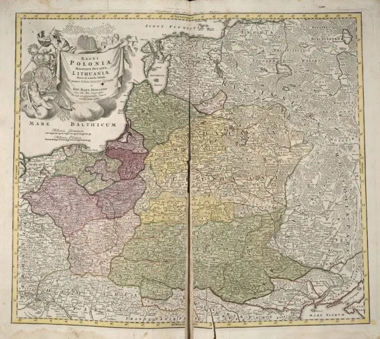
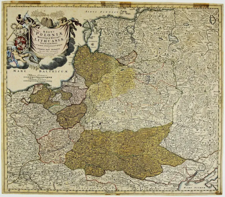
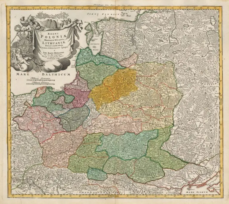
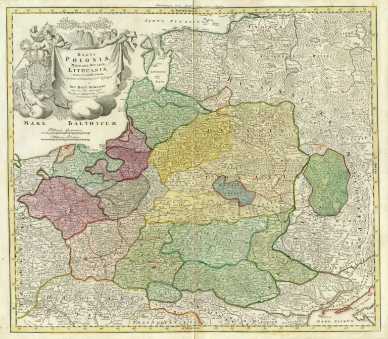
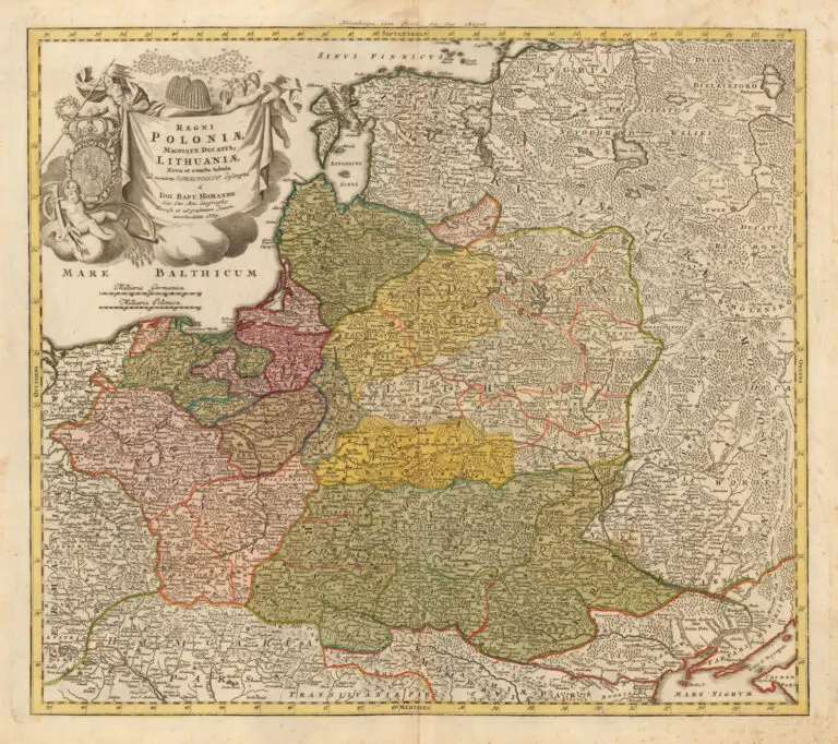
Regni Poloniӕ, Magnique Ducatus g. Lithuaniӕ Nova et exacta tabula, ad mentem STAROVOLCII descripta
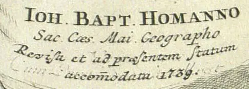
1739 [dated] Johann Gabriel Doppelmayr (mapmaker for Johann Homann) – Homann (Erben) Heirs (publisher) – Johann Ernst Adelbauer (printer): “Regni Poloniӕ, Magnique Ducatus g. Lithuaniӕ Nova et exacta tabula, ad mentem STAROVOLCII descripta” (A new and detailed map of the Kingdom of Poland and the Grand Duchy of Lithuania, described according to Starovolski) Nürnberg, in versions dated, but not necessarily published, in 1739, from the “Atlas factice.” Note the poorly-erased old engraving in the Fifth State of the cartouche. Szymon Starovolski (1588-1656) , also known as Starowolski and as Simon Starovolscius – born into an impoverished Lithuanian noble family – was a historian, geographer and prolific author on the Polish-Lithuanian Commonwealth. See states: #1:
1712; #2: 1715-18; #3: 1729; #4: 1730-38.
Year
1739
Author
Johann Gabriel Doppelmayr
Sources
http://gauss.suub.uni-bremen.de
Latvian National Library: https://academia.lndb.lv
Beinecke Rare Book and Manuscript Library at Yale University http://brbl-dl.library.yale.edu
Royal Danish Library: www.kb.dk




![Tab[ula] mod[erna] Tartarie, (www.sothebys.com)](https://lietuvoskartografi4c16a.zapwp.com/q:i/r:0/wp:1/w:1/u:https://lietuvoskartografija.lt/lithuanianmaps/wp-content/uploads/2021/11/1524_c_fries_tab_mod_tartarie_sothebys-1024x733.jpg)