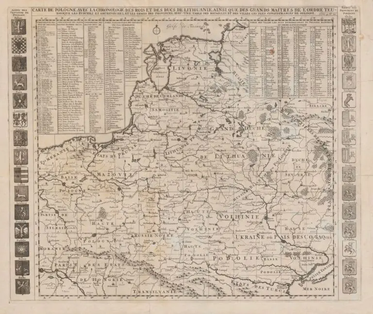
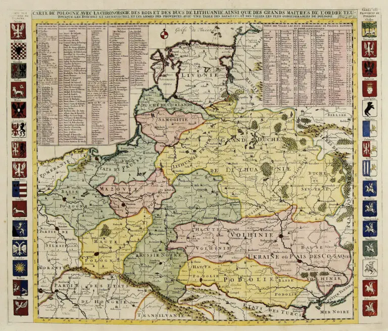
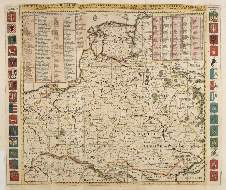
description
CARTE DE POLOGNE, AVEC LA CHRONOLOGIE...Tome. 4 No. 20
1720 Henri Abraham Chatelain (engraver after Delisle) – Nicolas Gueudeville (commentary) –
L’Honoré & Châtelain (publisher): “CARTE DE POLOGNE, AVEC LA CHRONOLOGIE… Tome. 4 No. 20,” Amsterdam, 20 x 24 inches, from the Third Edition of Vol. IV of “Atlas Historique,” published as “Nouvelle Edition, Reveuë, corrigée [& considerablement augmentée],” compiled by Zachairie Chatelain. We believe that neither the First edition of this atlas: 1714, nor the Second: 1718, included this map. Only the Third and the Fourth and last edition: 1735 of the atlas had it.


![Tab[ula] mod[erna] Tartarie, (www.sothebys.com)](https://lietuvoskartografi4c16a.zapwp.com/q:i/r:0/wp:1/w:1/u:https://lietuvoskartografija.lt/lithuanianmaps/wp-content/uploads/2021/11/1524_c_fries_tab_mod_tartarie_sothebys-1024x733.jpg)