description
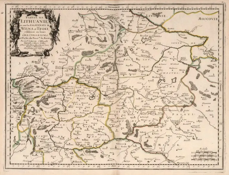
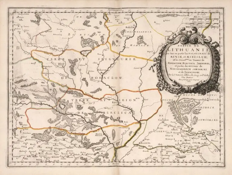
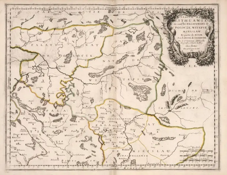
Partie de Lithuanie ou sont les Palatinats de..
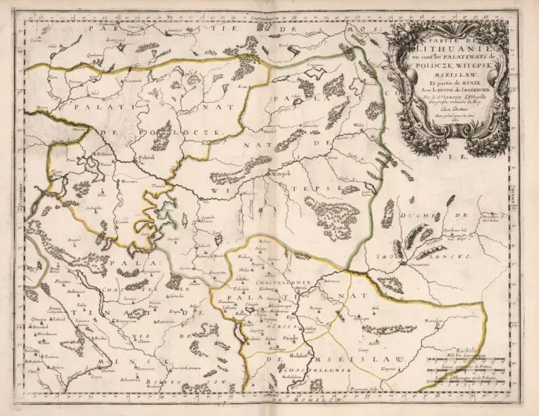
1709 Guillaume Sanson (geographer/publisher) – Peyrounin (engraver) – Cloistre de S Nicolas du Louvre (publisher): “Partie de Lithuanie ou sont les Palatinats de…” Paris – a series of maps illustrating The Grand Duchy of Lithuania’s administrative regions within an atlas titled “Cartes et Tables de la Geographie Ancienne et Nouvelle ou Methode pour s’Instruire Avec facilite de la Geographie, et Connoistre des Empires, Monarchies, Royaumes, Estats, Republiques, et Peuples … Par les Srs. Sanson, Geographes du Roy … A Paris. Chez l’Autheur … 1697.” (Maps and Tables of Geography Ancient and Modern or Methods for Easy Instruction of the Geography and Understanding of Empires, Monarchies, Kingdoms, States, Republics, and Peoples … By Srs. Sanson, Geographers to the King … In Paris … House of the Author … 1697.) The title page is dated 1697, but there are maps within the atlas dated 1709, and the maps of parts of Lithuania are dated from 1665 to 1666 – and maps from that time are on this site. Compare these maps with those published in those years. All images from www.davidrumsey.com


![Tab[ula] mod[erna] Tartarie, (www.sothebys.com)](https://lietuvoskartografi4c16a.zapwp.com/q:i/r:0/wp:1/w:1/u:https://lietuvoskartografija.lt/lithuanianmaps/wp-content/uploads/2021/11/1524_c_fries_tab_mod_tartarie_sothebys-1024x733.jpg)