description
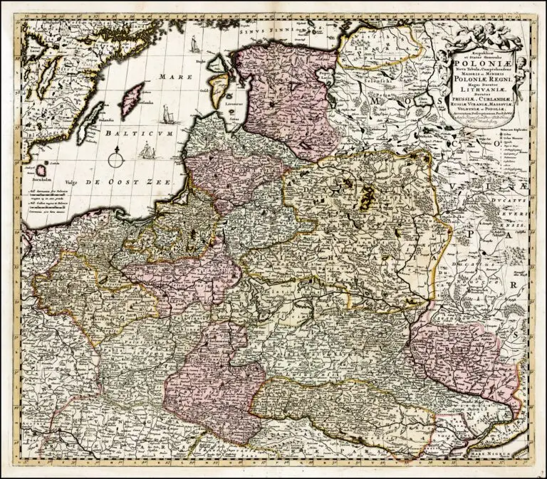
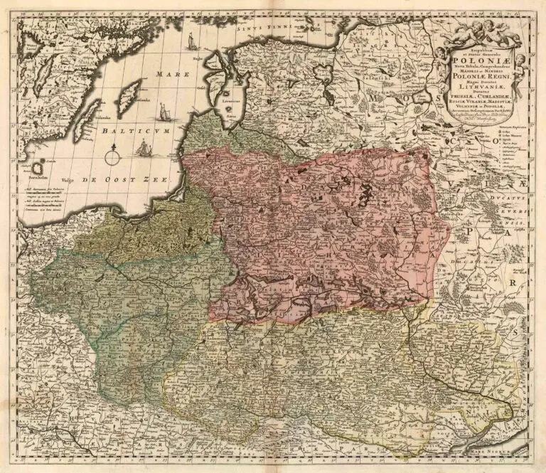
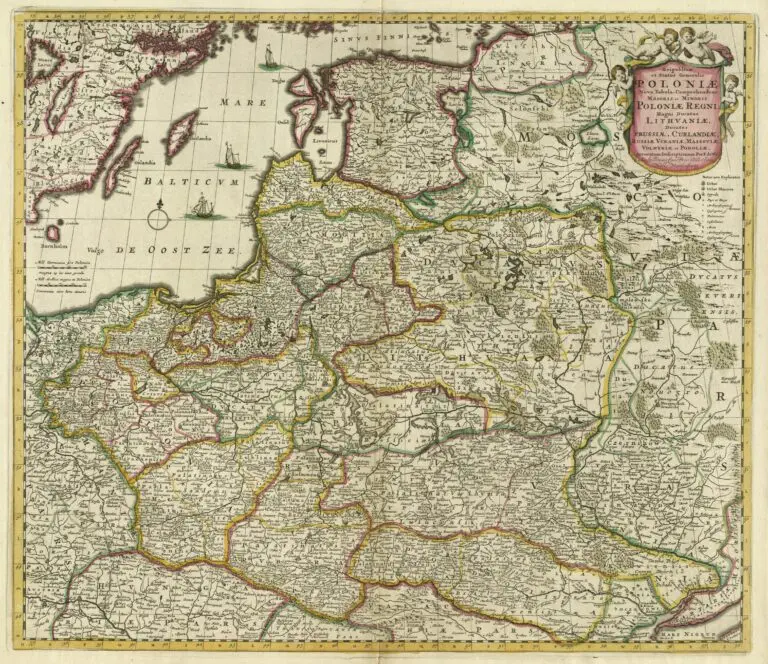
Reipublicæ et Status Generalis POLONIÆ Nova Tabula, Comprehendens Maioris et Minoris Poloniæ Regni, Magni Ducatus Lithvaniæ Ducatus Prussiæ, Curlandiæ, Russiæ Vcraniæ, Massoviæ, Volhyniæ et Podoliæ
1700 Frederick de Wit: “Reipublicæ et Status Generalis POLONIÆ Nova Tabula, Comprehendens Maioris et Minoris Poloniæ Regni, Magni Ducatus Lithvaniæ Ducatus Prussiæ, Curlandiæ, Russiæ Vcraniæ, Massoviæ, Volhyniæ et Podoliæ,” Amsterdam, 22 x 19 inches, in three versions of the Third State of the cartouche, with a new title, the privilege, and a mileage chart. See 1680-85 First State versions, the 1689 Second State versions with a privilege and mileage chart, and the c1690 van Schragen version. Three or four ships in the Baltic in each – a buyer option.
Year
1700


![Tab[ula] mod[erna] Tartarie, (www.sothebys.com)](https://lietuvoskartografi4c16a.zapwp.com/q:i/r:0/wp:1/w:1/u:https://lietuvoskartografija.lt/lithuanianmaps/wp-content/uploads/2021/11/1524_c_fries_tab_mod_tartarie_sothebys-1024x733.jpg)