description
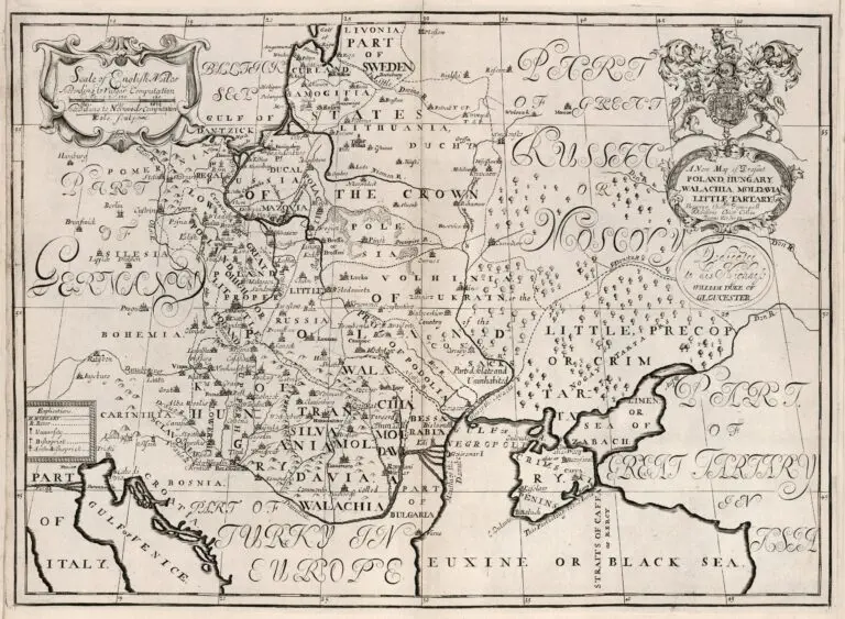
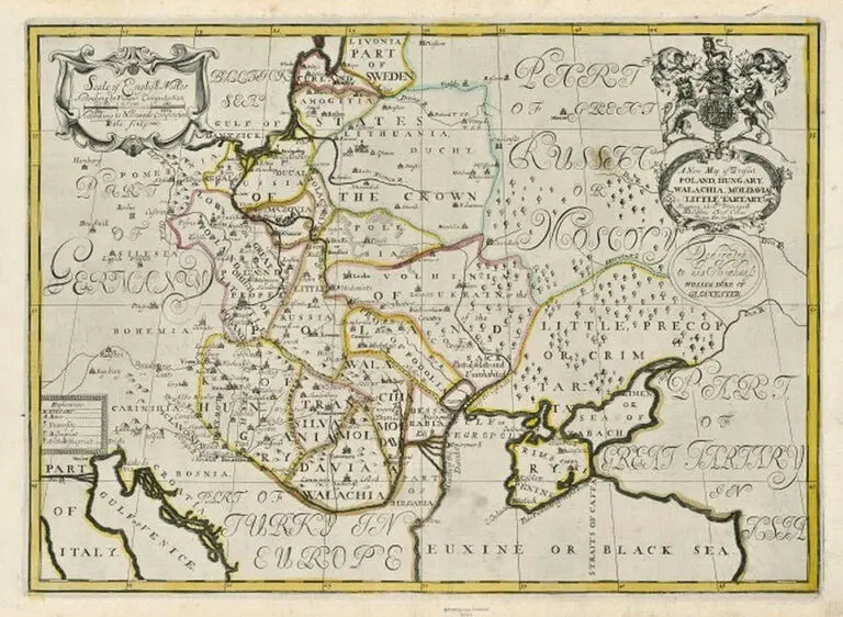
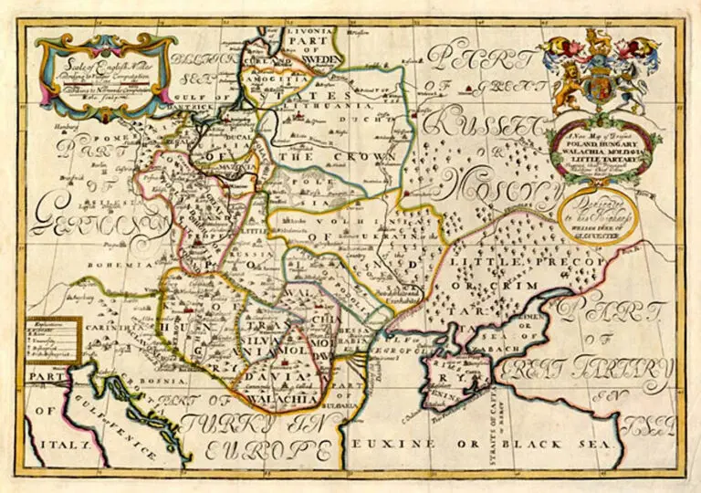
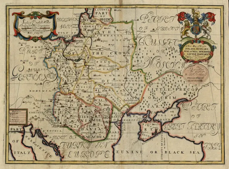
A New Map of Present POLAND, HUNGARY WALLACHIA, LITTLE TARTARY
1700 Edward Wells (teacher/mapmaker) – Sutton Nicholls (engraver): “A New Map of Present POLAND, HUNGARY WALLACHIA, LITTLE TARTARY,” Oxford, 37 x 51 cm, in three versions. This is one of a set of 22 maps from “A New Sett of Maps Both of Antient and Present Geography,” published 1700 – 1738. The atlas contains, in most cases, two of each map to compare the ancient and modern configurations. Compare with the 1712 versions. Also see the “Antient” version of this map, titled “Sarmatia, in “MapsEthnographic.” All the maps in the atlas are dedicated to the just-deceased 11-year-old William, Duke of Gloucester, son of Princess – later Queen – Anne.
Year
1700
Author
Edward Wells
Sources
LIETUVOS DAILĖS FONDAS: www.ldfondas.lt/
Cartographic and Geological Institute of Catalonia:
https://cartotecadigital.icgc.cat/digital/collection


![Tab[ula] mod[erna] Tartarie, (www.sothebys.com)](https://lietuvoskartografi4c16a.zapwp.com/q:i/r:0/wp:1/w:1/u:https://lietuvoskartografija.lt/lithuanianmaps/wp-content/uploads/2021/11/1524_c_fries_tab_mod_tartarie_sothebys-1024x733.jpg)