description
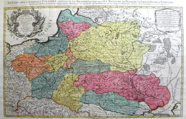
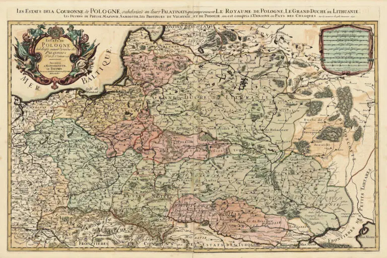
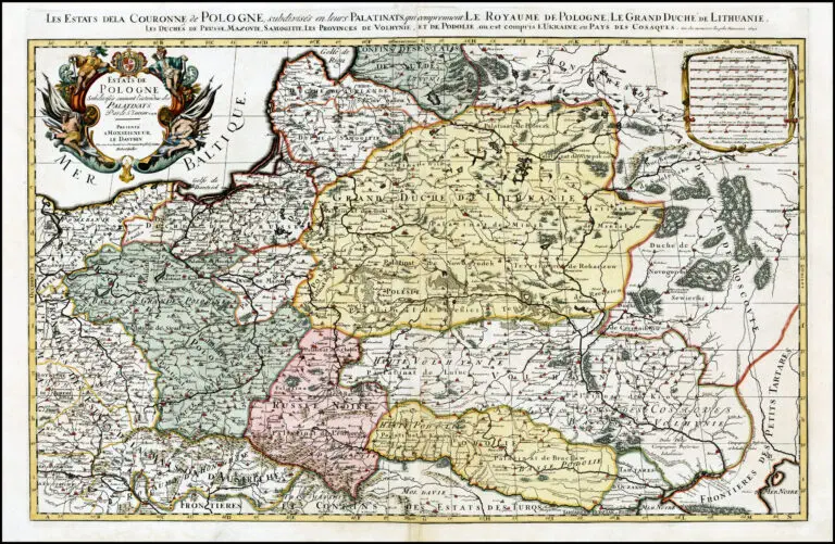
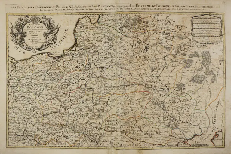
Estats de Pologne Subdivisés suivant l'estendue des Palatinats Par Le Sr. Sanson..
1692 [dated] Alexis-Hubert Jaillot (mapmaker/publisher): “Estats de Pologne Subdivisés suivant l’estendue des Palatinats Par Le Sr. Sanson..,” Paris, 34 x 22 inches / 54.4 x 87 cm. from “Atlas Nouveau.” Much of Jaillot’s output was based on maps by Nicolas Sanson reworked, at Jaillot’s request in 1670, by Adrien and Guillaume Sanson. “Atlas Nouveau” was published in editions of 1681, ’85, ’89, ’92, ’96 and ’98. The 1692, ’96 and ’98 editions were pirated by Amsterdam publisher Pierre Mortier. See the dated 1685 version.
Year
1692


![Tab[ula] mod[erna] Tartarie, (www.sothebys.com)](https://lietuvoskartografi4c16a.zapwp.com/q:i/r:0/wp:1/w:1/u:https://lietuvoskartografija.lt/lithuanianmaps/wp-content/uploads/2021/11/1524_c_fries_tab_mod_tartarie_sothebys-1024x733.jpg)