description
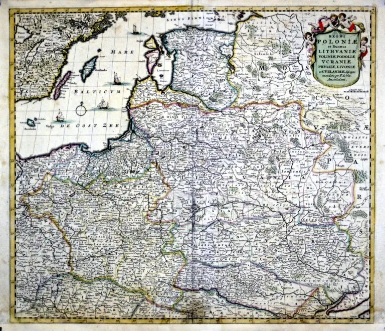
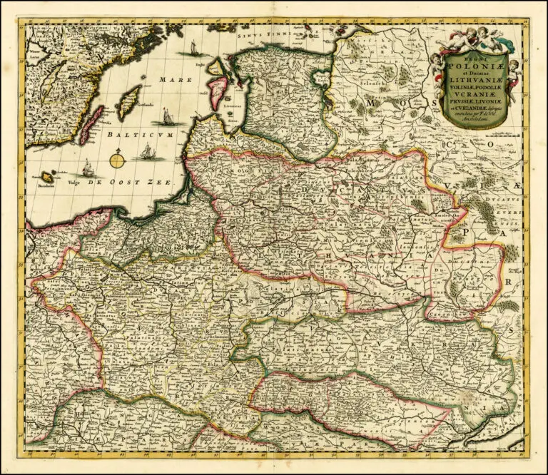
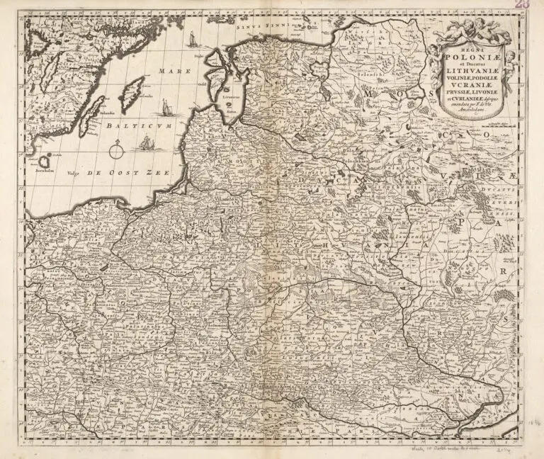
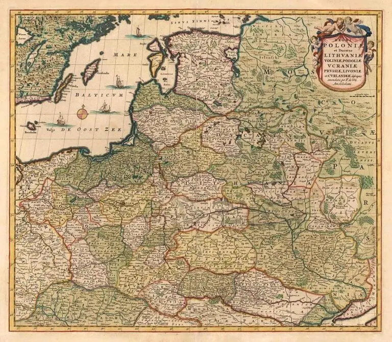
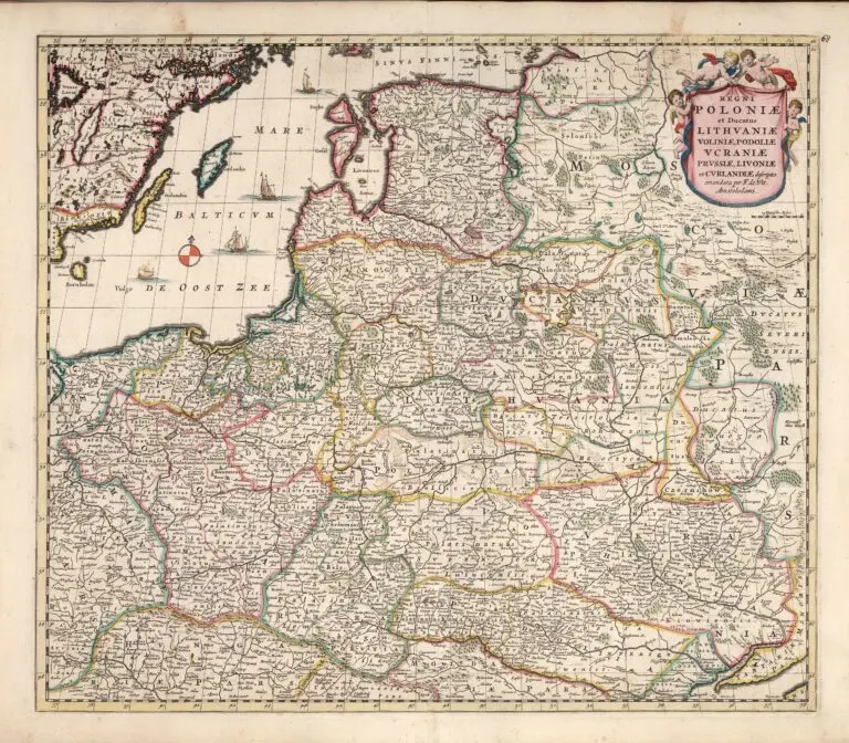
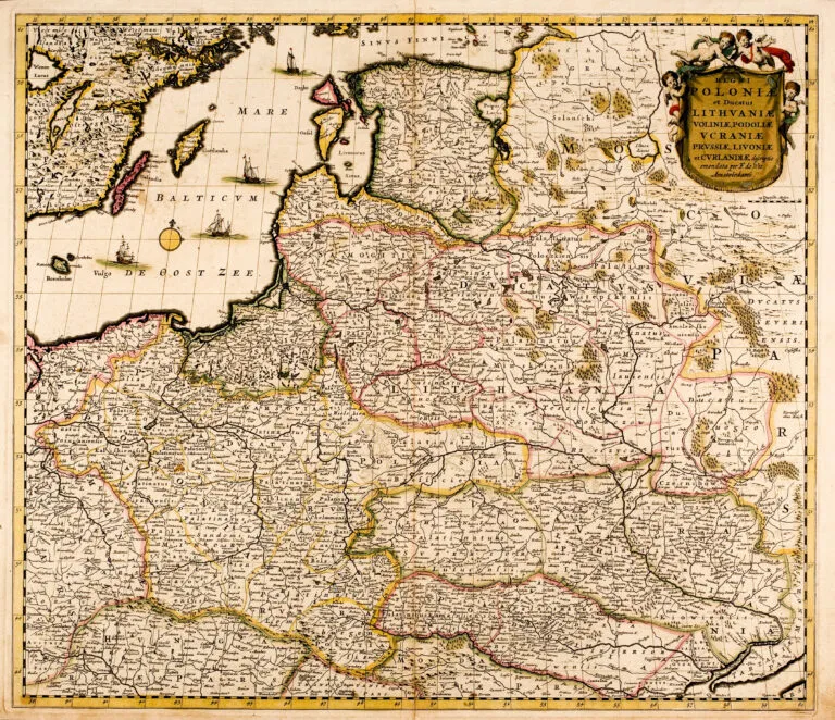
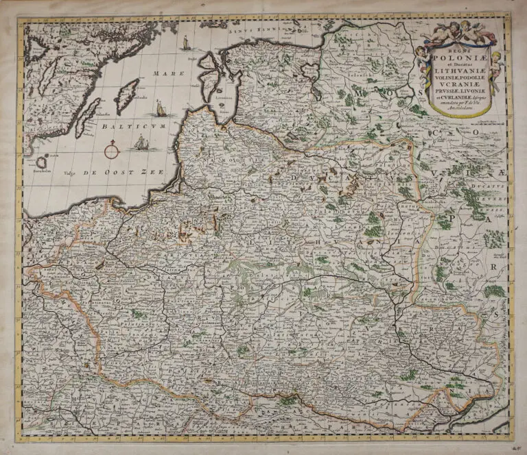
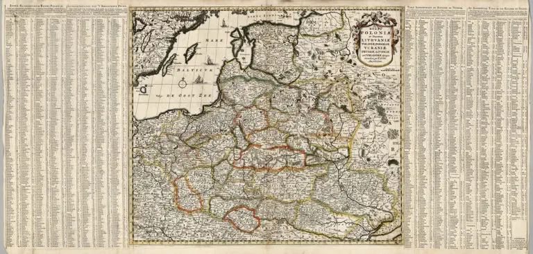
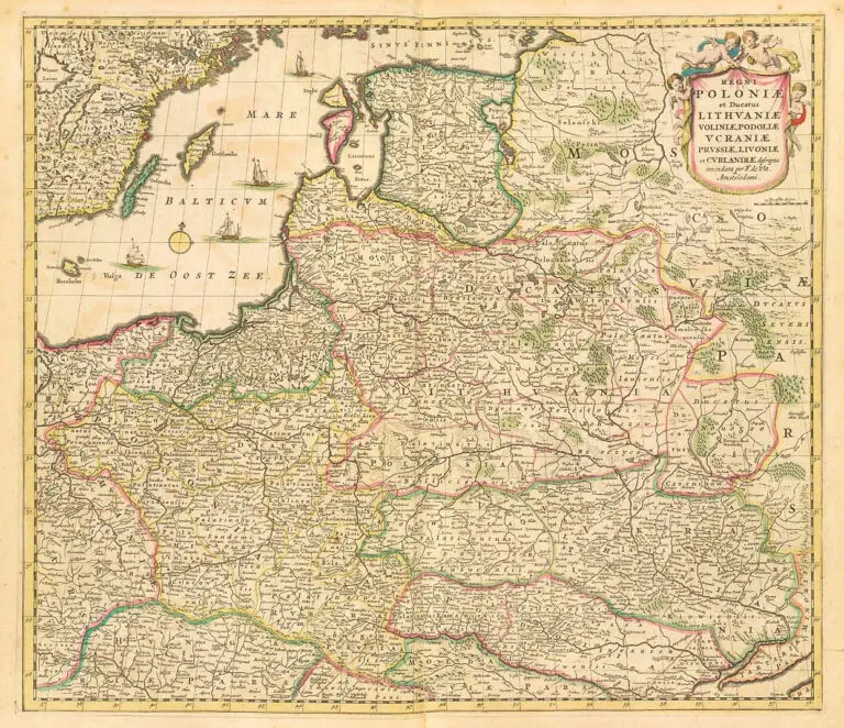
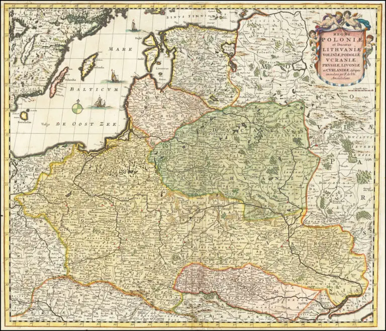
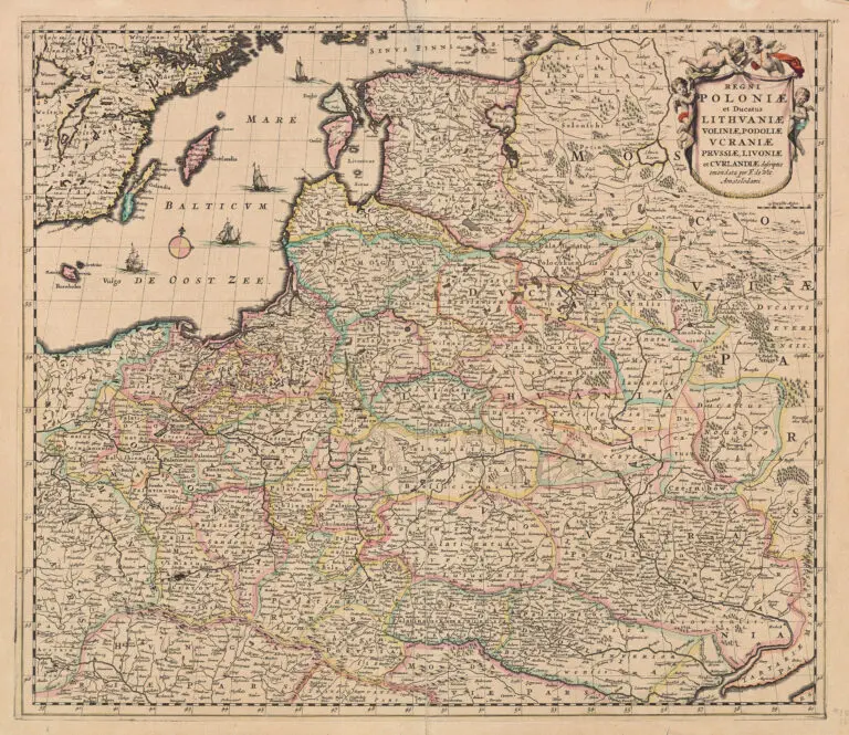
REGNI POLONIÆ et Dvcatus LITHVANIÆ, Voliniae, Podoliae Vcraniae Prvssiæ et Cvrlandiæ Novissima et Correctissima Descriptio..
1680 Frederick de Wit: “REGNI POLONIÆ et Dvcatus LITHVANIÆ, Voliniae, Podoliae Vcraniae Prvssiæ et Cvrlandiæ Novissima et Correctissima Descriptio..,” Amsterdam, 19.37 x 22.44 inches / 56 x 48 cm, in versions with the First State of the cartouche. See the page “MapmakersT-Z” and the info on Wit for examples of the different states of the cartouche. Note that some of the examples have four ships in the Baltic, and others have three. Compare with versions c. 1685, c. 1689 and 1700. See the van Schragen copy, c. 1690.
Year
1680
Author
Sources
www.kolekcijos.biblioteka.vu.lt
Royal Danish Library:
www.kb.dk
Norman B. Leventhal Map Center at the Boston Public Library:
www.leventhalmap.org
Beinecke Collection: www.
brbl-dl.library.yale.edu



![Tab[ula] mod[erna] Tartarie, (www.sothebys.com)](https://lietuvoskartografi4c16a.zapwp.com/q:i/r:0/wp:1/w:1/u:https://lietuvoskartografija.lt/lithuanianmaps/wp-content/uploads/2021/11/1524_c_fries_tab_mod_tartarie_sothebys-1024x733.jpg)