description
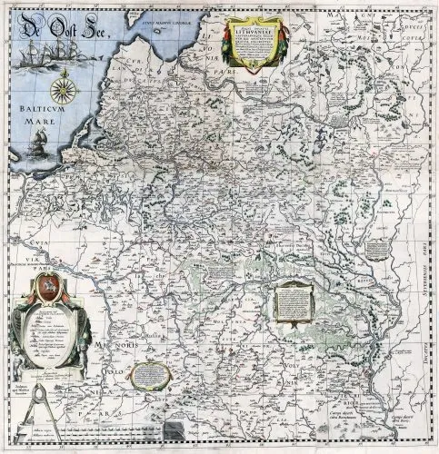
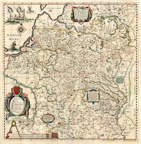
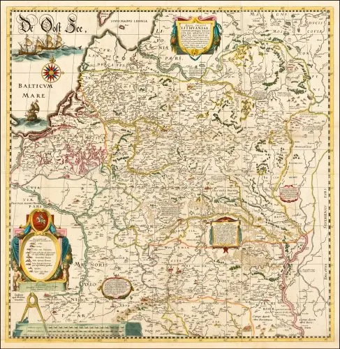
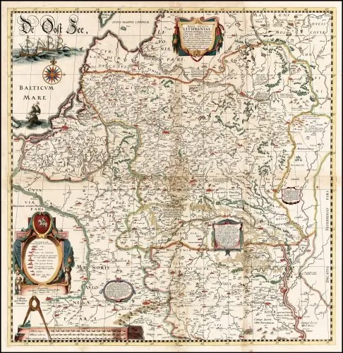
MAGNI DVCATVS LITHVANIAE
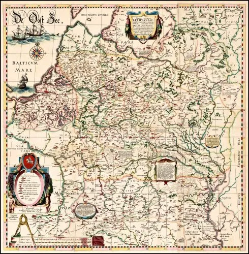
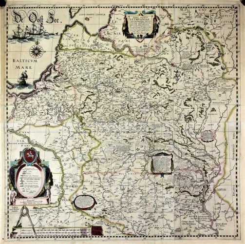
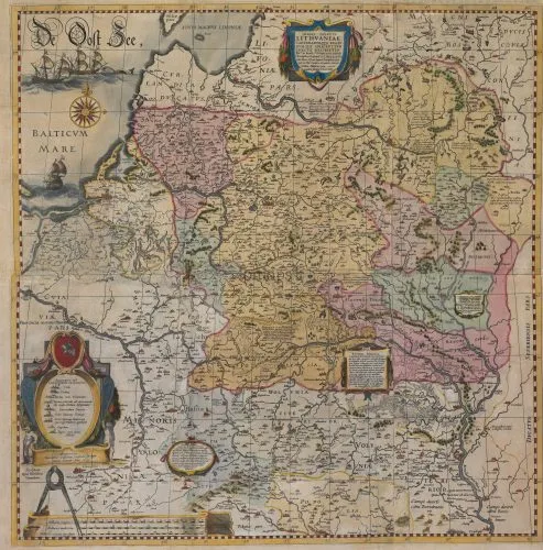
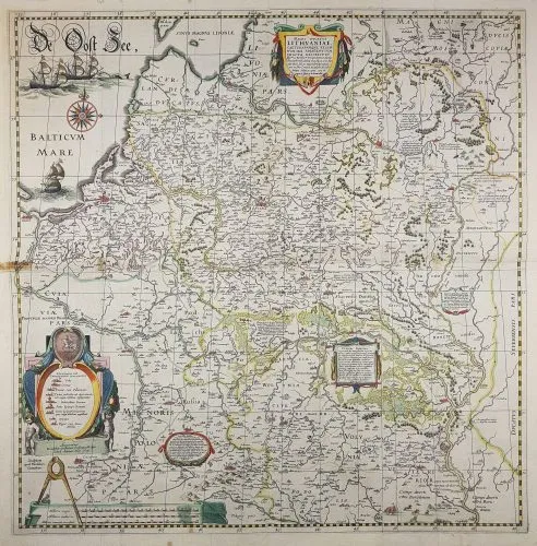
1613–1645 Hessel Gerritsz (engraver) – Willem Blaeu: (mapmaker/publisher): “MAGNI DVCATVS LITHVANIAE,” 28.9 x 29.3 inches, Amsterdam. An important 4-sheet wall map engraved (all such maps have the date “1613” on the second cartouche) from survey drafts prepared by M. Strubicz under instructions of Prince Nicolas Christophe Radziwill (Lithuanian: Mikalojus Kristupas Radvila). These examples are by Willem Blaeu, under his imprint “Guilhelmus Janssoni.” This map was not included in an atlas until 1630. These examples have a tiny town vignette at the location for Memel, but no label. “Der Memel” was apparently added in a French version of the atlas in 1645, and in Flemish and German atlases beginning 1647 .
Year
1630–1645



![Tab[ula] mod[erna] Tartarie, (www.sothebys.com)](https://lietuvoskartografi4c16a.zapwp.com/q:i/r:0/wp:1/w:1/u:https://lietuvoskartografija.lt/lithuanianmaps/wp-content/uploads/2021/11/1524_c_fries_tab_mod_tartarie_sothebys-1024x733.jpg)