description
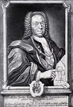
Seutter, Matthäus (The Elder)
Seutter left Augsburg in 1697 to apprentice as an engraver with J. B. Homann in Nuremberg. In 1707 he
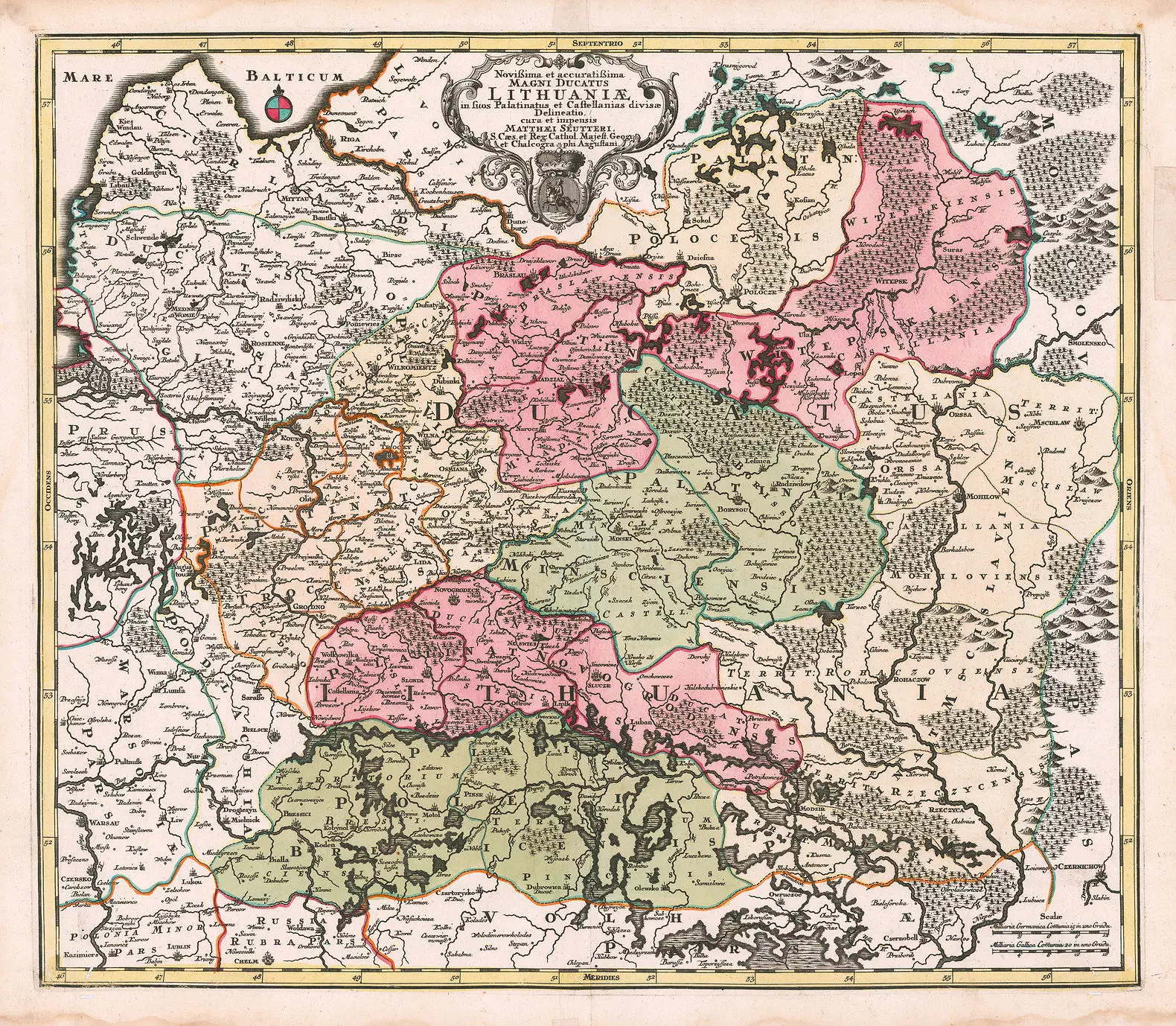
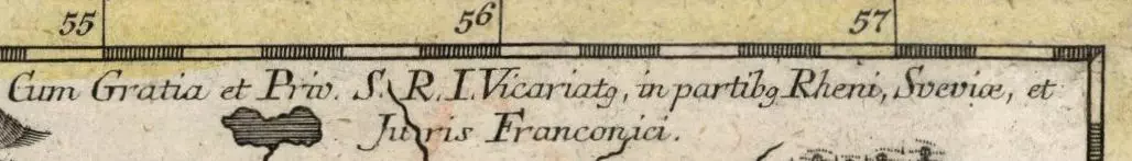
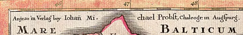
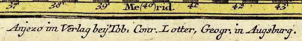
started his own publishing firm in Augsburg, which became a major competitor to Homann’s. In 1731 he was given, by German Emperor Karl VI, the title of “Imperial Geographer,” and the notation “…Cum Gratia et Priv…” began appearing under the top left frame line of his map “Novißima et accuratißima Magni Ducatus Lithuaniӕ…” Seutter continued to publish until his death, at the height of his career, in 1757. The firm continued until his son Albrecht Carl died in 1762. Then half of the firm’s plates and maps were purchased by Johann Michael Probst’s Augsburg engraving firm. Soon the “…Magni Ducatus…” map began appearing with the added notation “…Iohan Michael Probst…” under the top left frame line. The other half of Seutter’s plates and maps went to engraver Tobias Conrad Lotter, Seutter’s son-in-law. Most of Seutter’s maps, were copies of work by Homann, Delisle and de Fer – only 40 were based on original work.
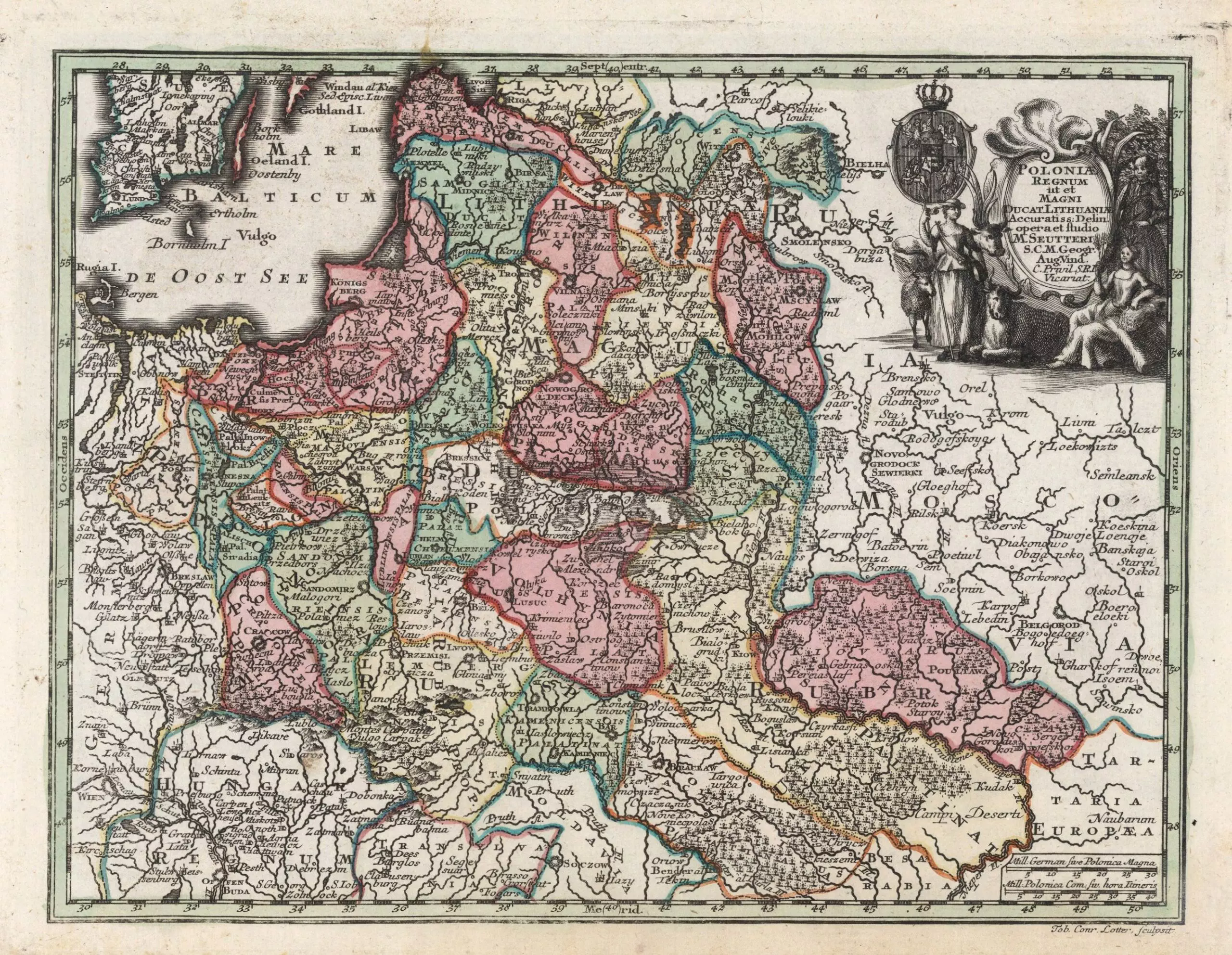
In 1720 Seutter published the first edition of “Atlas novus sive Tabulae geographicae totius orbis faciem” Augsburg. He later reduced the maps from that atlas to produce his “Atlas Minor præcipua orbis terrarum imperia…” described as both a pocket atlas and a school atlas, which contained the map “Poloniæ Regnum ut et Magni Ducat. Lithuaniæ Accuratiss…” a reduced version of “Poloniæ Regnum ut et Magni Ducatus Lithuaniæ Accuratiss…” with a coat of Arms in the cartouche. This is where things get confusing. The first edition of the map, and the atlas from which it is sourced, is described by one of the most knowledgeable map dealers as 1728. Nearly everyone else says the first edition is no earlier than 1740, with most saying it was 1744. Here is a summary of claimed atlas dates, paired with claimed dates for my 17 good images of this map: 14 claimed atlas pub. dates; 10 different claimed map pub. dates.
Correctly dating this map’s publication date:
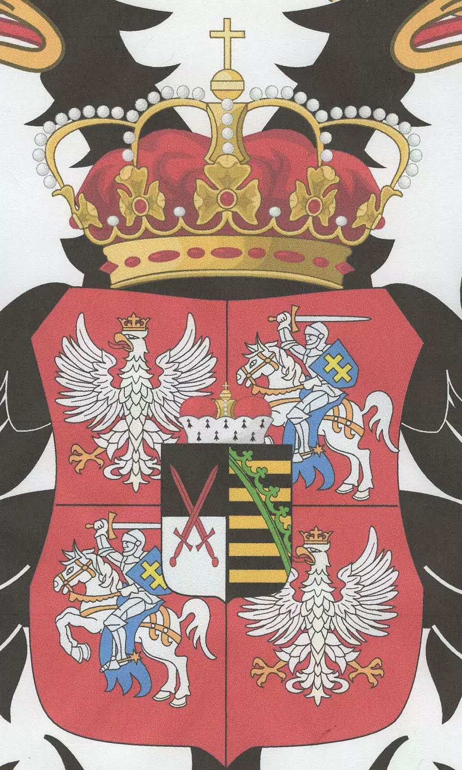
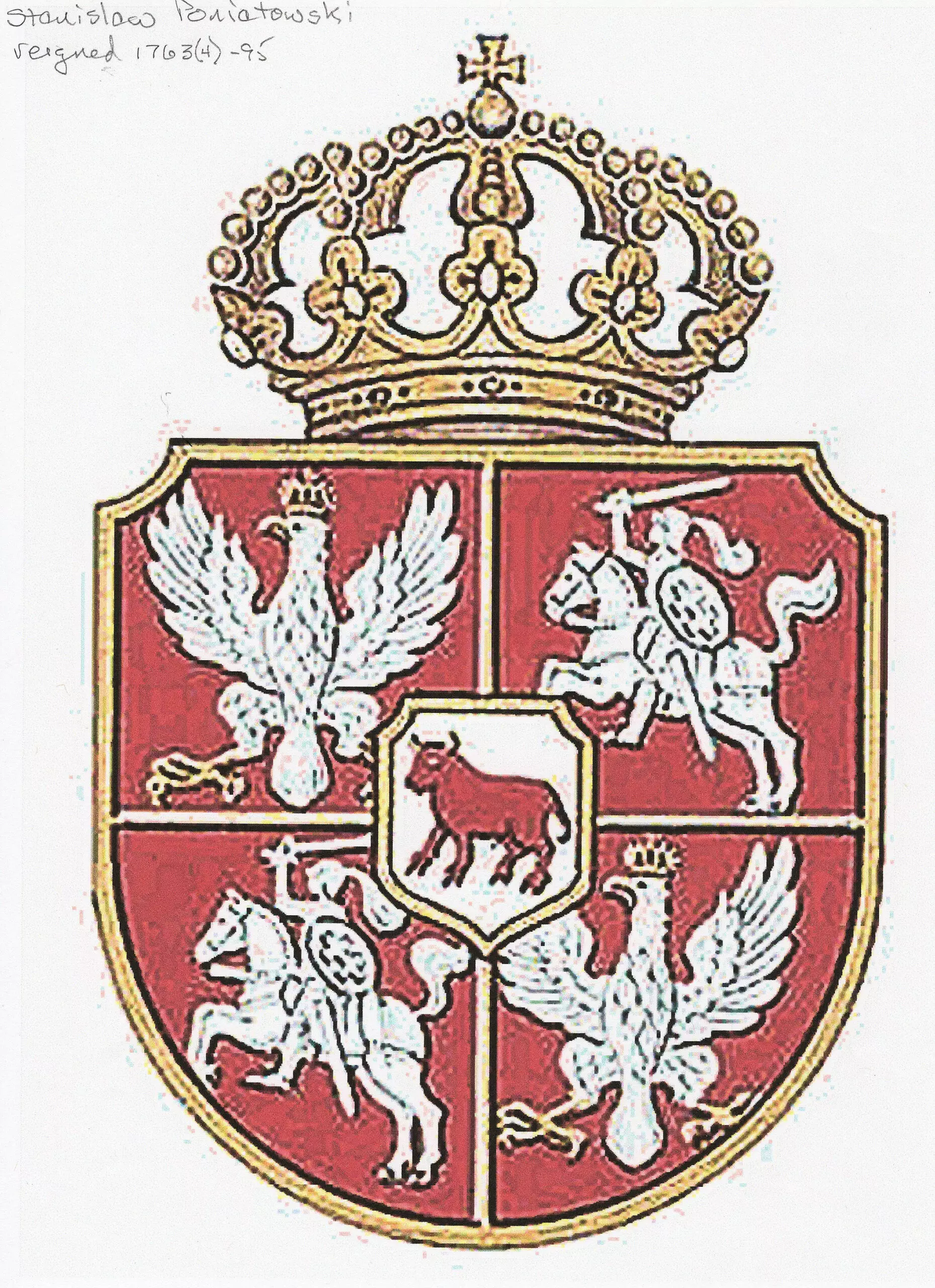
1. Valid publication dates before 1764 must have the coat of arms of Augustus III
2. The map cannot have been published before 1734
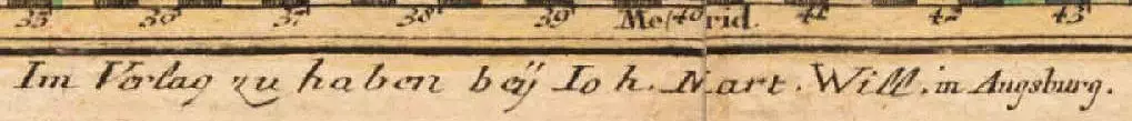
3. T. C. Lotter, working for Matthäus Seutter, engraved the map. After Matthäus died in 1757, his son Albrecht continued the firm, but Lotter inherited half Seutter’s plates, and set up his own publishing firm in 1758, the other half of plates bought by Johann Michael Probst.
Claimed atlas date | Claimed map date |
1728 | 0 |
1740 | 3 (1 wrong) |
1742 | 1 (Imago Poloniae) |
1744 | 4 (2 wrong) |
1745 | 1 |
1747 | 1 |
1756 | 0 |
1757 | 1 (wrong) |
1760 | 1 (wrong) |
Post-1762 | 0 |
1770 | 2 |
1772 | 1 |
1778 | 2 (1 wrong) |
1785 | 1 (wrong) |
14 | 18 |
Dates
1678–1757
Place of birth
Augsburg, Germany