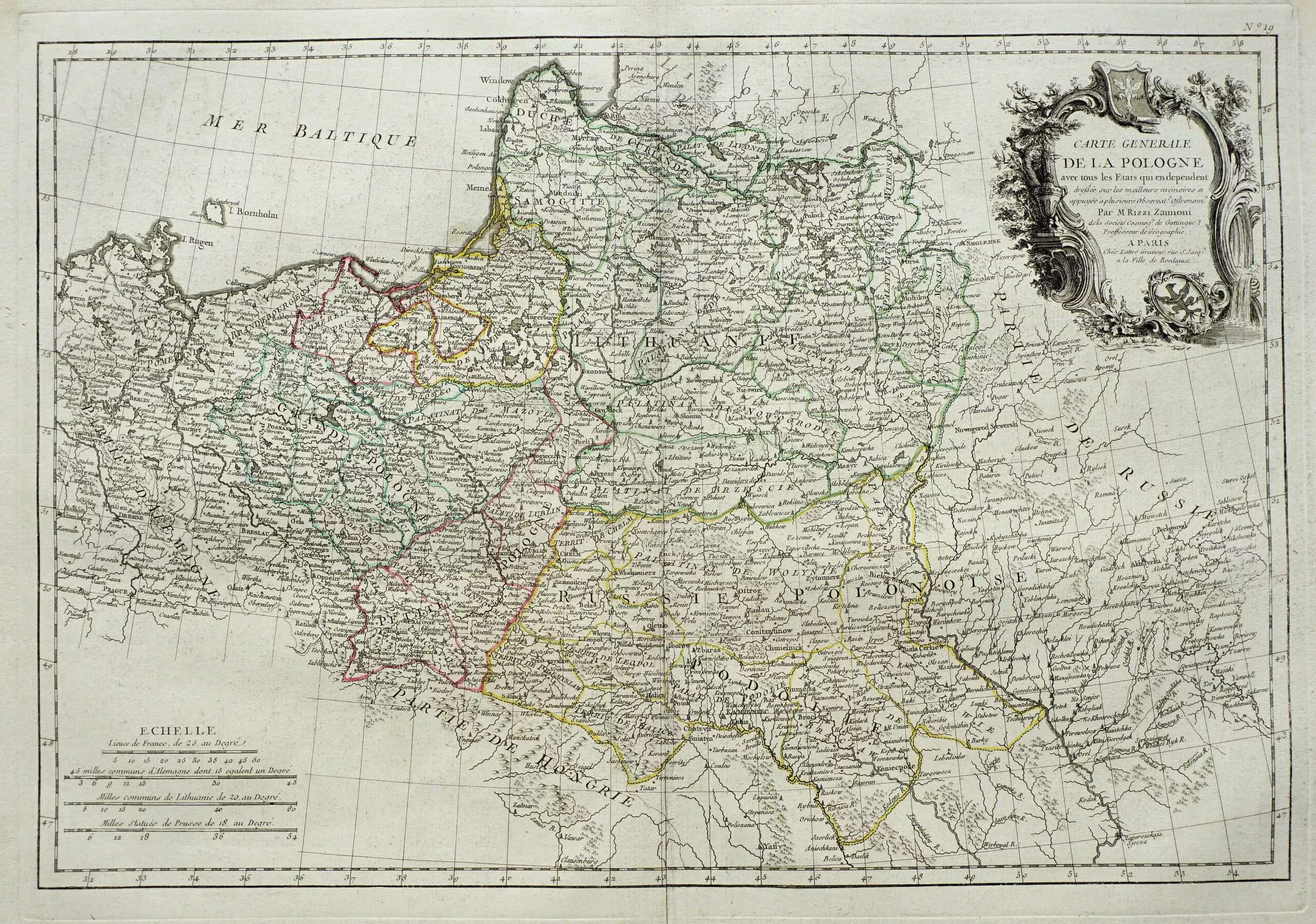
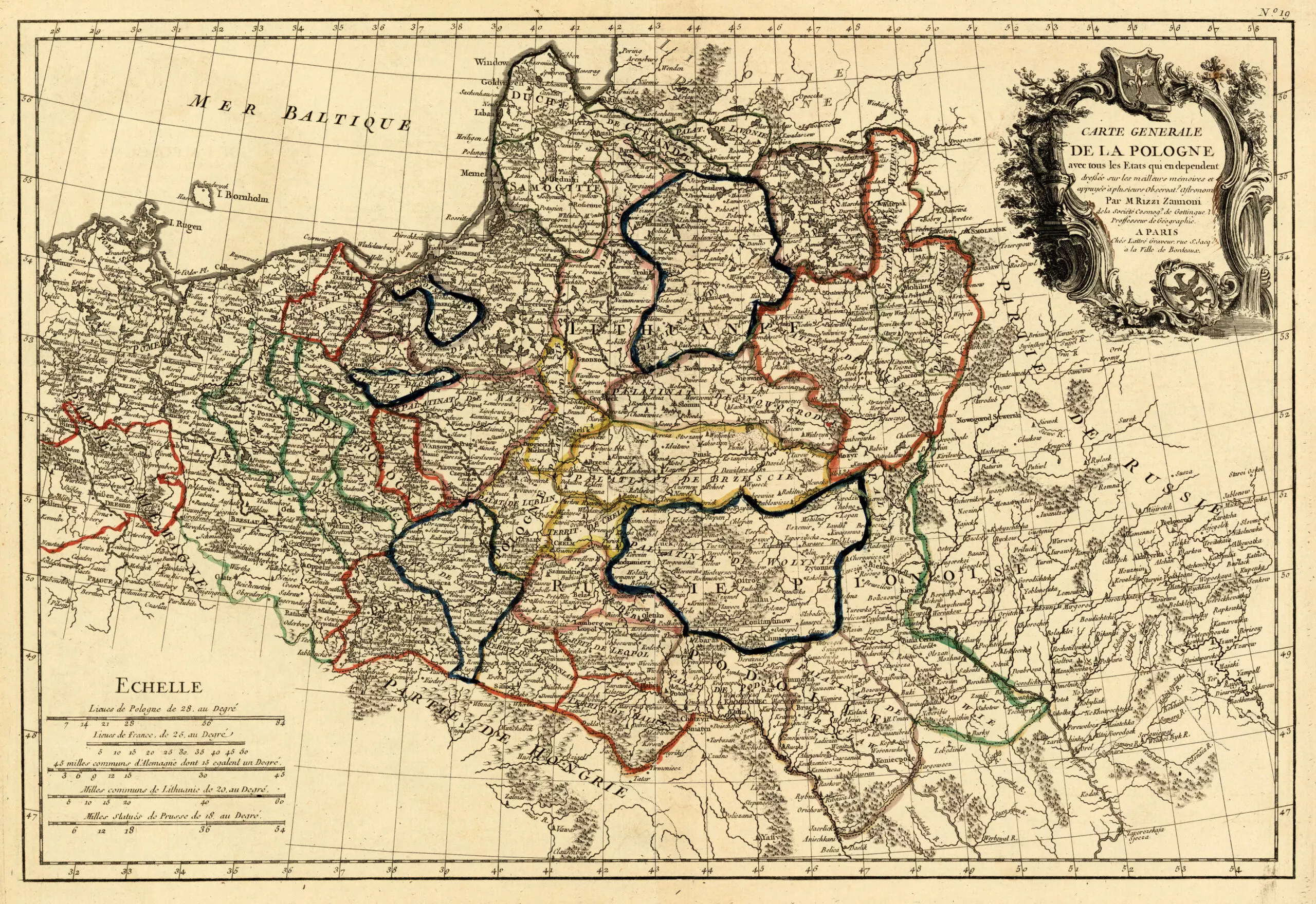
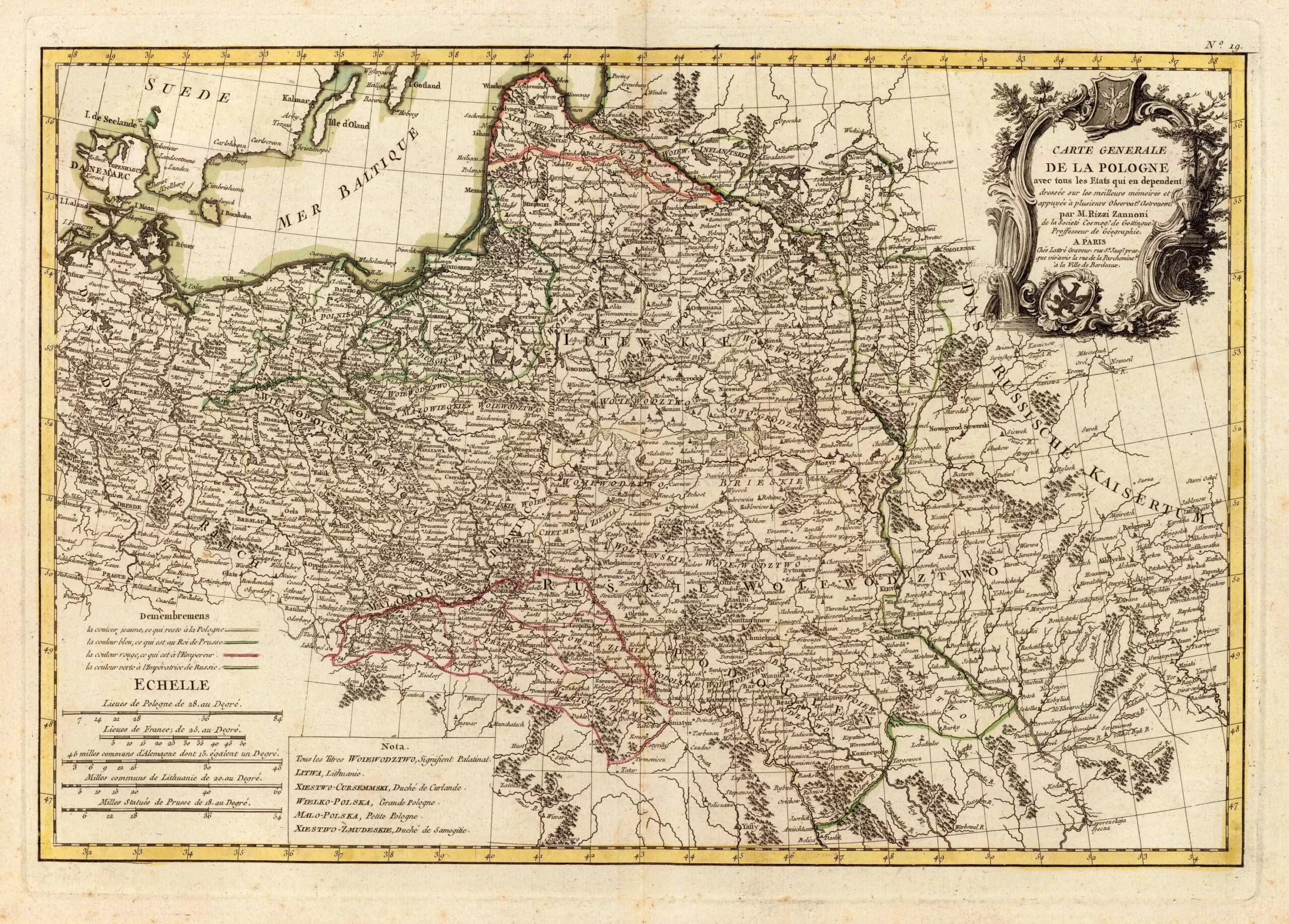
Geographer, astronomer. After traveling in Italy and abroad (visiting Turkey and Russia, among other countries), he began his career as a cartographer in 1753 in Poland, where he had been summoned by King Augustus III. A map of Poland he subsequently prepared was seen as far better than previous efforts. In 1756 he moved to Sweden, where he was commissioned to map Danish possessions. In 1757 he went to Germany in the service of Prussia, which was then involved in the Seven Years’ War. During the Battle of Rossbach (Dec. 5, 1757), in which the Prussians, led by Frederick the Great, prevailed over the French, he was taken prisoner and sent to Paris, where he remained for over 20 years. While there, his output included J.T. Herissant and J. Lattre‘s 1762 “Atlas Moderne” with 36 maps, created with the help of Rigobert Bonne and J.D. Janvier; “Atlas geographique et militaire” 1763, and “Carte Generale de la Pologne” in 25 sheets, 1772. Died Naples.
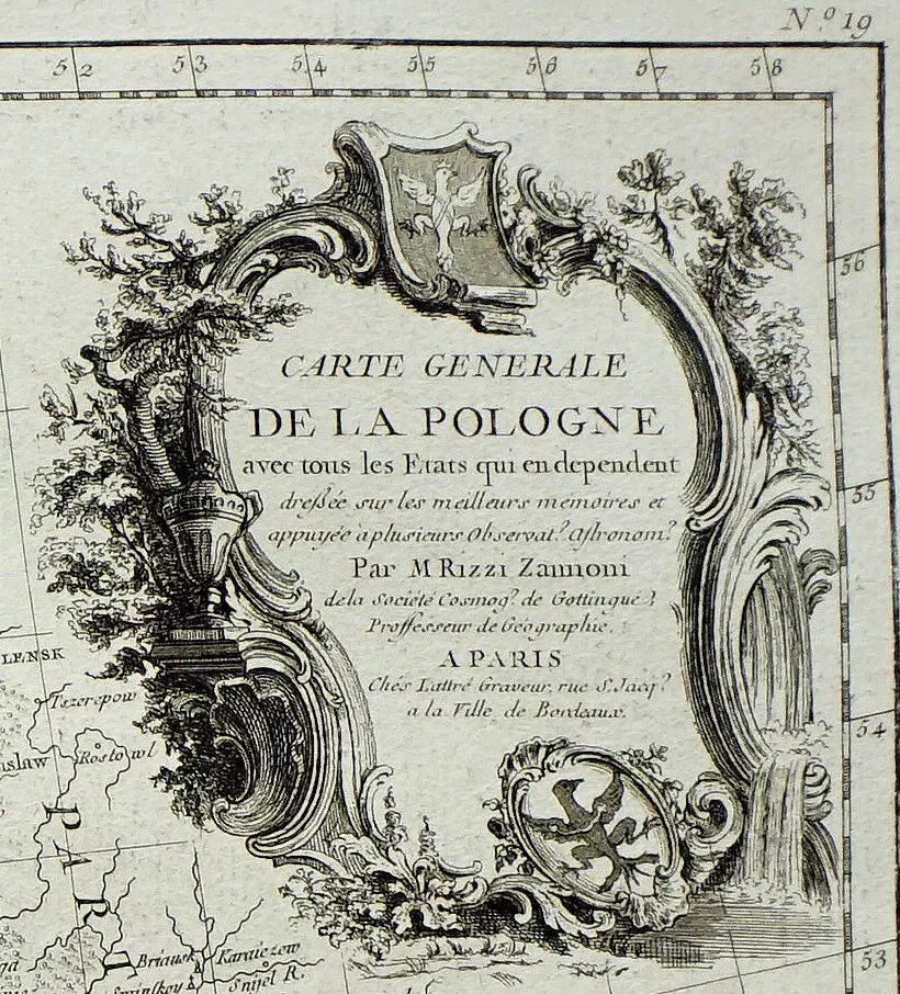
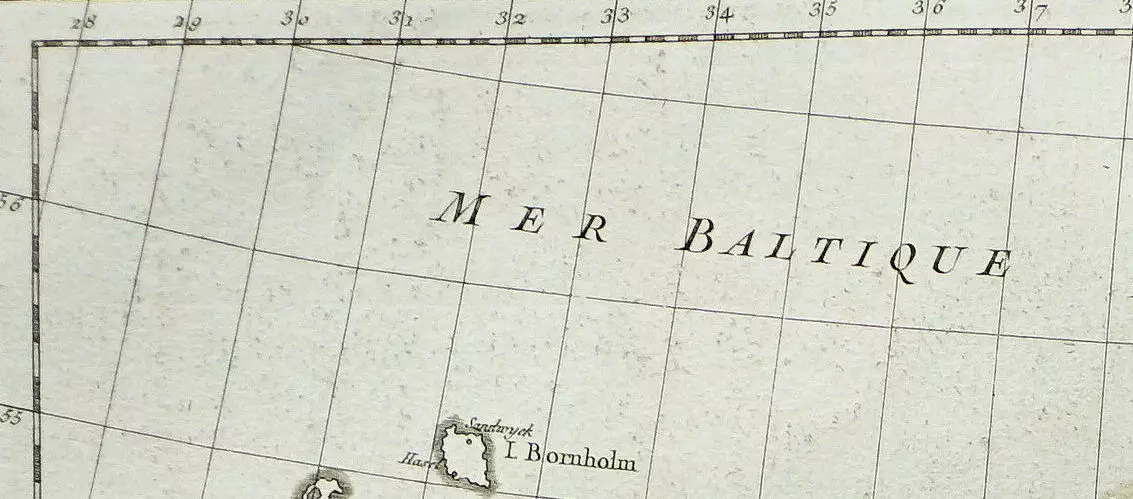
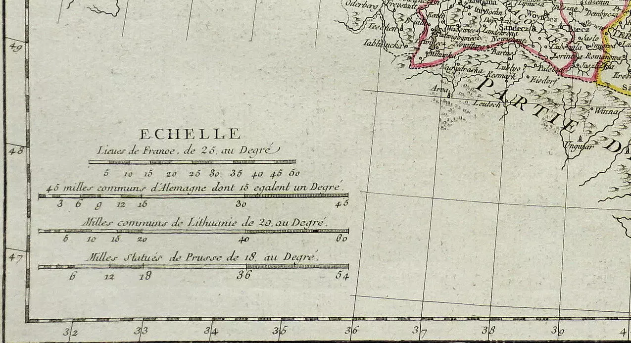
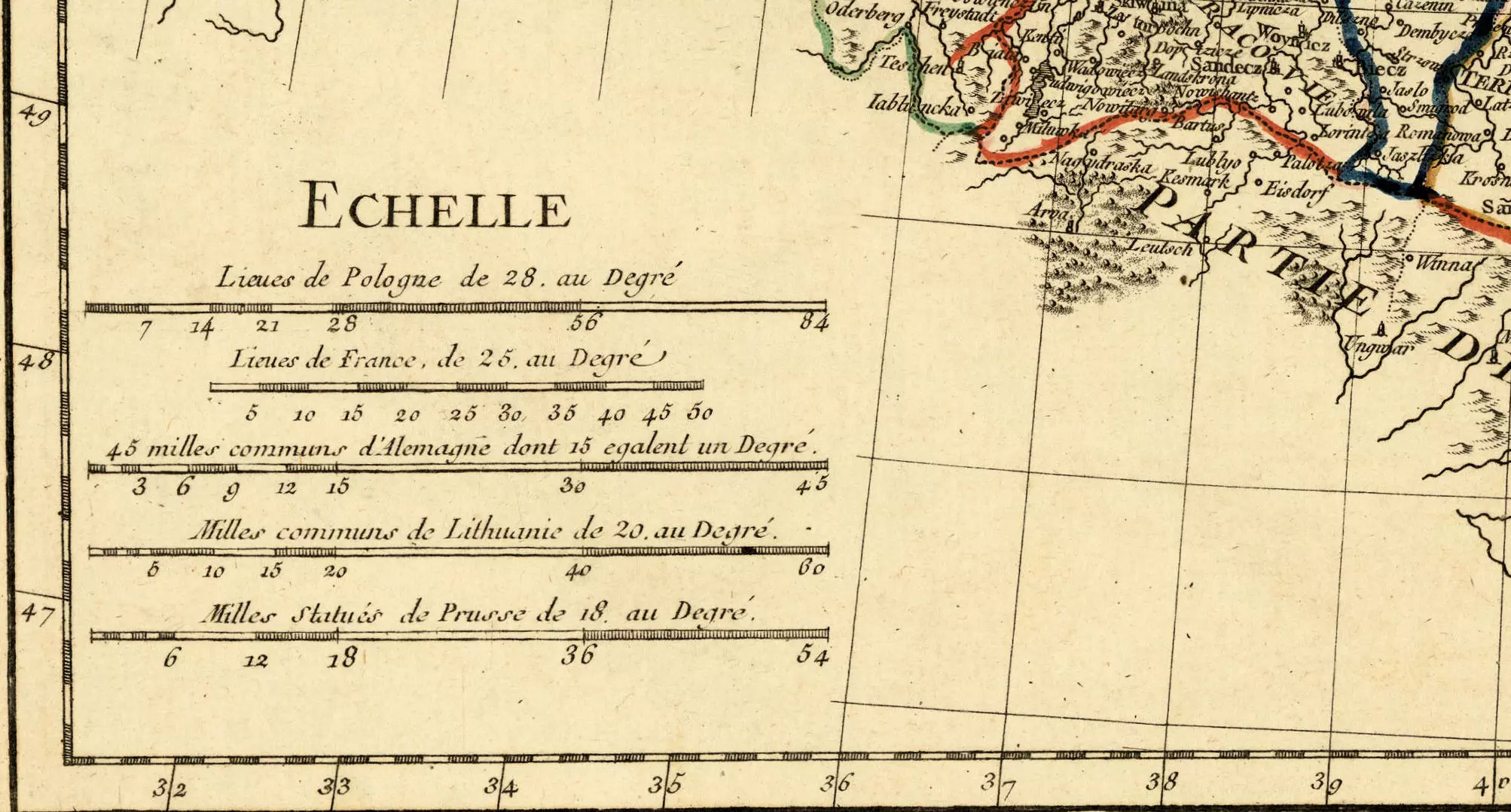
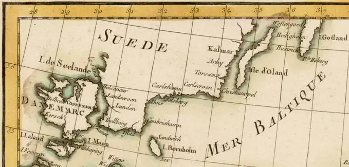
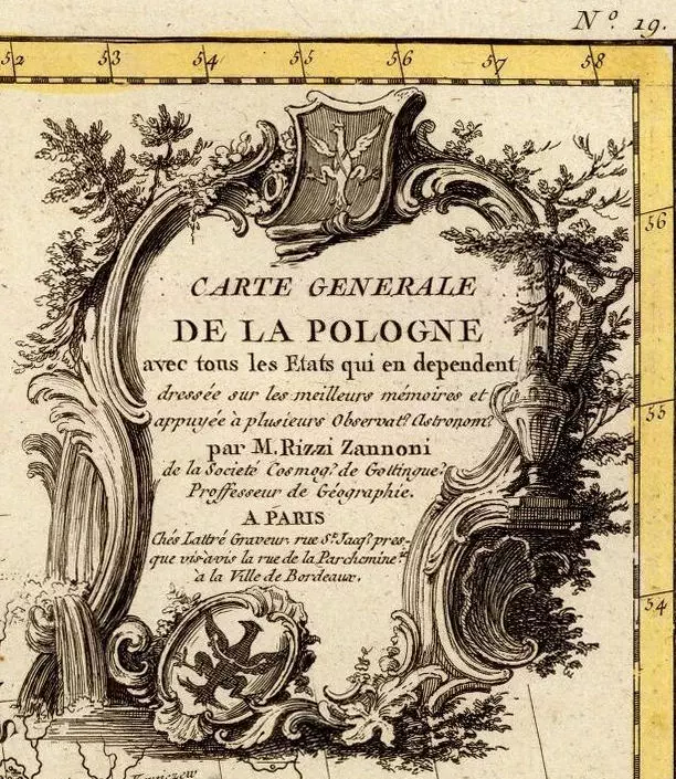
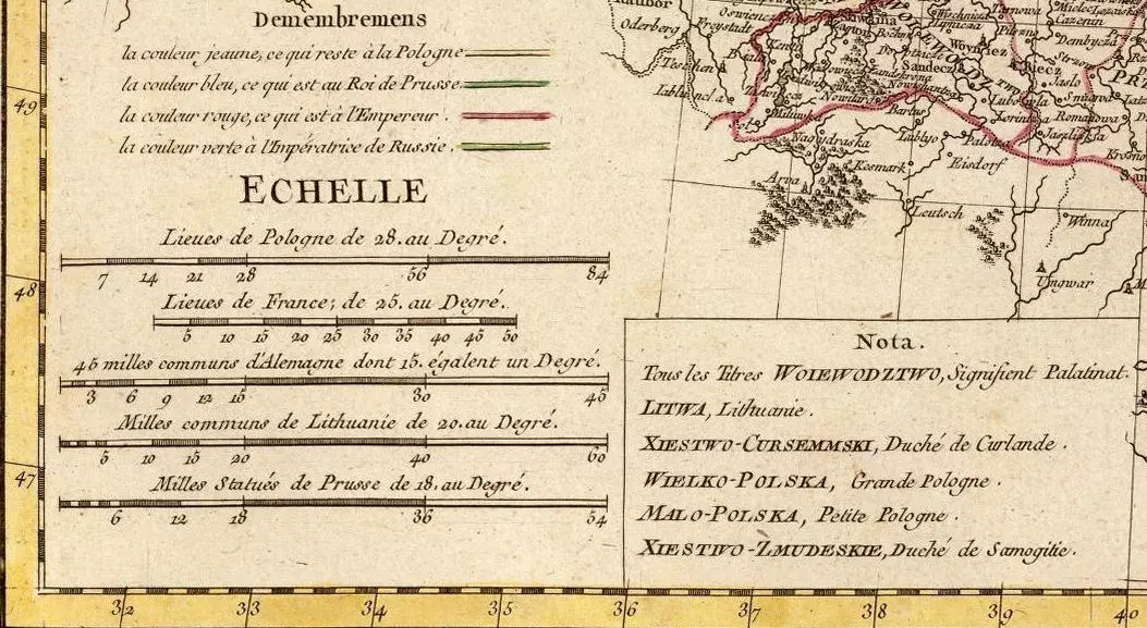
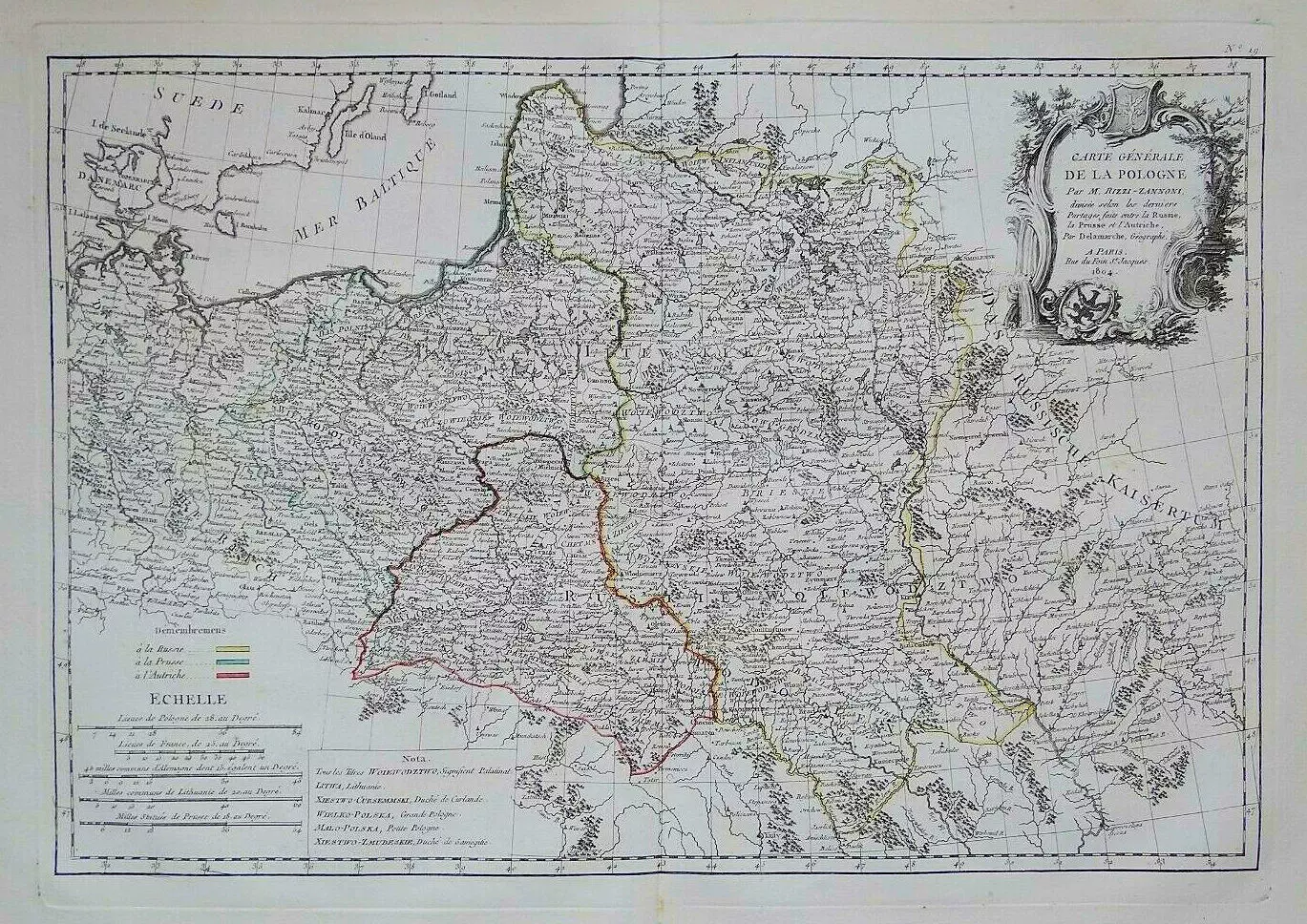
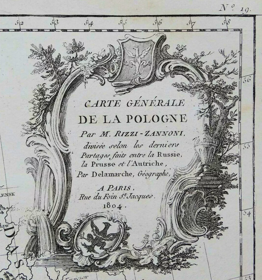
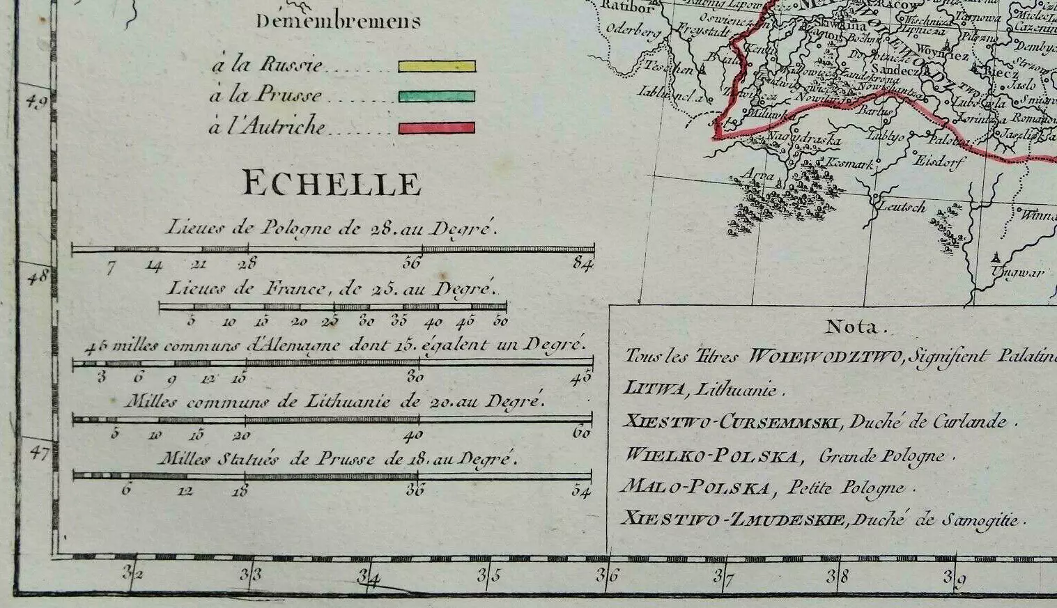
States of Rizzi–Zannoni’s: “CARTE GENERALE DE LA POLOGNE…” – between the 1762 First State and the 1804 last state, “Suede” appeared, “Hongrie” disappeared, the mileage chart and legend changed, the shape of the cartouche changed, and a date was added to the cartouche. What is consistent: page “No. 19” above the top right frame line.