description
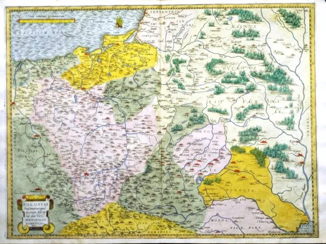
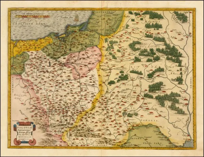
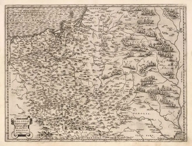
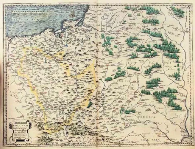
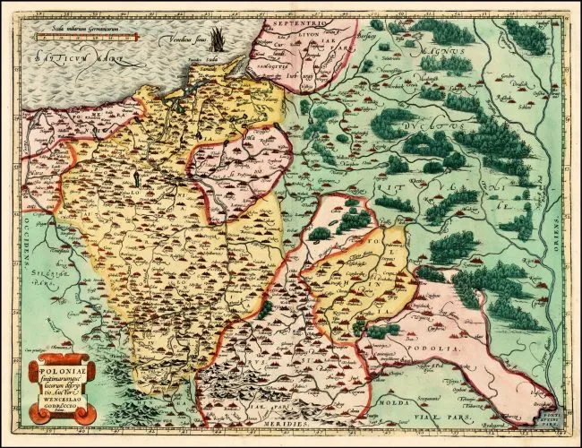
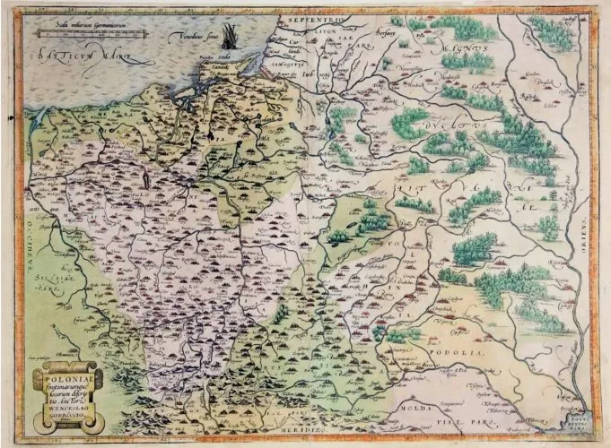
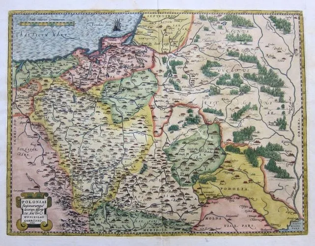
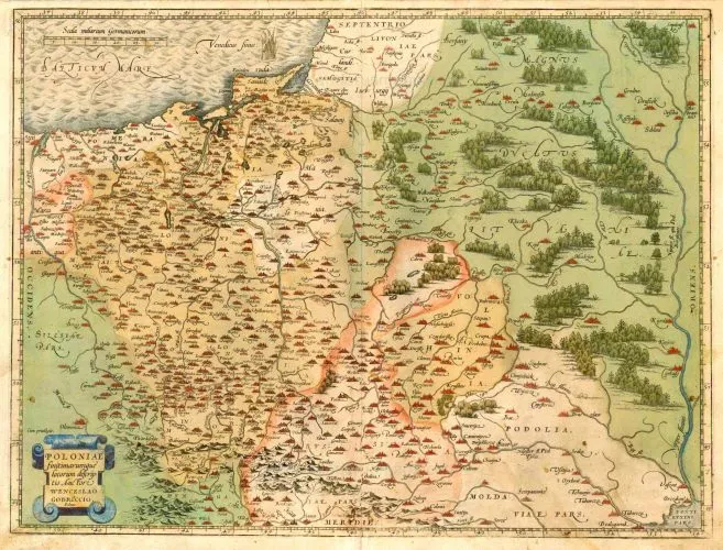
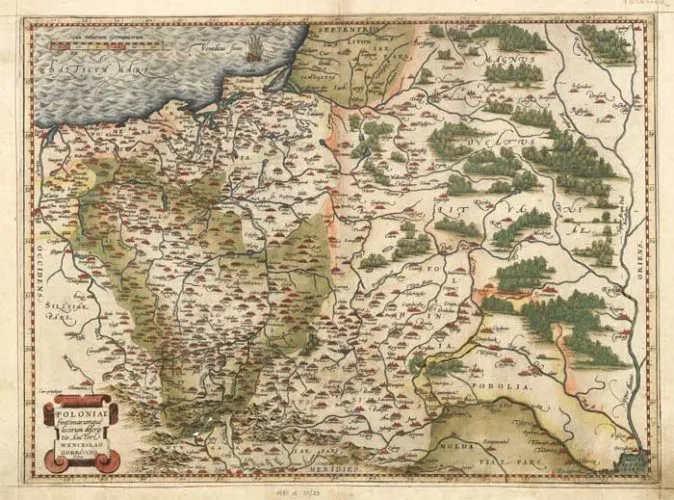
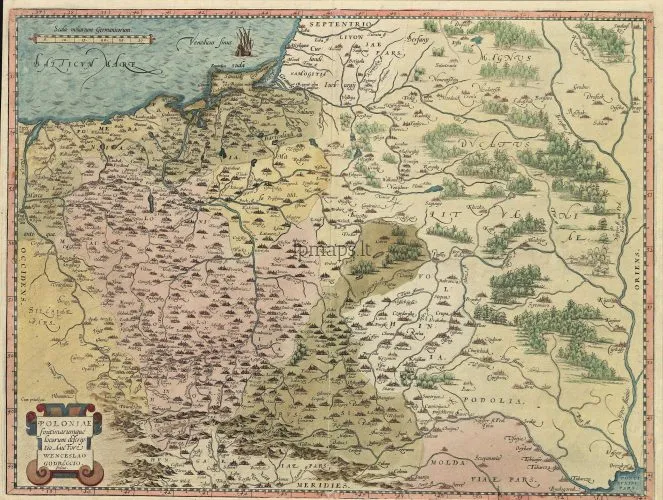
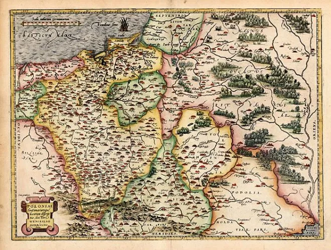
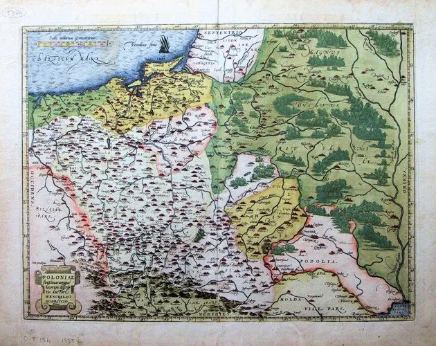
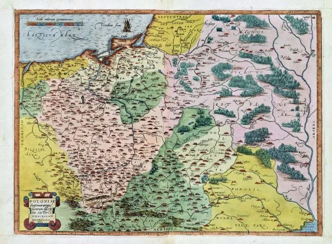
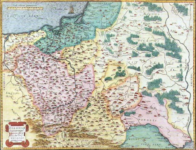
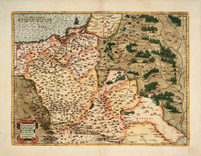
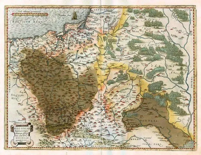
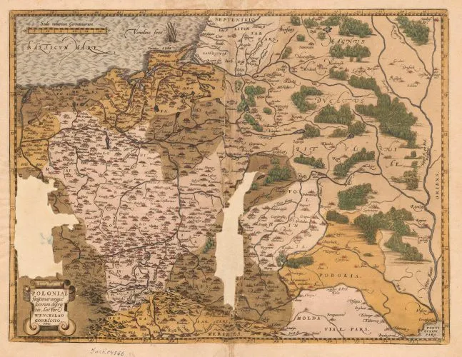
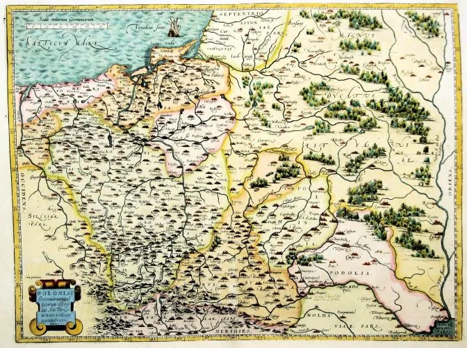
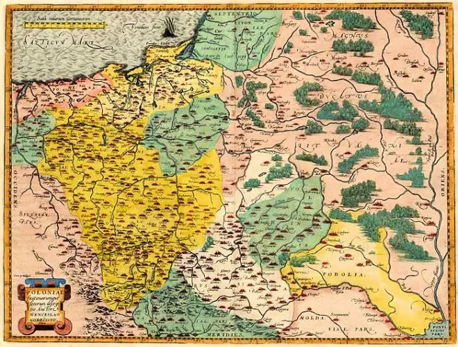
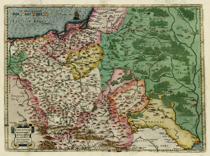
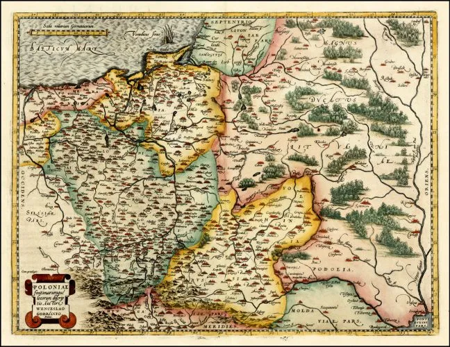
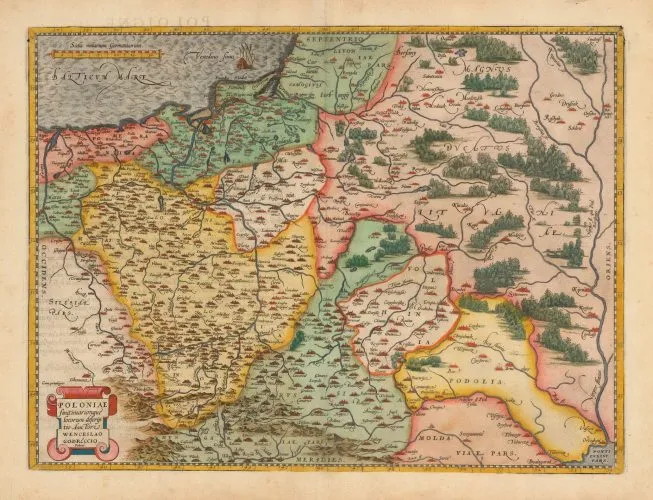
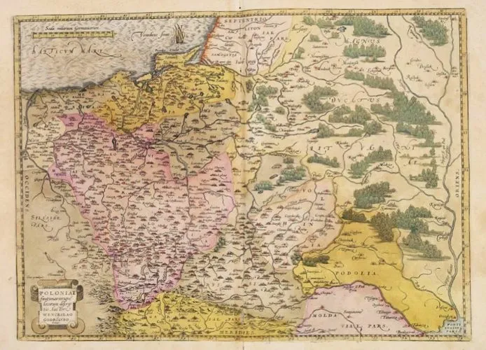
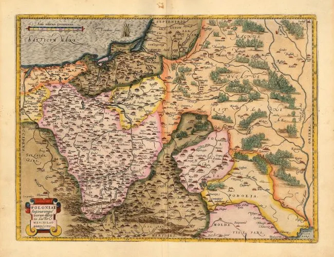
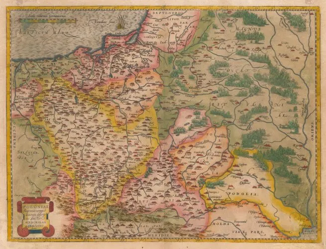
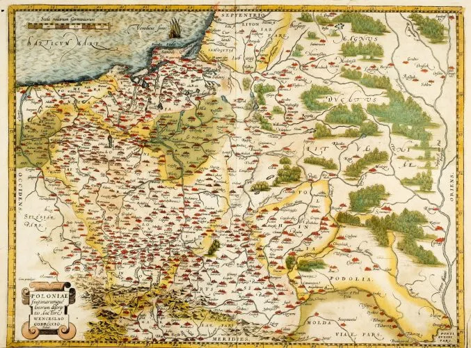
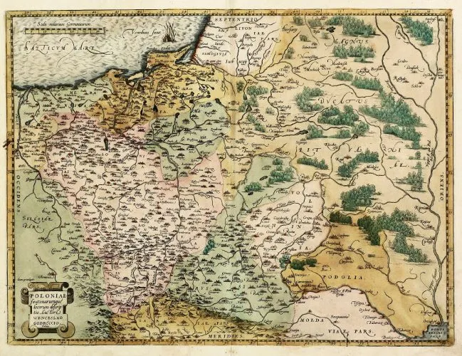
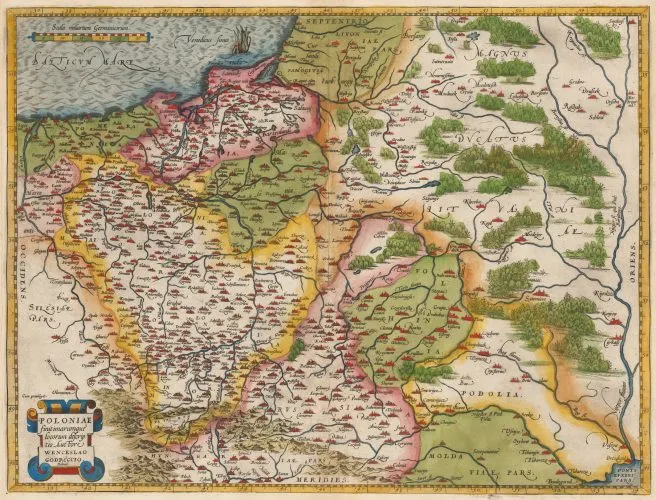
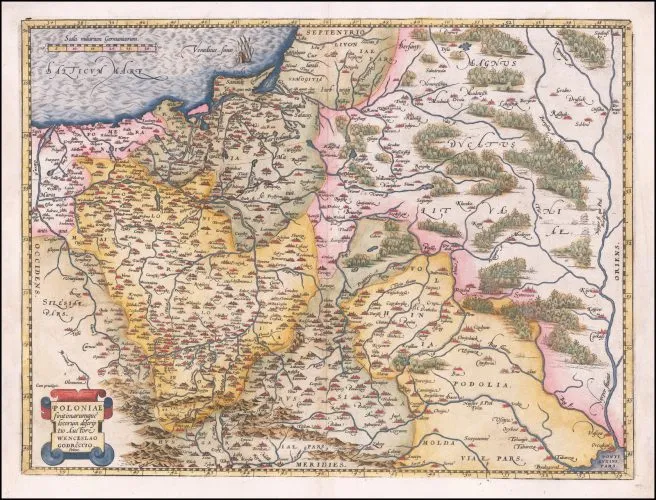
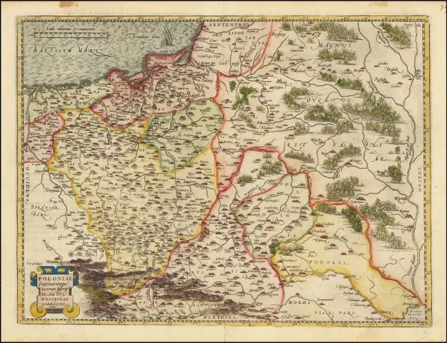
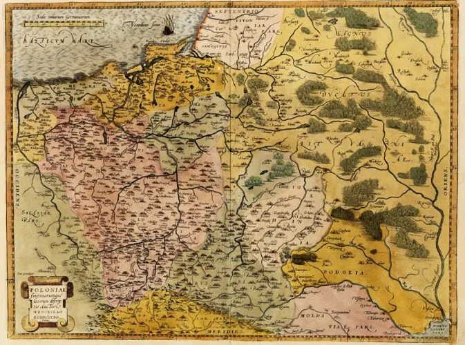
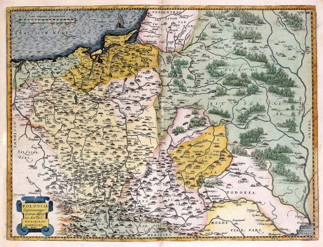
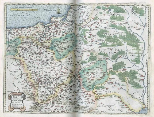
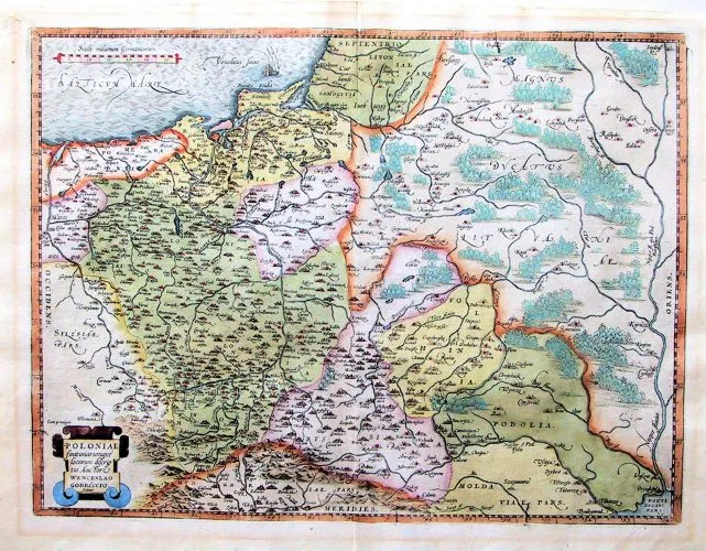
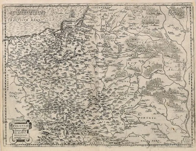
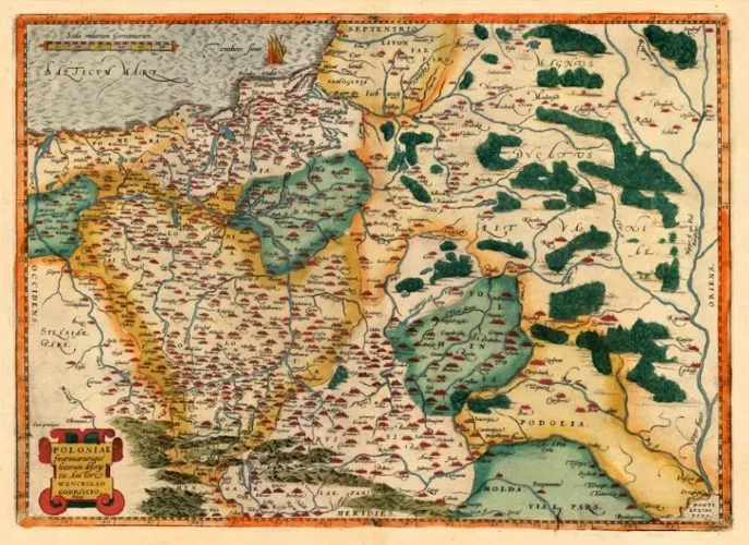
POLONIAE FINITIMARUMQUE LOCORUM DESCRIPTIO. AUCTORE WENCESLAO GODRECCIO POLONO." (A DEPICTION OF POLAND, ITS BORDERS AND PLACES)
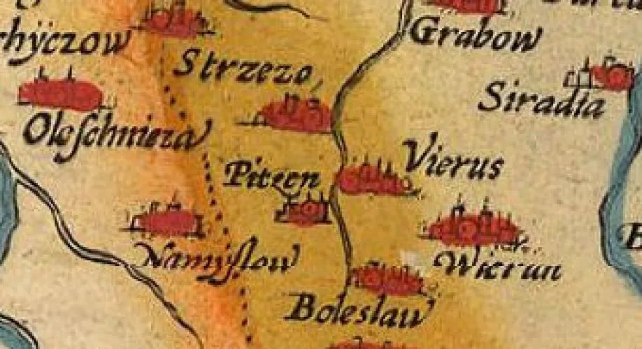
Vaclovas Grodeckis (original mapmaker, in 1558) – Abraham Ortelius (geographer/publisher): “POLONIAE finitimarumque locorum descriptio, Auctore Wenceslao Godreccio, Polono,” (A depiction of Poland, its borders and places) from “Theatrum Orbis Terrarum” initially published 1570 in Antwerp at 19.5 x 14.5 inches / 38 x 50.5 cm., but later published in many different sizes, and acknowledged as the first atlas. The 1592 Swaen and The Maphouse maps have Latin text on verso, a State Four. According to van den Broecke “in 1587, the Silesian town Pitzen has been added, on the upper Prosna River, located on Polish territory.
States of “POLONIAE “finitimarumque locorum descriptio”
Atlas language: L = Latin; D = Dutch; G = German; F = French; S = Spanish
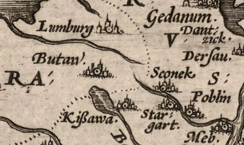
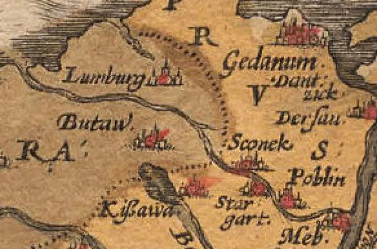
#1: (published 1570 L&D, ’71 L&D,’72 G&F, ’73 L, ’74 L, ’75 L) (1,755 copies, total) has two unnamed small rivers in Pomerania (running near “Lumburg” and near “Stargart” near the Baltic sea which are (correctly) unconnected, though traces are visible of erasure of a connecting river.
#2: (published 1579 L, ’80 G, ’81 F) (1,250 copies, total)
a) beginning 1579 the two rivers mentioned in #1 have (incorrectly) been connected.
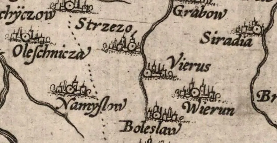
b) town names “Sluchou” and “Greiffenburg” in Pomerania now read “Sluchon” and “Greiffonburg.”
c) river name “Gwda” is changed to “Girda.”
d) “Frydberg” (left middle) is changed to “Frydborg.”
#3: (published 1584 L) (750 copies)
a) beginning 1584 “Kynsberg” (left middle) is changed to “Kynsborg.”
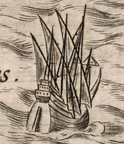
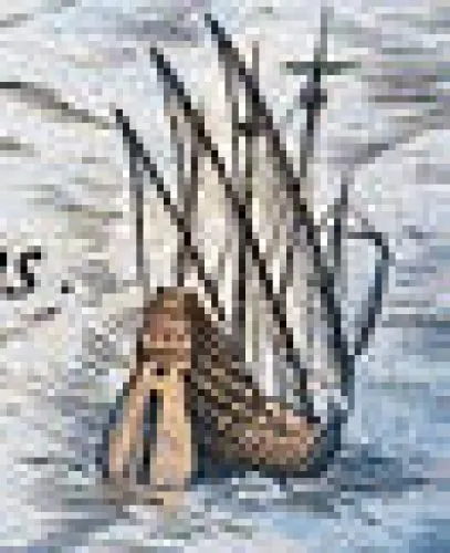
b) The ship has diagonal hatching from lower left to upper right on top of the vertical hatching.
#4: (published 1587 F, ’88 S, ’92 L) (1,075 copies, total)
in 1587, the Silesian town “Pitzen” (today’s Byczyna) was added.
Town Date Added or Changed
or River (fl.)
Frydberg 1579 changed to Frydborg
Greiffenburg 1579 changed to Greiffonburg
Gwda fl. 1579 changed to Girda fl.
Izdbicza 1584 changed to Izdbieza
Kynsberg 1584 changed to Kynsborg
Pitzen added 1587
Ratiuz 1584 changed to Ratuiz
Rimanow 1575 changed to Pimanow
Sluchou 1579 changed to Sluchon
Tĸczin 1579 changed to Tĸcziu
Vadowice 1575 changed to Vadonice
Data from www.orteliusmaps.com
Orteliusmaps.com has assigned map quadrants to every town and river labeled on this map. But where is an image of the map with quadrants? From an email received December 12, 2019: “Dear Mr. Kapochunas, I regret to tell you that images of quadrants are not available on my website, nor in my books. Kind regards, Marcel van den Broecke”



![Tab[ula] mod[erna] Tartarie, (www.sothebys.com)](https://lietuvoskartografi4c16a.zapwp.com/q:i/r:0/wp:1/w:1/u:https://lietuvoskartografija.lt/lithuanianmaps/wp-content/uploads/2021/11/1524_c_fries_tab_mod_tartarie_sothebys-1024x733.jpg)