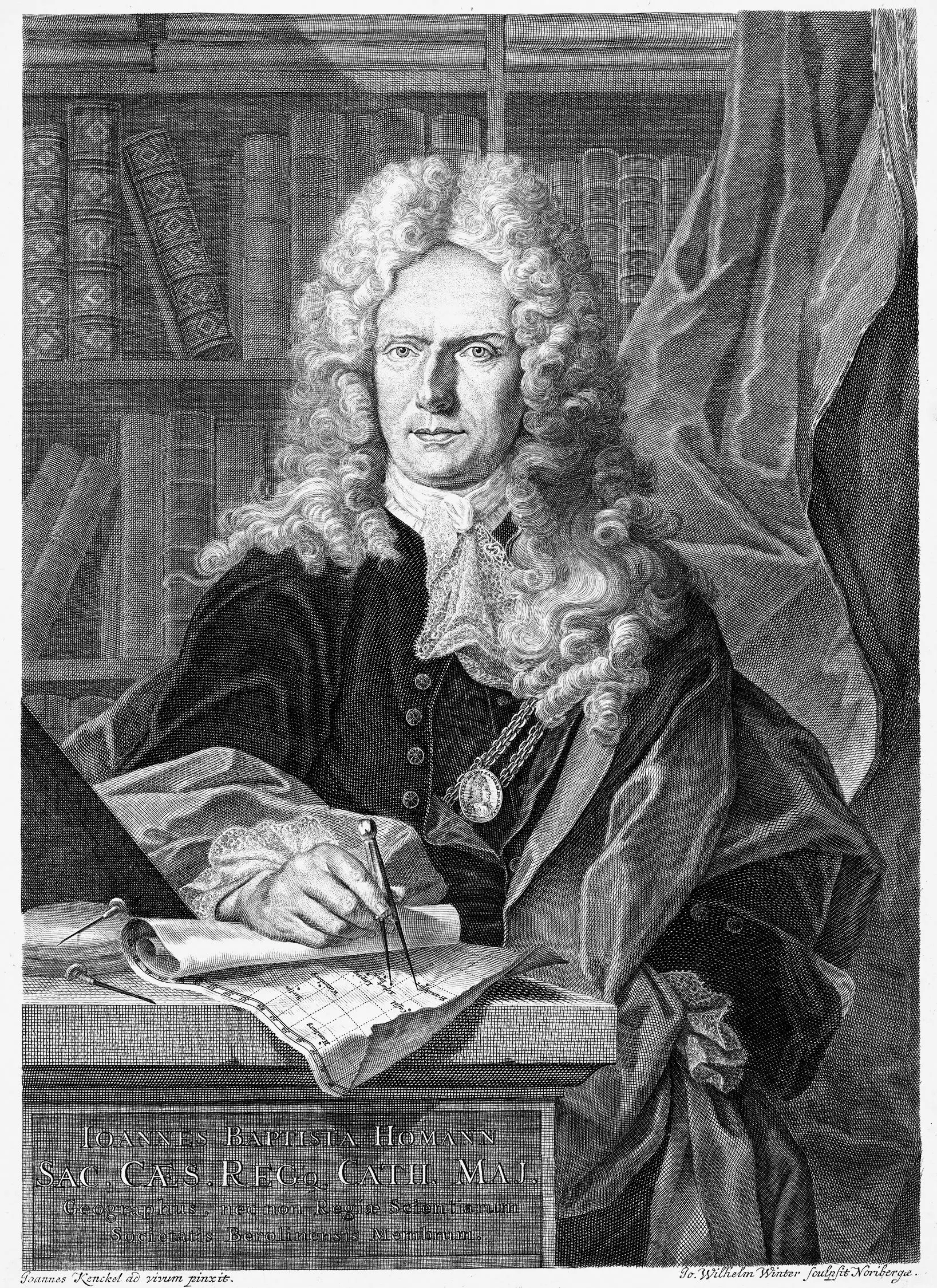
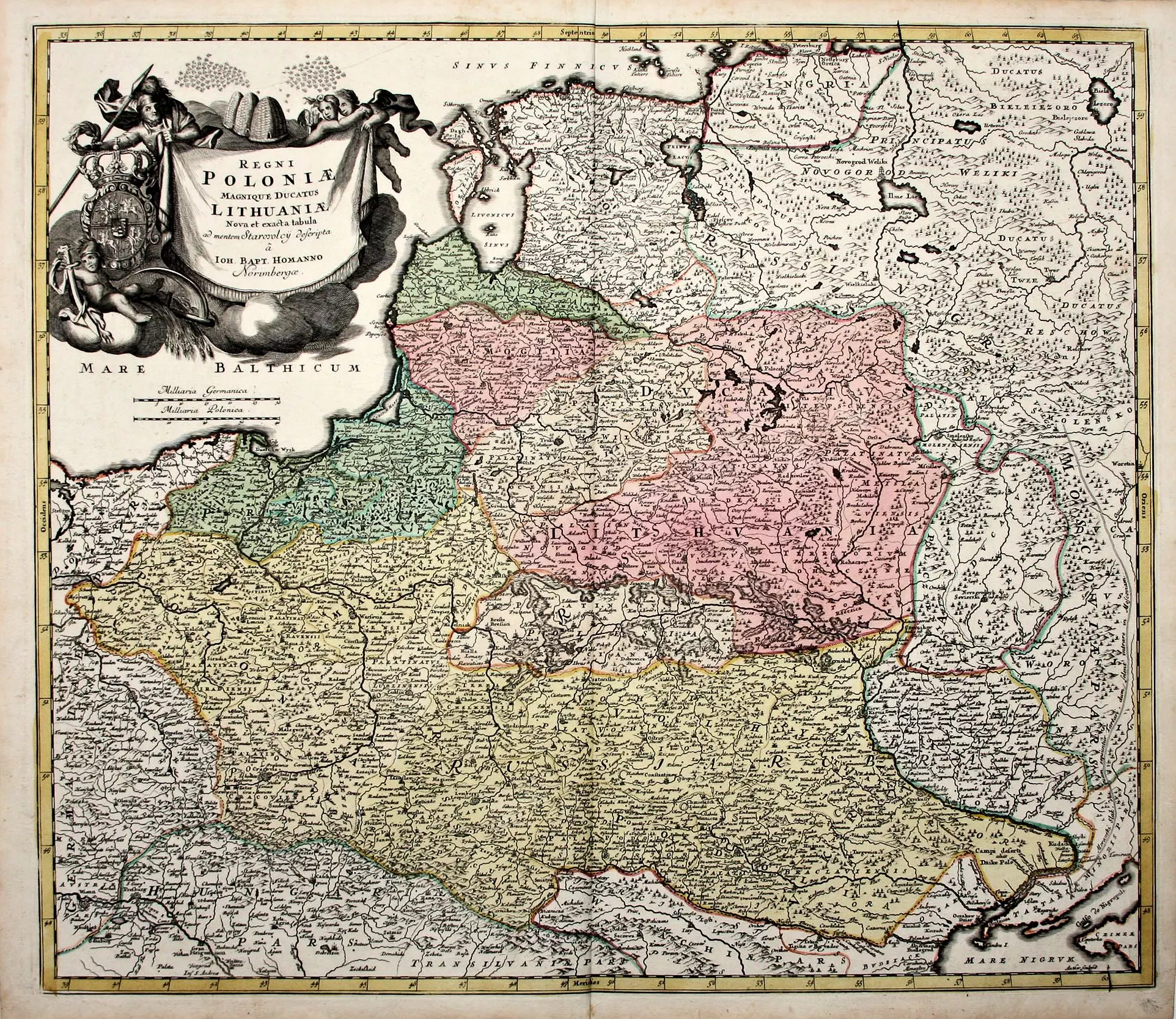
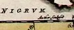
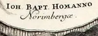
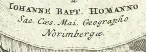
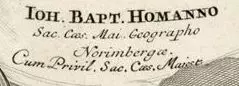
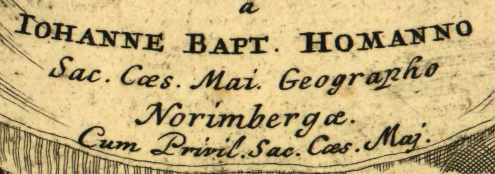
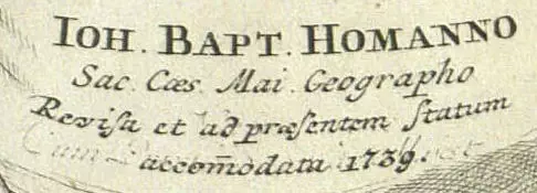
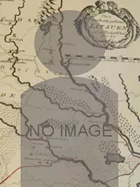
Self-taught copper engraver who founded his own cartographic/publishing firm in 1702, with his first atlas published 1707. Appointed Geographer to the King 1715. His son and successor, Johann C., was also an engraver and publisher who ran the business from 1724 to his death in 1730, whereupon the company became known as Homann Heirs, and by 1813 had issued over 900 maps. It finally closed in 1852. Of particular interest on this site is the J. B. Homann map, first published 1712: “Regni Poloniæ Magnique Ducatus Lithuaniæ nova et exacta ad mentem Starovolcii descripta” pictured on the right, along with the two identifying elements: the bottom of the cartouche and the “Author sculpsit” just above the frameline on the lower right.