description
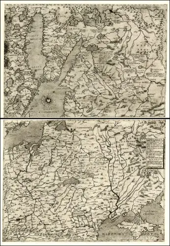
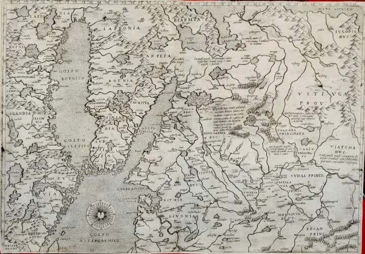
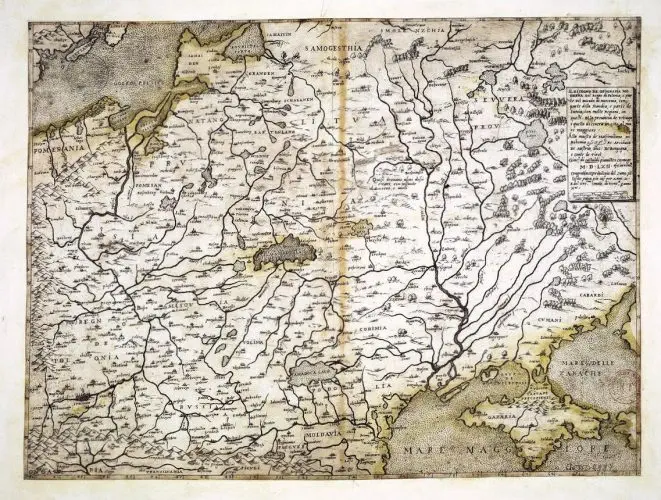
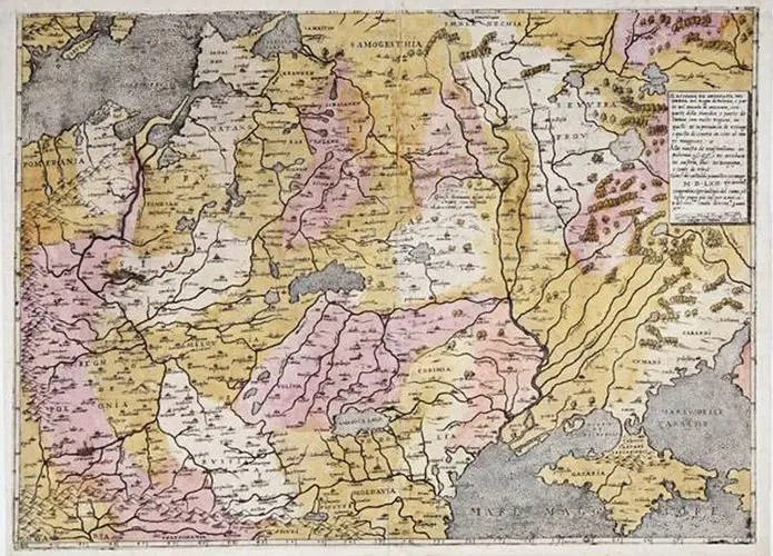
IL DISEGNO DE GEOGRAFIA MODERNA DEL REGNO DI POLONIA, E PARTE DEL DUCADO DI MOSCOVIA, CON PARTE DELLA SCANDIA, E PARTE DE SUEVIA, CON MOLTE REGIONI, IN QUELLI [...] MDLXII ...
1562 Giacomo Gastaldi: “Il Disegno de Geografia Moderna del Regno di Polonia, e Parte del Ducado di
Moscovia, con parte della Scandia, e parte de Suevia, con molte Regioni,in quelli. . . MDLXII . . .”
Venice, 21 x 30.5 inches (if joined). The first edition of Gastaldi’s 2-sheet map of the Kingdom of Poland, generally recognized as the earliest map to focus on Poland. Derived from Mercator’s 1554 map of Europe, the map was also likely influenced by the maps of Bernard Wapowski (1526) and Grodeckis published in 1548, now lost, but copied by Ortelius in 1570. Paolo Forlani issued a subsequent edition of Gastaldi’s 2 sheet map in 1568.
Year
1562
Author
Giacomo Gastaldi
Sources
National Library of Finland: http://www.doria.fi/
National Library of France: www.gallica.bnf.fr


![Tab[ula] mod[erna] Tartarie, (www.sothebys.com)](https://lietuvoskartografi4c16a.zapwp.com/q:i/r:0/wp:1/w:1/u:https://lietuvoskartografija.lt/lithuanianmaps/wp-content/uploads/2021/11/1524_c_fries_tab_mod_tartarie_sothebys-1024x733.jpg)