description
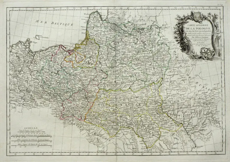
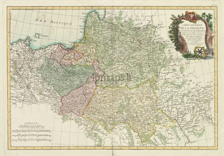
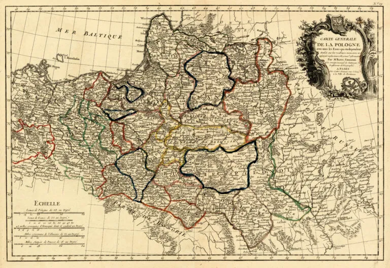
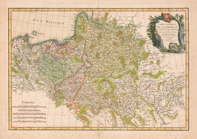
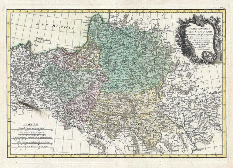
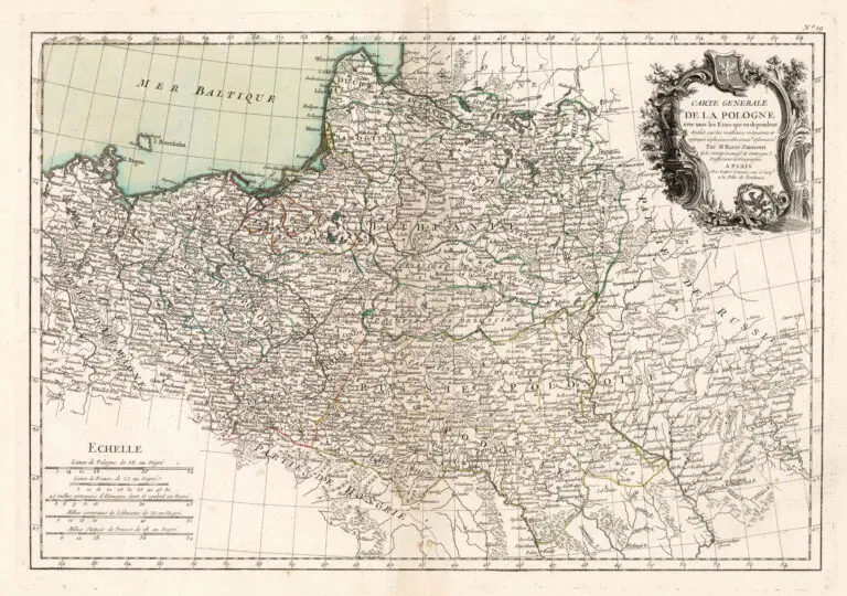
CARTE GENERALE DE LA POLOGNE avec tous les Etats qui en dependent
1762 Giovanni Rizzi-Zannoni: “CARTE GENERALE DE LA POLOGNE avec tous les Etats qui en dependent,” Paris, 18 x 12.5 inches / 54 x 38 cm, in the 1st and 2nd States, and included as plate no. 19 in the 1762 first edition of Rigobert Bonne Jean Lattre’s “Atlas Moderne ou collection de cartes sur toutes les parties du monde..,” which had 36 maps by Bonne, Lattre and Rizzi-Zannoni. Click the link to Rizzi-Zannoni to see how to identify States 1-5.
Year
1762
Author
Sources
Cartographic and Geological Institute of Catalonia:
https://cartotecadigital.icc.cat/



![Tab[ula] mod[erna] Tartarie, (www.sothebys.com)](https://lietuvoskartografi4c16a.zapwp.com/q:i/r:0/wp:1/w:1/u:https://lietuvoskartografija.lt/lithuanianmaps/wp-content/uploads/2021/11/1524_c_fries_tab_mod_tartarie_sothebys-1024x733.jpg)