description
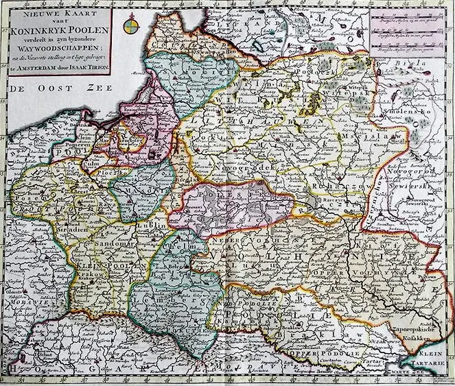
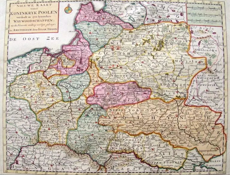
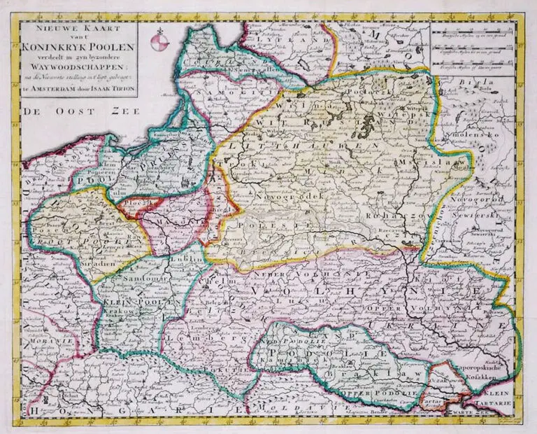
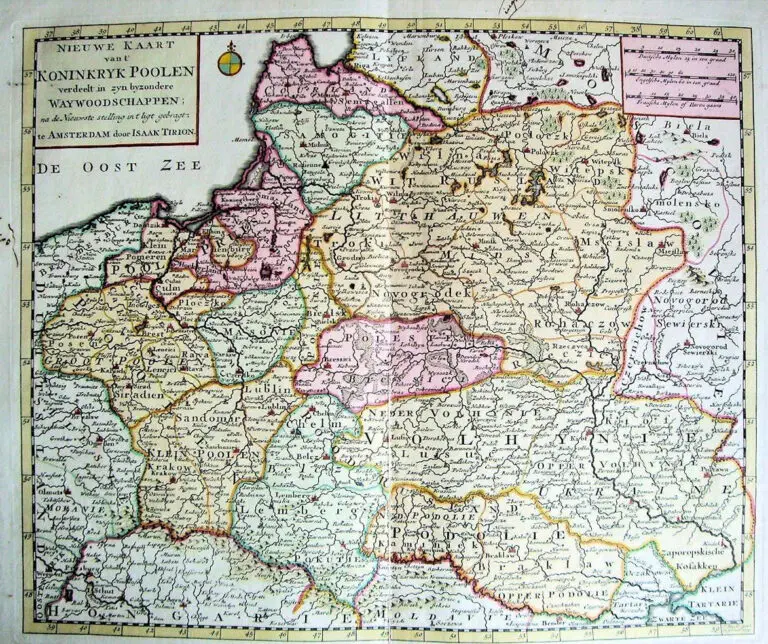
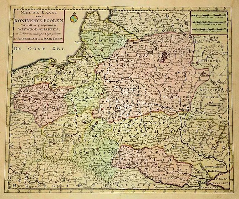
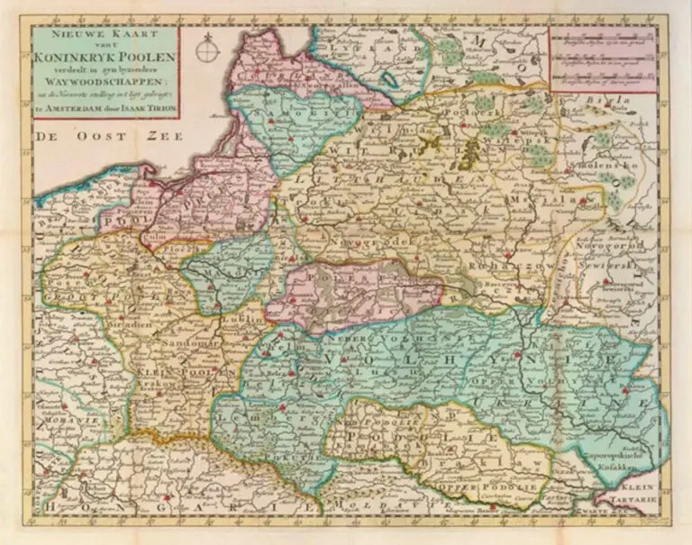
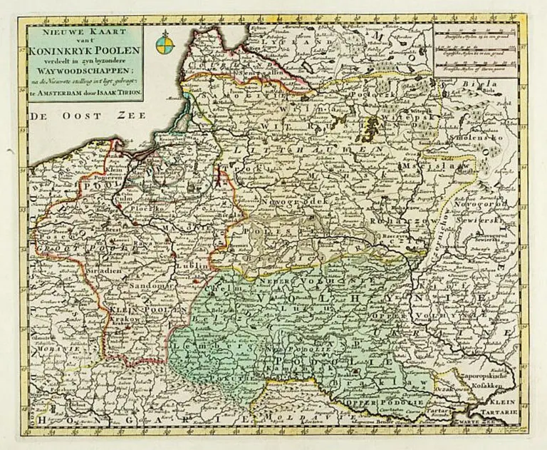
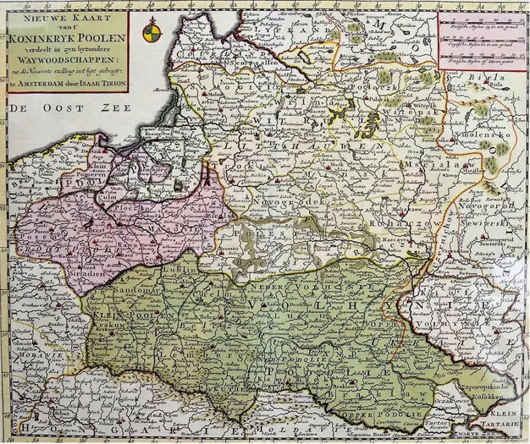
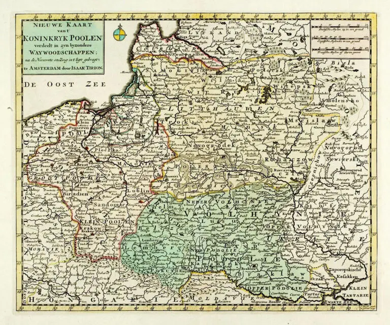
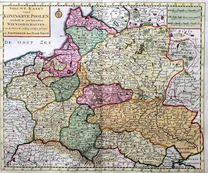
Nieuwe Kaart vant KONINKRYK POOLEN, verdeet in zyn byzondere Waywoodschapen na de Nieuwste stellung int ligt gebragt te Amsterdam door Isaak Tirion
G. Delisle (original mapmaker) – Jacob Keyser/Keizer – (re-engraver) – Isaac Tirion: “Nieuwe Kaart vant KONINKRYK POOLEN, verdeet in zyn byzondere Waywoodschapen na de Nieuwste stellung int ligt gebragt te Amsterdam door Isaak Tirion” (New Map of the Kingdom Of Poland, Divided into its Palatinates, according to the latest observations and annotations, published in Amsterdam by Tirion), in versions based on a map by Delisle.
Year
1744
Author
Sources
www.antykwariat.wojtowicz.krakau.pl
Universiteit van Amsterdam:
https://www.uvaerfgoed.nl/
Vilnius Univ. Library: https://www.vu.lt/



![Tab[ula] mod[erna] Tartarie, (www.sothebys.com)](https://lietuvoskartografi4c16a.zapwp.com/q:i/r:0/wp:1/w:1/u:https://lietuvoskartografija.lt/lithuanianmaps/wp-content/uploads/2021/11/1524_c_fries_tab_mod_tartarie_sothebys-1024x733.jpg)