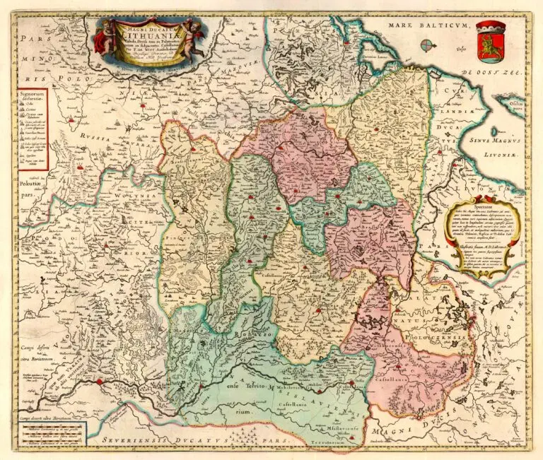
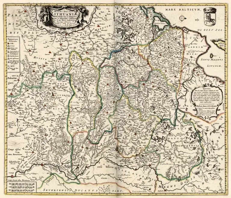
description
Magni Ducatus Lithuaniæ Tabula, Divisa tam in Palatinatus, quam in subjacentes Castellanias
1720-40 Willem Blaue (original publisher) – Frederick de Wit (revsing publisher) – I. Covens et C. Mortier (final publisher): “Magni Ducatus Lithuaniæ Tabula, Divisa tam in Palatinatus, quam in subjacentes Castellanias,” Amsterdam, 17.4 x 20.5 inches / 44.5 x 52.5 cm, from their “Composite Atlas,” published 1720-41. The plate with compass North on the right started with Merian’s 1638 version, and revised by Blaeu in 1648. A fire at Blaeu in 1672 led to the auction of plates, purchased by de Wit in 1673-74. Meanwhile Blaeu sold their version from inventory until a final auction in 1695. Pieter Mortier bought the plate from de Wit in 1710, and a version with his company’s name beneath the
cartouche was published beginning in 1720.


![Tab[ula] mod[erna] Tartarie, (www.sothebys.com)](https://lietuvoskartografi4c16a.zapwp.com/q:i/r:0/wp:1/w:1/u:https://lietuvoskartografija.lt/lithuanianmaps/wp-content/uploads/2021/11/1524_c_fries_tab_mod_tartarie_sothebys-1024x733.jpg)