description
POLONIAE REGNVM
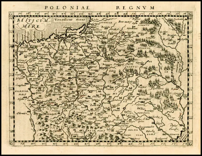
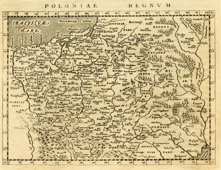
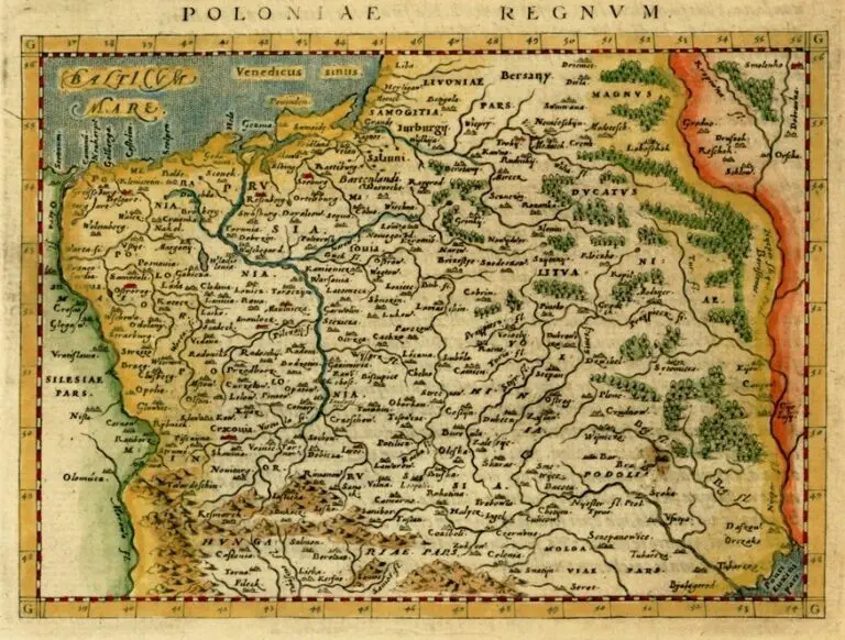
1596: Giovanni Antonio Magini – Girolamo Porro (engraver): “POLONIAE REGNVM”
Venice, 7 x 5 inches, from the Latin “Geographiae Universae tum Veteris tum Novae Absolutissimum.” 1597: The first edition of Leonardo Cernoti’s Italian translation of Magini’s “Geographiae,” published by G. B. Galignani & G. Galignani. See the 1617 version.
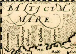
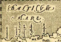
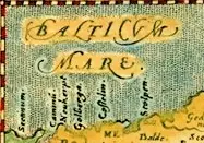
Are the first two maps by Giovanni Antonio Magini, published a year apart, identical? No! Look at the detail enlargements of each map, of an area of where changes to the plate are most obvious: changes to the inscription “Balticum Mare” (Baltic Sea), and to the background stippling. You’ll see many maps at this site that may look identical at first glance, but which are different, either to the plate or to the coloring.



![Tab[ula] mod[erna] Tartarie, (www.sothebys.com)](https://lietuvoskartografi4c16a.zapwp.com/q:i/r:0/wp:1/w:1/u:https://lietuvoskartografija.lt/lithuanianmaps/wp-content/uploads/2021/11/1524_c_fries_tab_mod_tartarie_sothebys-1024x733.jpg)