description
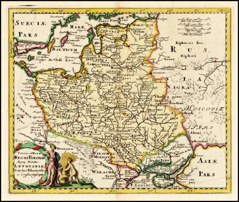
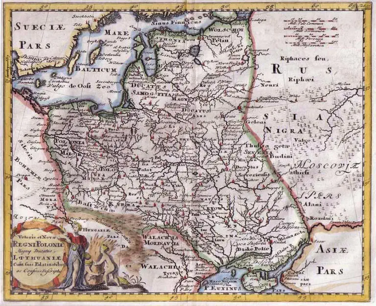
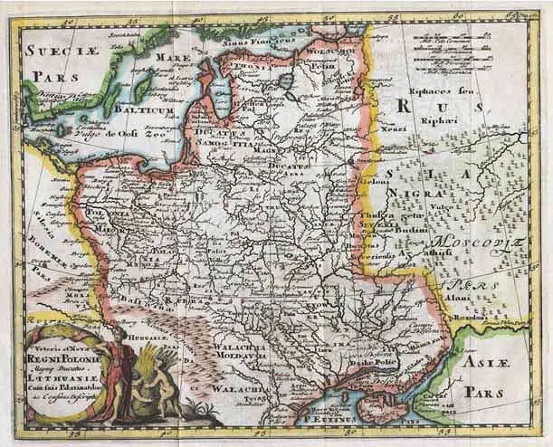
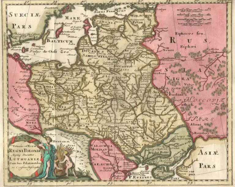
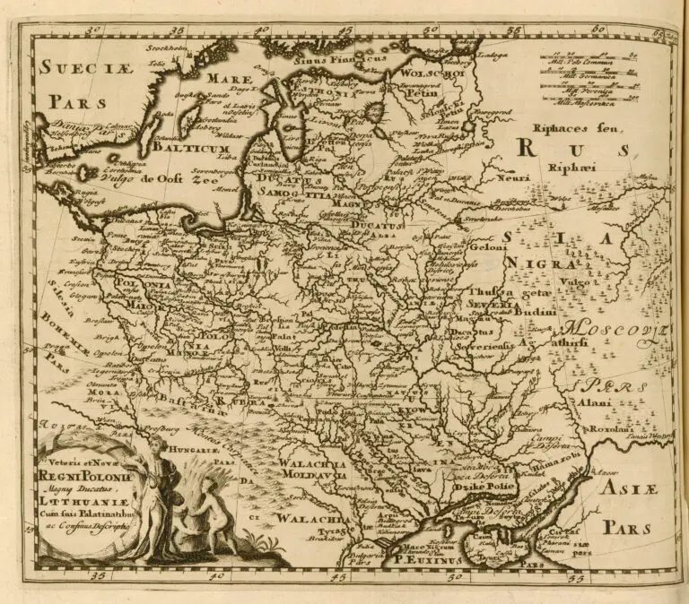
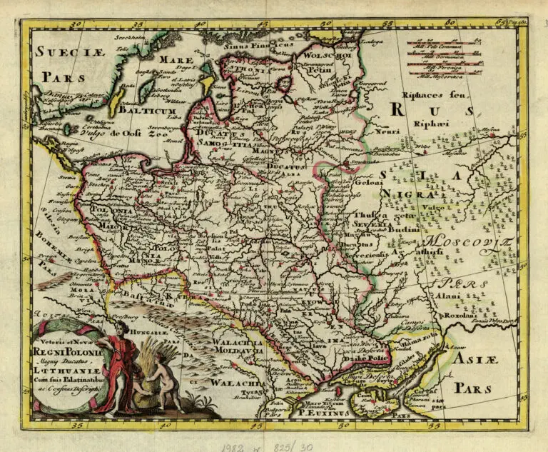
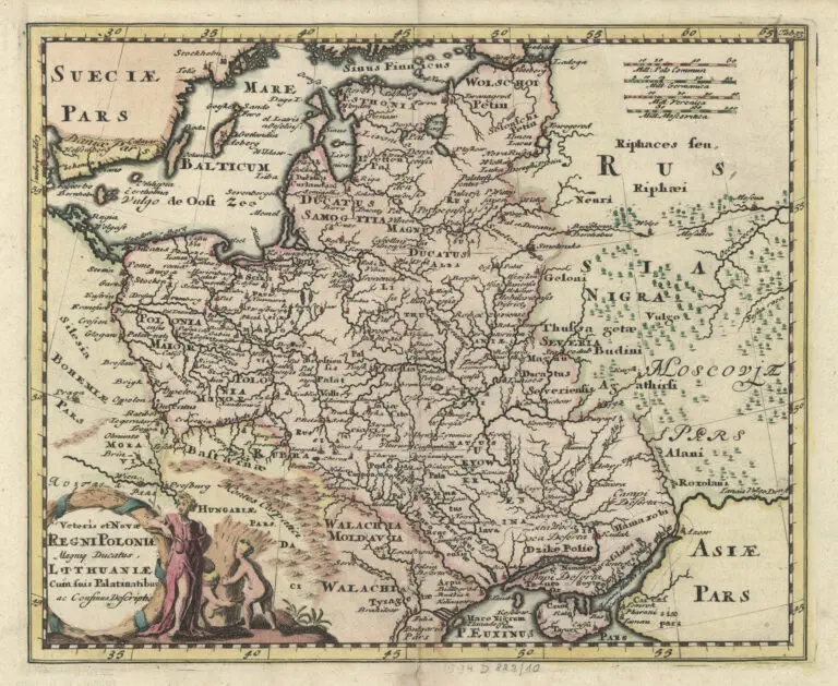
Veteris et Novæ Regni Poloniæ Magniq Ducatus Lithuaniæ..,
1697 Philipp Clüver – Typis Joannis Wolters (Amsterdam publisher) – Sam. Smith & Benj. Walford (London publisher): “Veteris et Novæ Regni Poloniæ Magniq Ducatus Lithuaniæ..,” Leyden and London, 25 x 28 cm / 8.5 x 10 inches, in the second Latin version of the plate from “Introductionis in Universam Geographicum,” issued from 1624 (with no maps) until 1729 – when it had this same plate. Note the different eastern boundaries for Lithuania, ignoring the dotted-line boundaries visible in the uncolored version.
Year
1697
Author
Sources
John Carter Brown Library:
https://jcb.lunaimaging.com/
National Library of Poland
via www.mapywig.org




![Tab[ula] mod[erna] Tartarie, (www.sothebys.com)](https://lietuvoskartografi4c16a.zapwp.com/q:i/r:0/wp:1/w:1/u:https://lietuvoskartografija.lt/lithuanianmaps/wp-content/uploads/2021/11/1524_c_fries_tab_mod_tartarie_sothebys-1024x733.jpg)