description
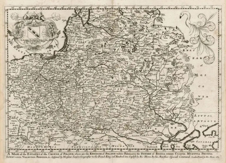
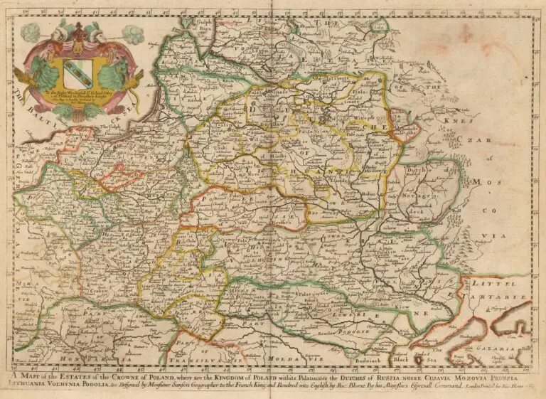
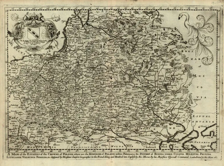
A Mapp of the Estates of the Crowne of Poland, where are the Kingdom of Poland with its Palatinates the Dutches of Russia Noire Cujavia Mozovia Prussia Lithuania Volhynia Podolia &c...1669
1669 [dated] Sanson (original cartographer) – Richard Blome (publisher): “A Mapp of the Estates of the Crowne of Poland, where are the Kingdom of Poland with its Palatinates the Dutches of Russia Noire Cujavia Mozovia Prussia Lithuania Volhynia Podolia &c…1669,” London, 15.5 x 10.5 inches. The earliest folio-sized map of the region engraved in England. While Speed’s atlas was published earlier, his plates were engraved and printed in Amster- dam. To finance his work, Blome undertook subscribers, in exchange for a promise to add their coat of arms to certain maps. In later editions, if the renewal fee was not paid, Blome added a different subscriber’s coat of arms, leading to multiple images on various editions of the same map. This map’s dedication: “To the Right Worshipful Sr. Richard Otley of Pichford, in Shropsheir Knight.” See the 1680 version.


![Tab[ula] mod[erna] Tartarie, (www.sothebys.com)](https://lietuvoskartografi4c16a.zapwp.com/q:i/r:0/wp:1/w:1/u:https://lietuvoskartografija.lt/lithuanianmaps/wp-content/uploads/2021/11/1524_c_fries_tab_mod_tartarie_sothebys-1024x733.jpg)