description
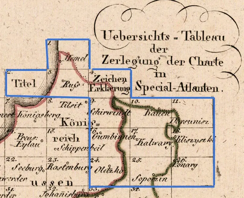
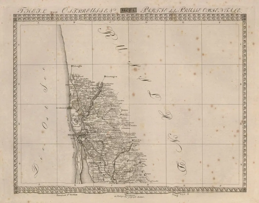
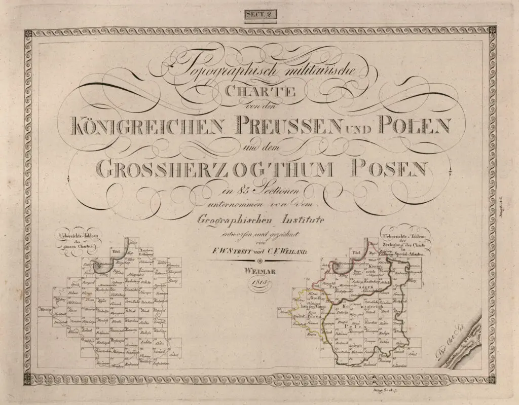
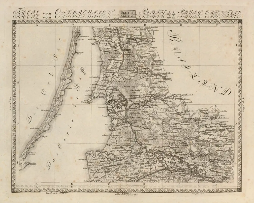
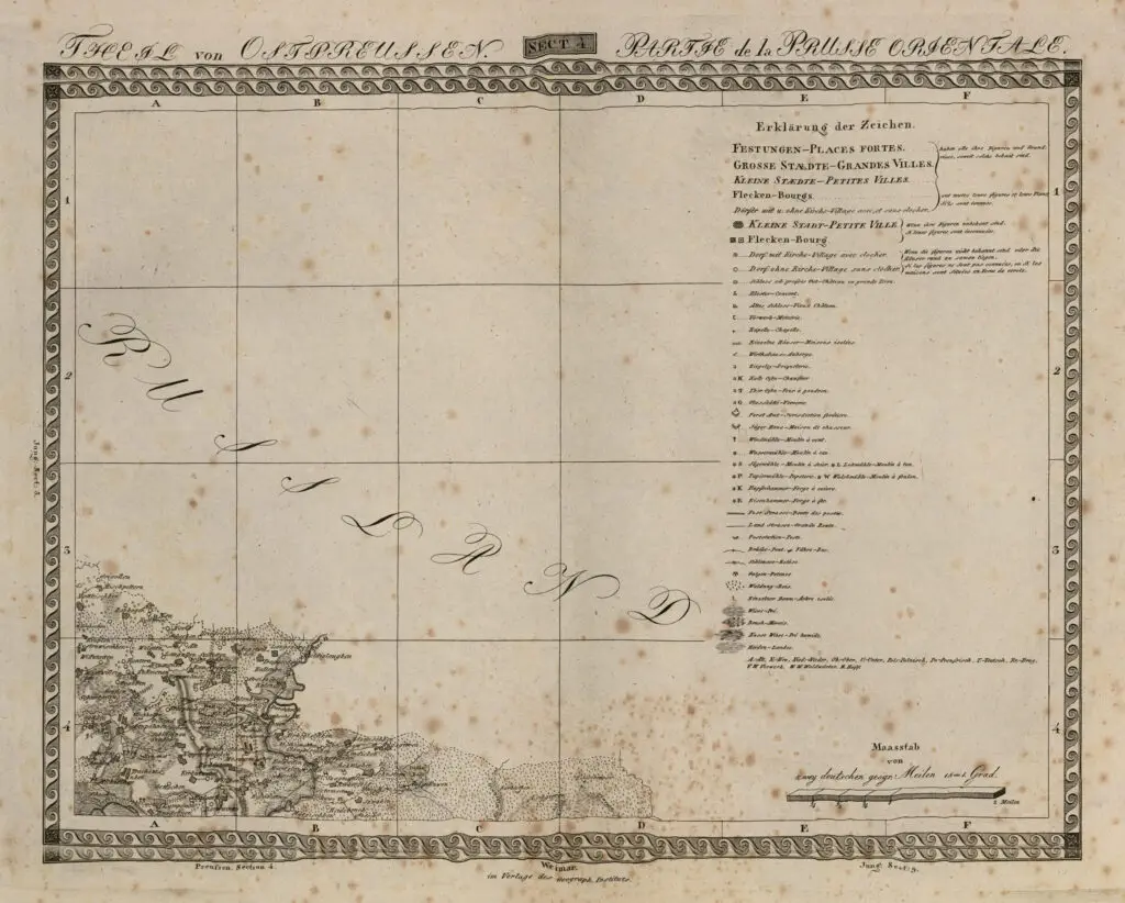
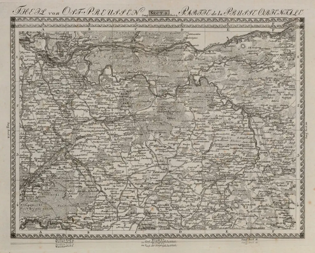
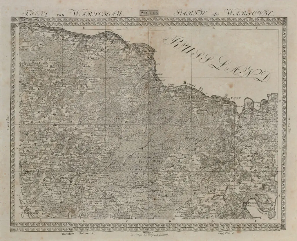
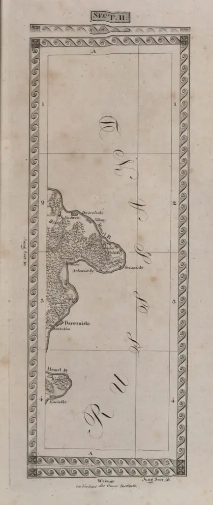
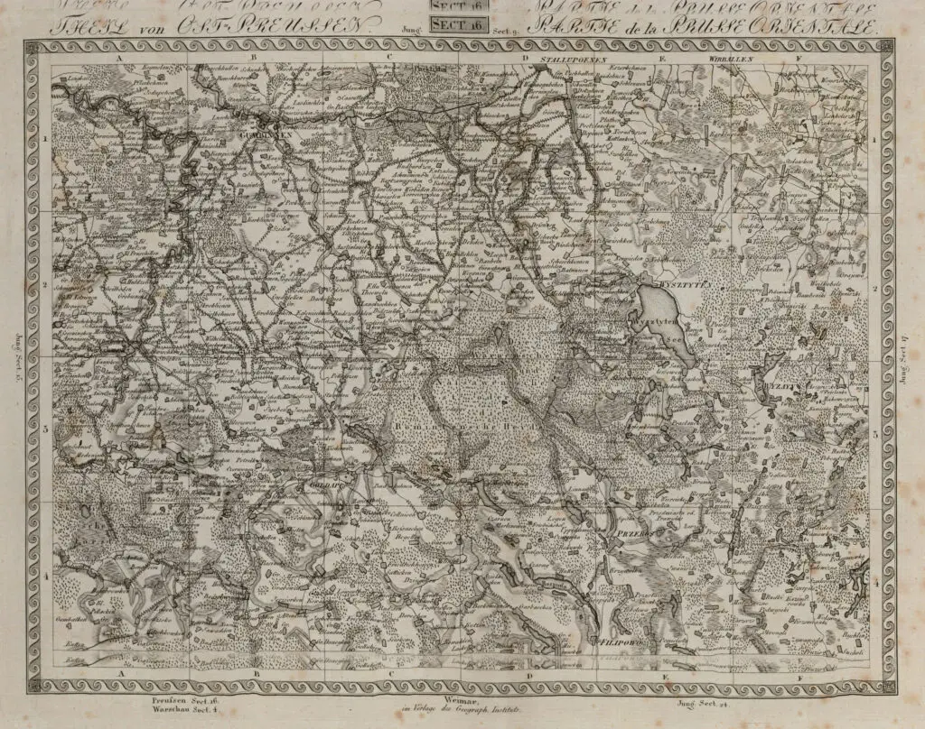
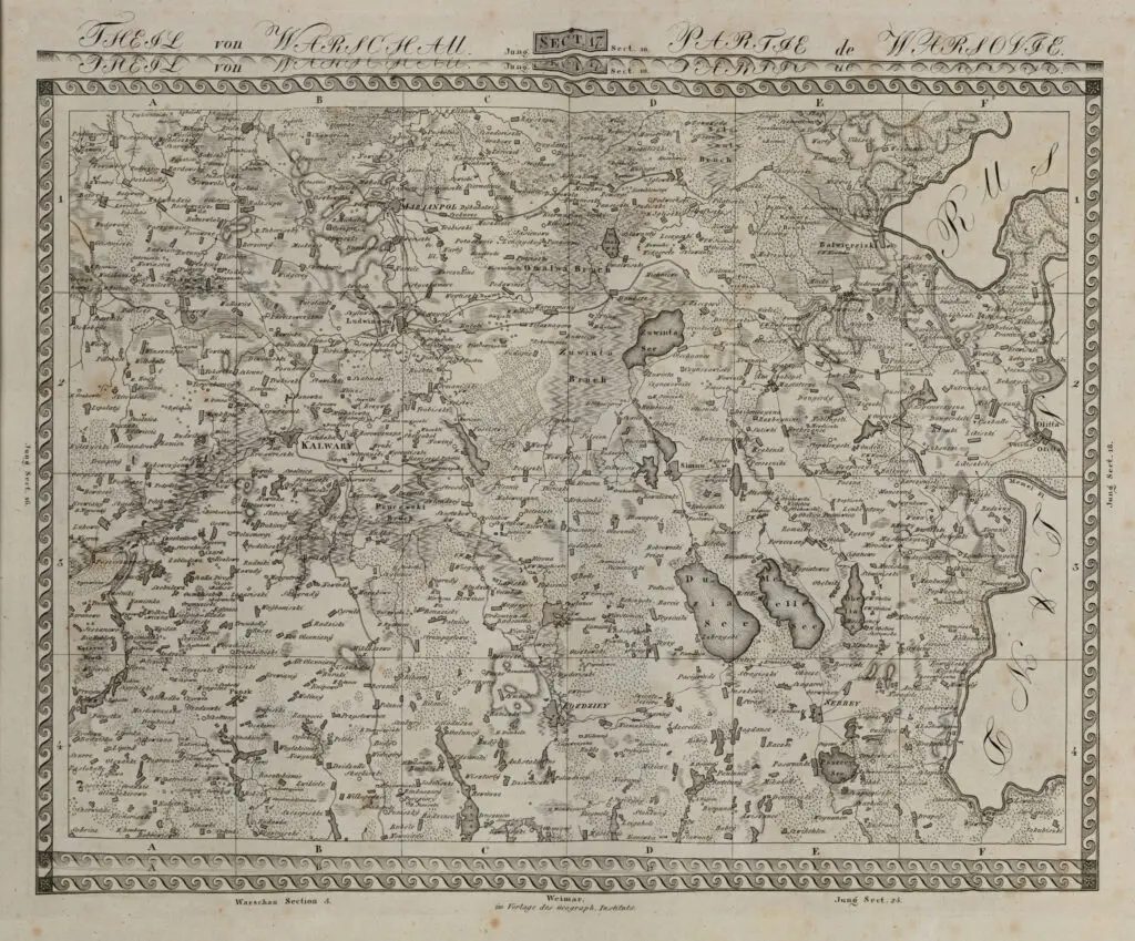
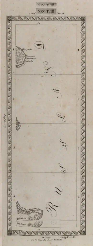
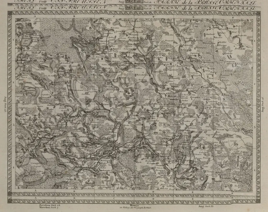
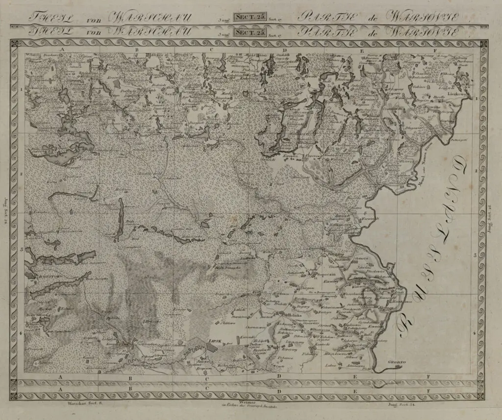
Topographisch militarische Charte von den Königreichen Preussen und Polen in 85 Sectionen
Weimar, 31.5 x 41.5 cm – and some smaller – sectional maps.
As an aftermath of the Third, 1795, Partition of the Polish-Lithuanian Commonwealth, former Grand Duchy of Lithuania (GDL) lands – including Augustavas (Pol.: Augustów) and Suvalkija
(Pol.: Suwałki ) were annexed by Prussia, and included in “New East Prussia.” New East Prussia was divided into the Kammerdepartements Bialystok — former GDL lands – and Płock which were divided into the following counties (Kreise): Białystok Department: Bialystok, Bielsk, Bobrz, Dombrowa, Drohiczyn, Kalwary, Lomza, Mariampol, Surasz, Wygry Płock Department: Lipno, Mlawa, Ostrolenka, Plozk, Przasnik, Pultusk, Wyszogrod.
In 1806, the area, with a population of 914,610 within a territory of less than 21,236 square miles/55,000 km², was conquered by Napoleon and overrun in the Greater Poland Uprising. The July 9, 1807 Treaty of Tilsit divided those former GDL lands: Plock Department went to the Duchy of Warsaw. Prussian troops contributed, alongside the British and Dutch, to the final victory over Napoleon in the Battle of Waterloo of June 1815. The Final Act of the Congress of Vienna was signed on June 9, 1815, a few days before the Battle of Waterloo. Prussia was given the recovery of territories including the Rhineland, Westphalia, 40% of Saxony and some other territories. In exchange, Prussia withdrew from areas of central Poland and allowed the creation of Congress Poland under Russian sovereignty. The area remained in nominal Polish hands until WWI. Białystok Department became, from 1807 to 1842, Belostok Oblast within the Russian Empire, after which it was merged into Grodno guberniya.
Year
1815
Author
Friedrich Wilhelm Streit (Director, Geographisches Institute, Weimar)
Carl Ferdinand Weiland
(mapmaker/engraver)

