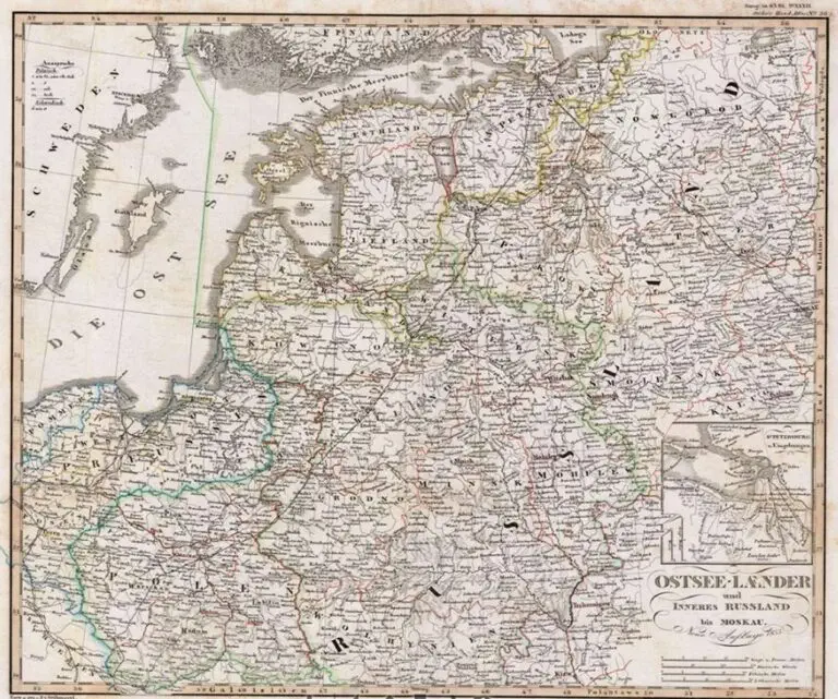
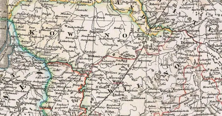
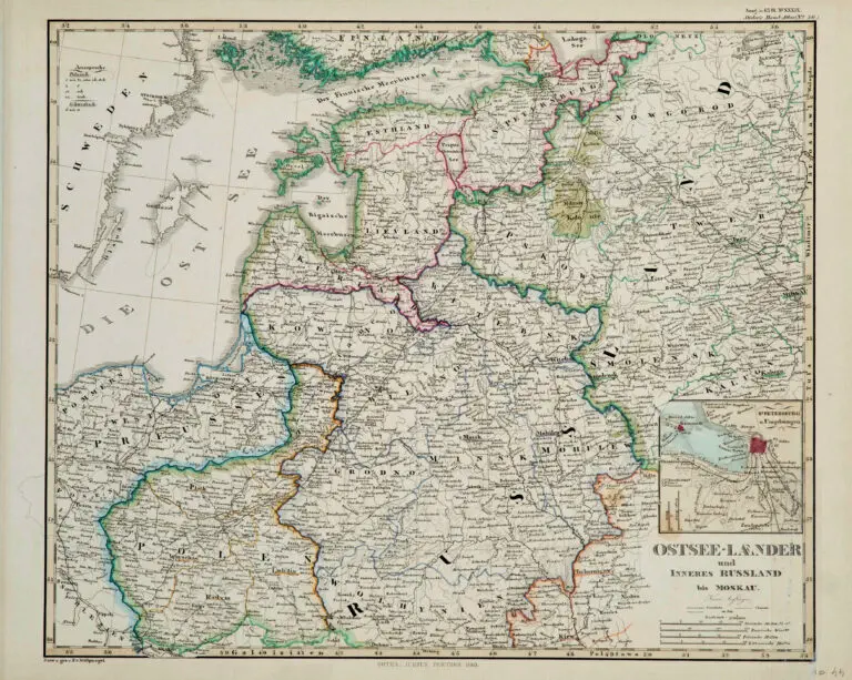
description
OSTSEE- LAENDER UND Inneres RUSSLAND bis MOSKAU
Friedrich von Stülpnagel (engraver/cartographer/editor) – Justus Perthes (publisher).
From “Stielers Handatlas,” formally titled “Hand-Atlas uber alle Theile der Erde und uber das Weltgebaude” (Handy atlas of all parts of the world and of the universe), the leading German world atlas of the last three decades of the 19th and the first half of the 20th century. It went through ten
editions from 1816 to 1944. As with many 19th century publications, an edition was issued in parts; for example, the eighth edition was issued in 32 monthly parts. The first edition, by Stieler and Christian Gottlieb Reichard, was published beginning in 1817, and completed in 1823 (50 maps). After Stieler’s death, Stülpnagel edited the second (1845–47) and third (1852–54) editions (both 83 maps); a fourth edition appeared 1862-64, a fifth 1866-68 (each 84 maps). See the Fifth edition map below.


![Tab[ula] mod[erna] Tartarie, (www.sothebys.com)](https://lietuvoskartografi4c16a.zapwp.com/q:i/r:0/wp:1/w:1/u:https://lietuvoskartografija.lt/lithuanianmaps/wp-content/uploads/2021/11/1524_c_fries_tab_mod_tartarie_sothebys-1024x733.jpg)