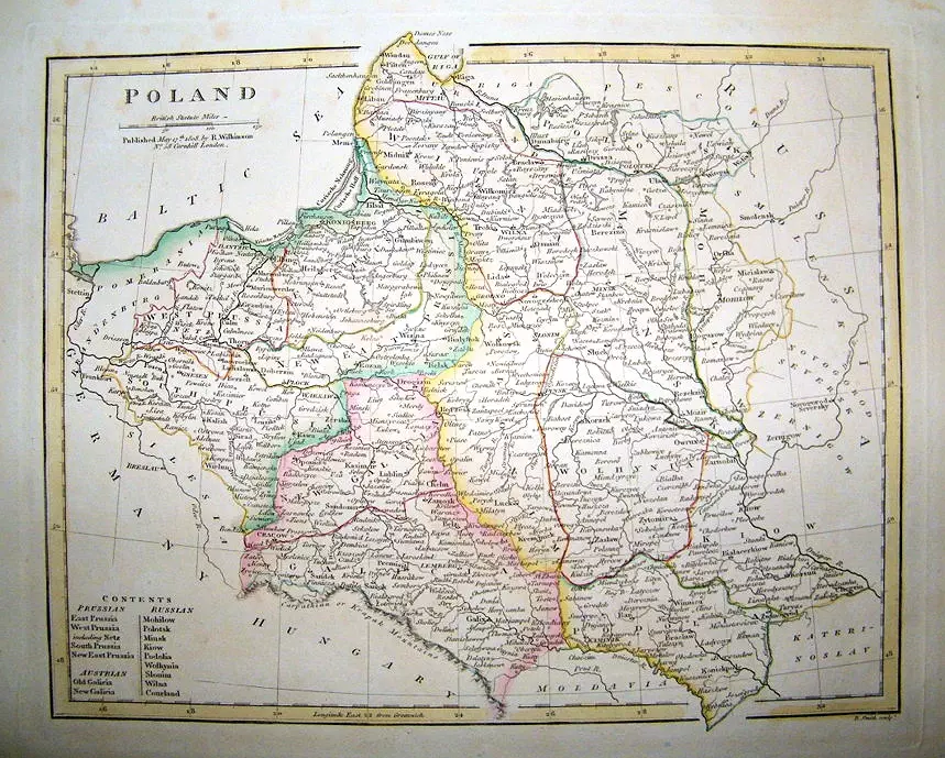
POLAND, 182019th century, 1811–1820, Map of Lithuania/Poland description POLAND 13 x 10 inches / 33 x 26 cm, from “Wilkinson’s General Atlas of the World,” 2nd Edition. Many maps in this edition are dated back to 1809. Compare this version of his map of Poland with the 1810 and 1814 versions on the previous page. Year 1820 Author Robert Wilkinson Sources –


![Tab[ula] mod[erna] Tartarie, (www.sothebys.com)](https://lietuvoskartografi4c16a.zapwp.com/q:i/r:0/wp:1/w:1/u:https://lietuvoskartografija.lt/lithuanianmaps/wp-content/uploads/2021/11/1524_c_fries_tab_mod_tartarie_sothebys-1024x733.jpg)