description
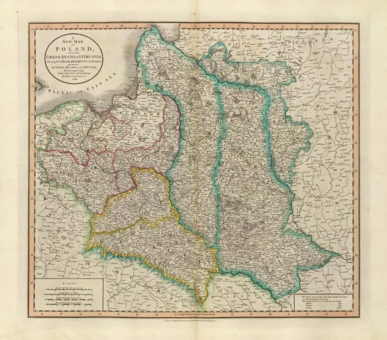
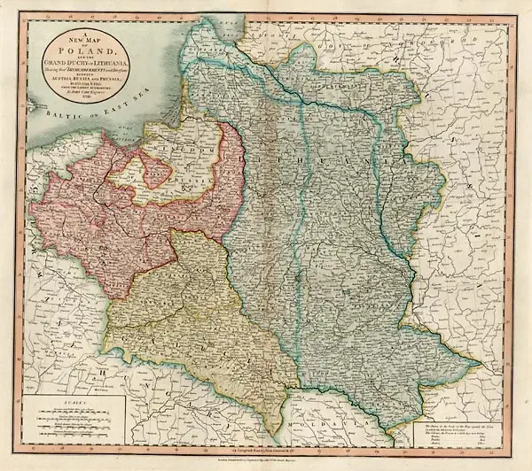
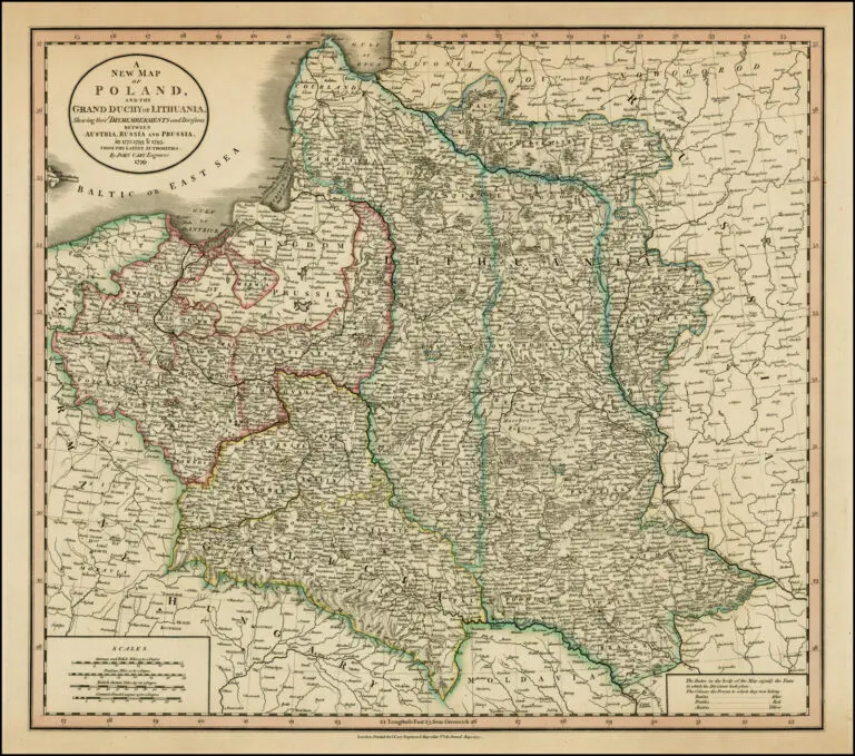
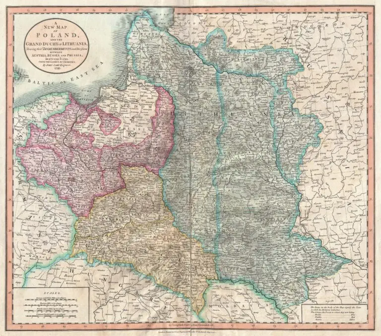
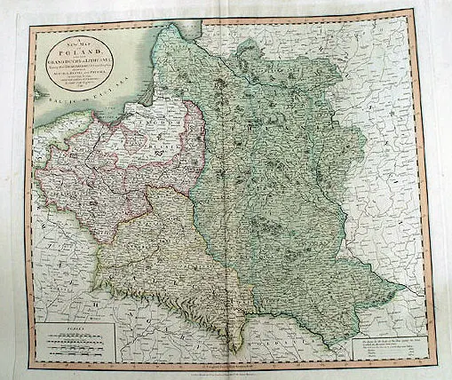
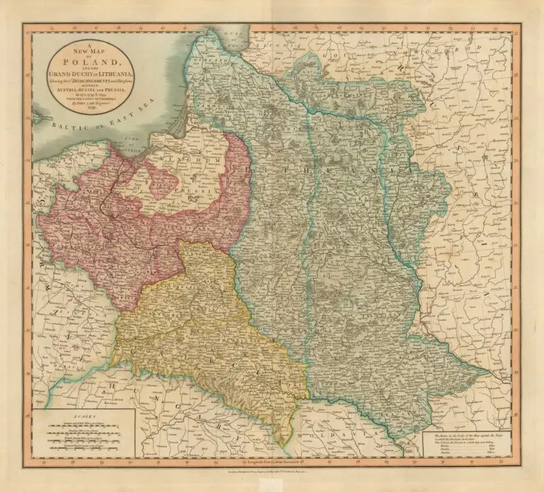
A New Map of Poland, and the Grand Duchy of Lithuania, shewing their dismemberments and divisions between Austria, Russia and Prussia, in 1772, 1793 & 1795, from the latest authorities
John Cary maps of Poland-Lithuania from “Cary’s new universal atlas, containing distinct maps of all the principal states and kingdoms throughout the World.” You will see this map ascribed, on other sites and at various map sources, to 1799, the date on the map, but the atlas from which this map was taken says it is a first edition, and is dated 1808 on the spine. Best available information on all the editions of the atlas and dates on this map: 1808; 1811 (see below) – a reissue of 1808 with no map changes other than an 1811 date appearing on some maps; 1819 (see examples on next page) – for which a third of the maps were changed; 1824 – with no changes in 1819 maps except for the date; 1828 – same as 1824 except for date changes; and reissues in 1833, 1836, and 1844. London.



![Tab[ula] mod[erna] Tartarie, (www.sothebys.com)](https://lietuvoskartografi4c16a.zapwp.com/q:i/r:0/wp:1/w:1/u:https://lietuvoskartografija.lt/lithuanianmaps/wp-content/uploads/2021/11/1524_c_fries_tab_mod_tartarie_sothebys-1024x733.jpg)